The Walk is a series of blog posts dedicated to documenting the current experience of walking between Downtown Syracuse and its surrounding neighborhoods. The purpose of these pieces is to highlight the importance of connections between neighborhoods. Small pockets of walkable spaces exist throughout the City, but there are large gaps between each. Building out safe, pleasant, and convenient routes between the City center and nearby neighborhoods is a great place to start.
To many people, the Middle Ages Brewing Company is already in Downtown Syracuse, and they may be right. It is located right near the heart of the City, just over half a mile from Clinton Square. In years past, plenty of National Grid employees, with its headquarters located just a few blocks away, would line the street with their cars during the day as the closest place to store them for free.
But, according to the City of Syracuse, it lies within the Park Ave neighborhood on the City’s westside. And there are clear barriers between the Park Ave neighborhood and Downtown Syracuse that you notice when you’re on foot. Barriers that only require a little thinking to overcome and stitch these neighborhoods together as they should be.
Clinton Square
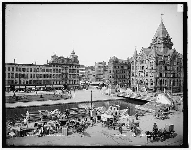
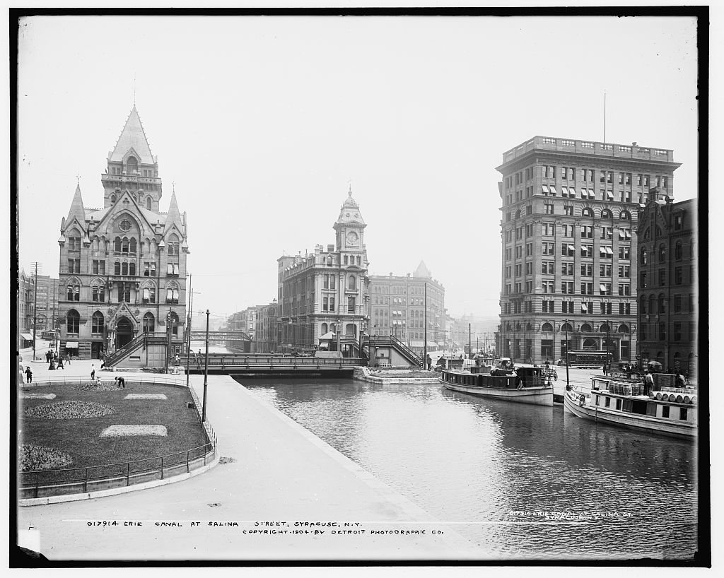
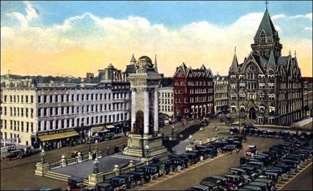
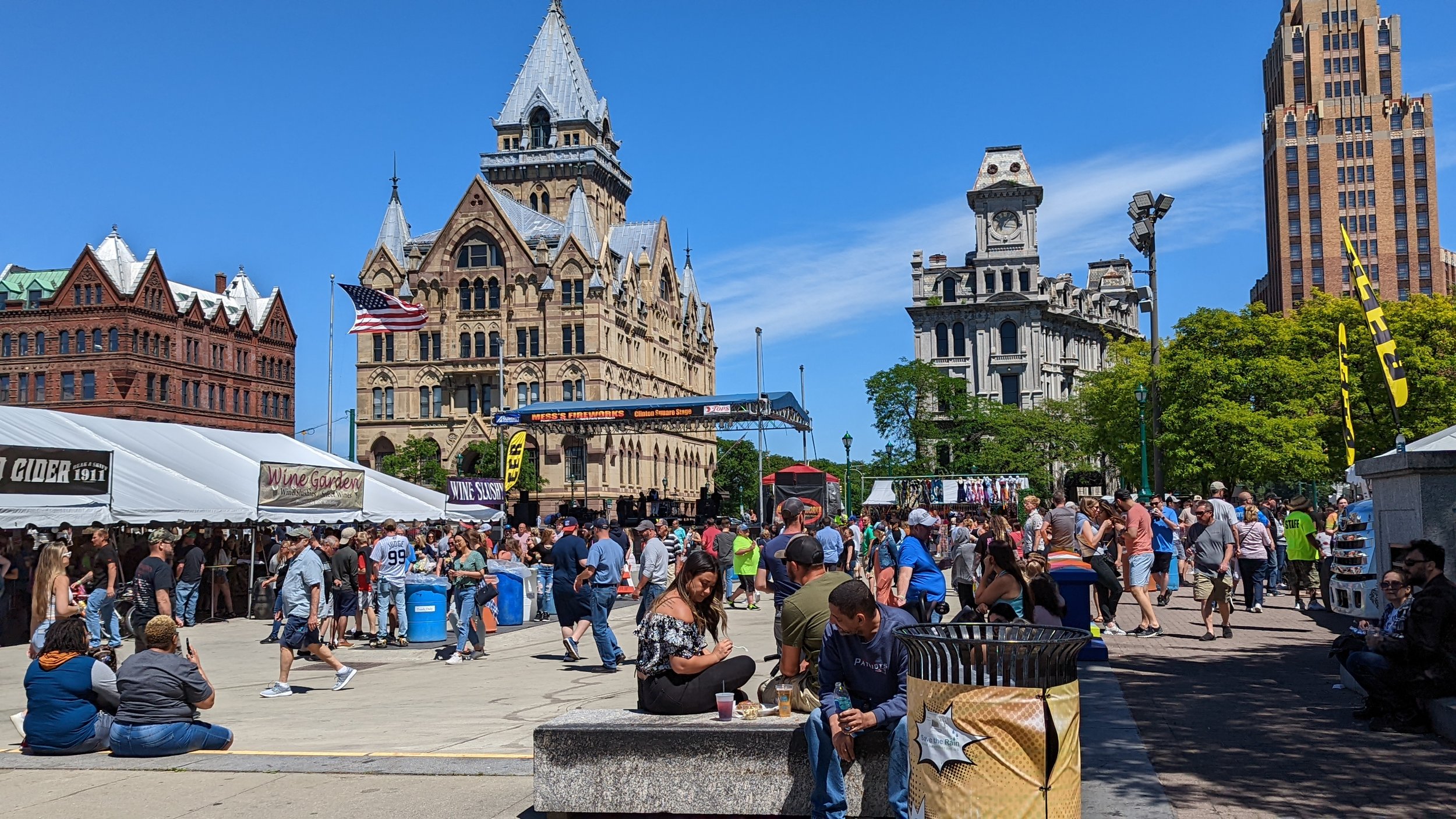
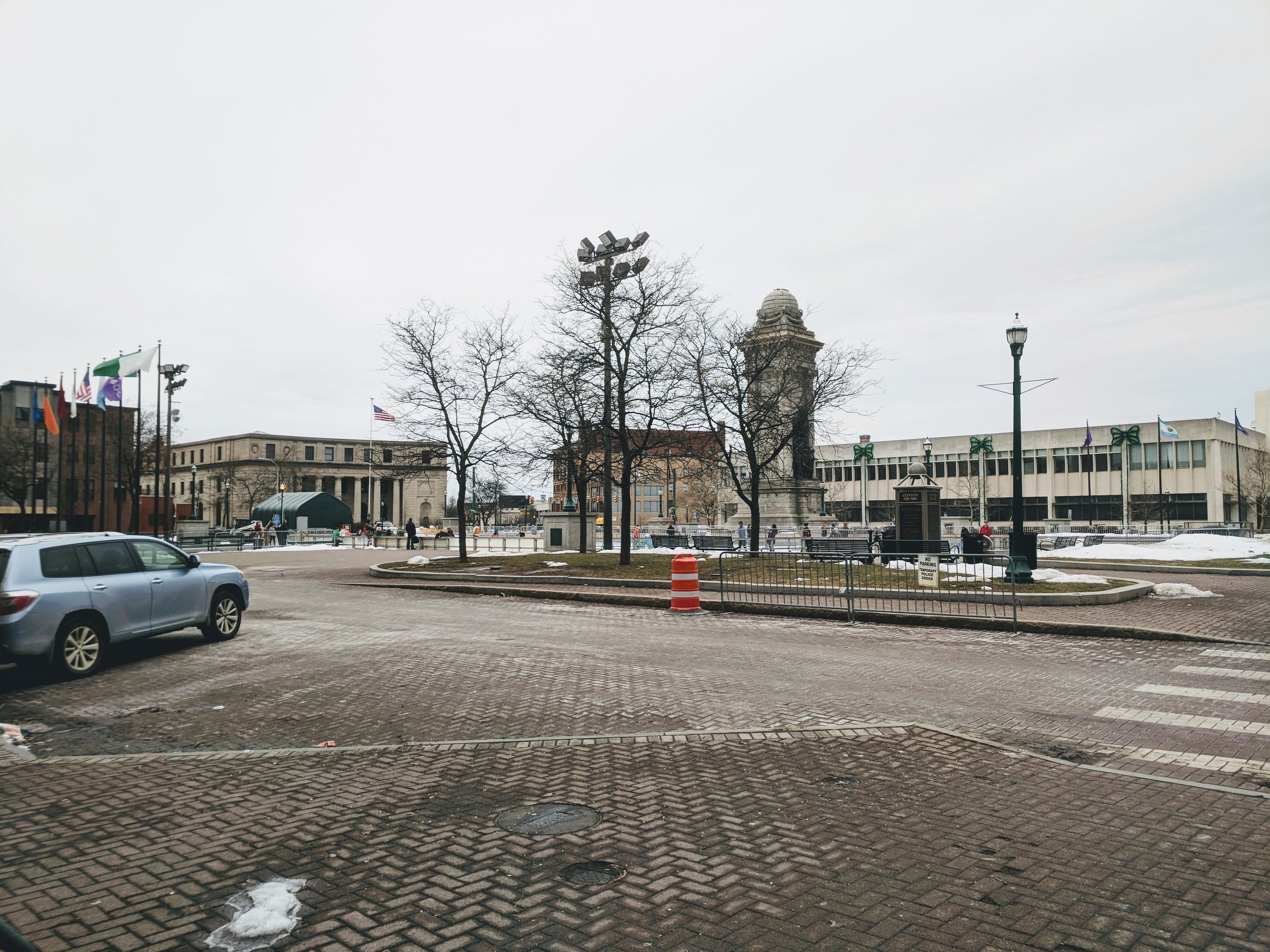
As with all walks in this series, we begin in Clinton Square. As I wrote years ago, Clinton Square, in its current form, does not provide the feeling of a human scale space. The Square’s wide open layout leaves people without good spaces to cluster. The short buildings along three of the four edges adds to this effect. Historically, the Square was surrounded by a dense wall of architecturally ornate buildings, which helped frame the public space and provided visual interest to those wandering by, spending time in the smaller public park, or coming through along the Erie Canal. You can see this vividly in the historic photos above from the Library of Congress compared to more recent photos.
Today, the low slung former home of the Post Standard, now named The Post, and the bland wall of brown brick that is the Atrium, offer poor substitutes.While the buildings themselves do little to enliven the walk around the Square, the renovation of the Post has led to new investments in sidewalks and street trees which do make the walk more pleasant, if not more interesting.
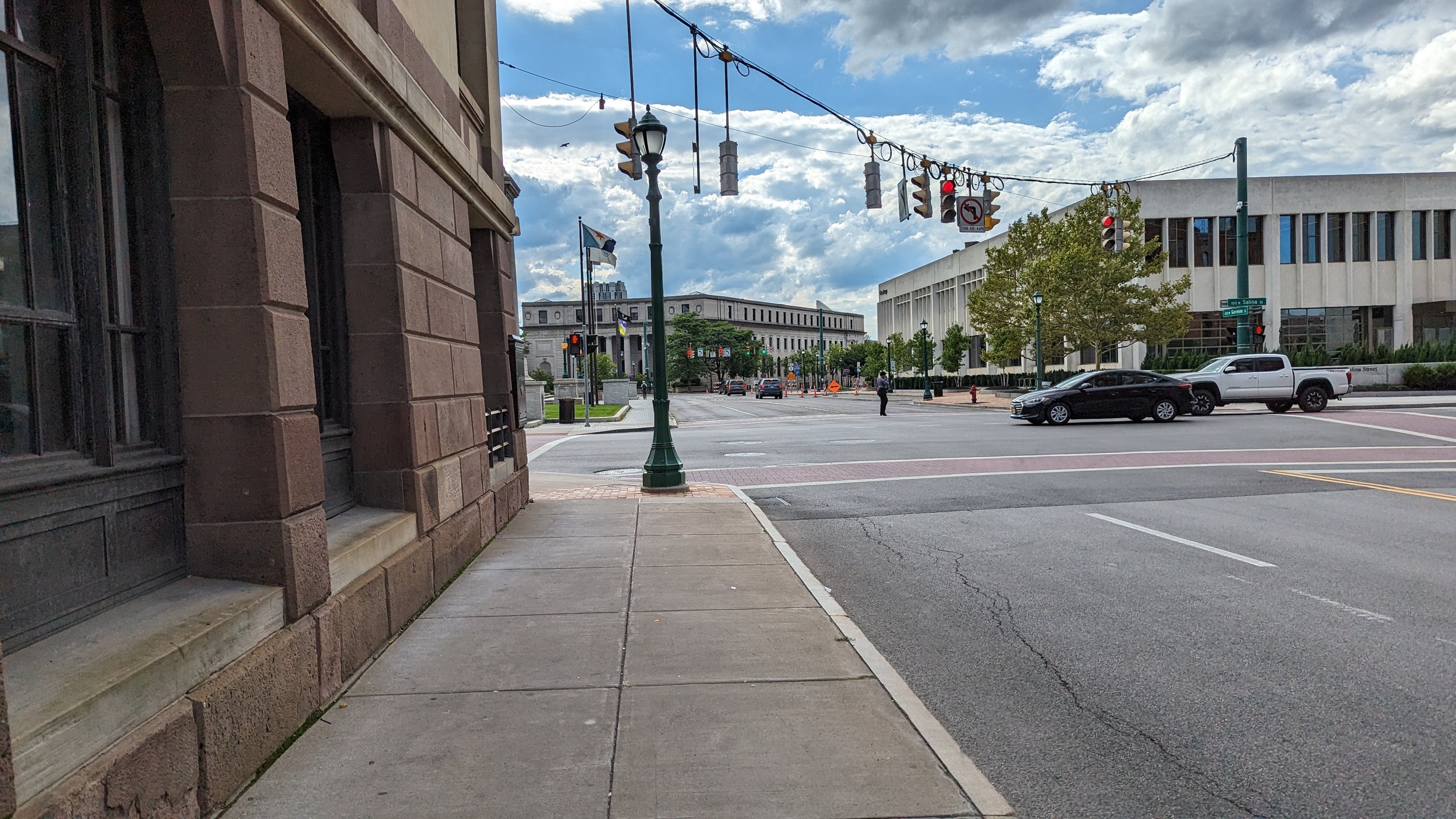
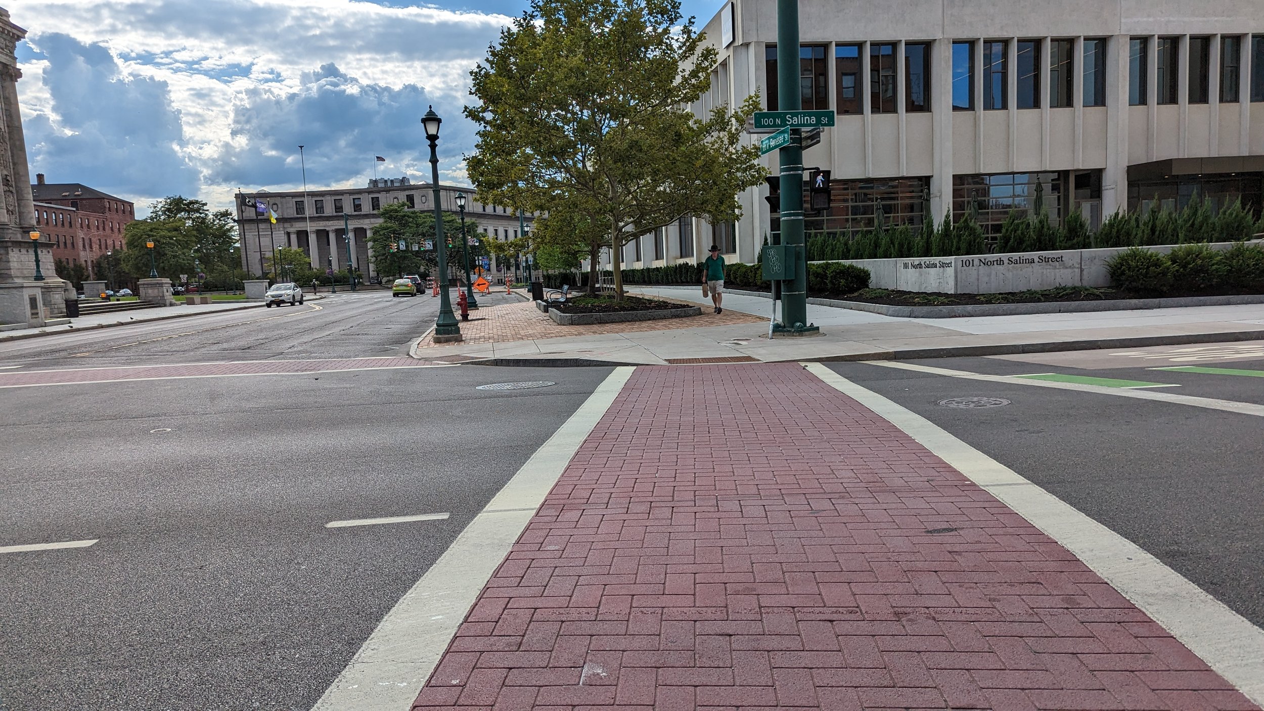
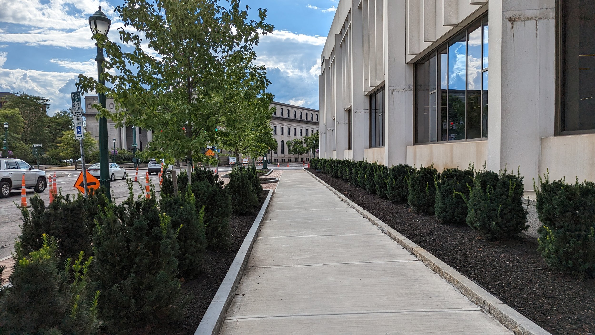
As you walk through along the Square towards Erie Blvd W, you pass by the old Clinton Exchange, a former post office turned headquarters to the mall developer, Pyramid Group. The building opens up beautifully to the Square, but its small plaza is often blocked by parked cars belonging to employees or closed off during festivals to keep the general public at bay. Its a very insular life for a building that began as a vital public building.
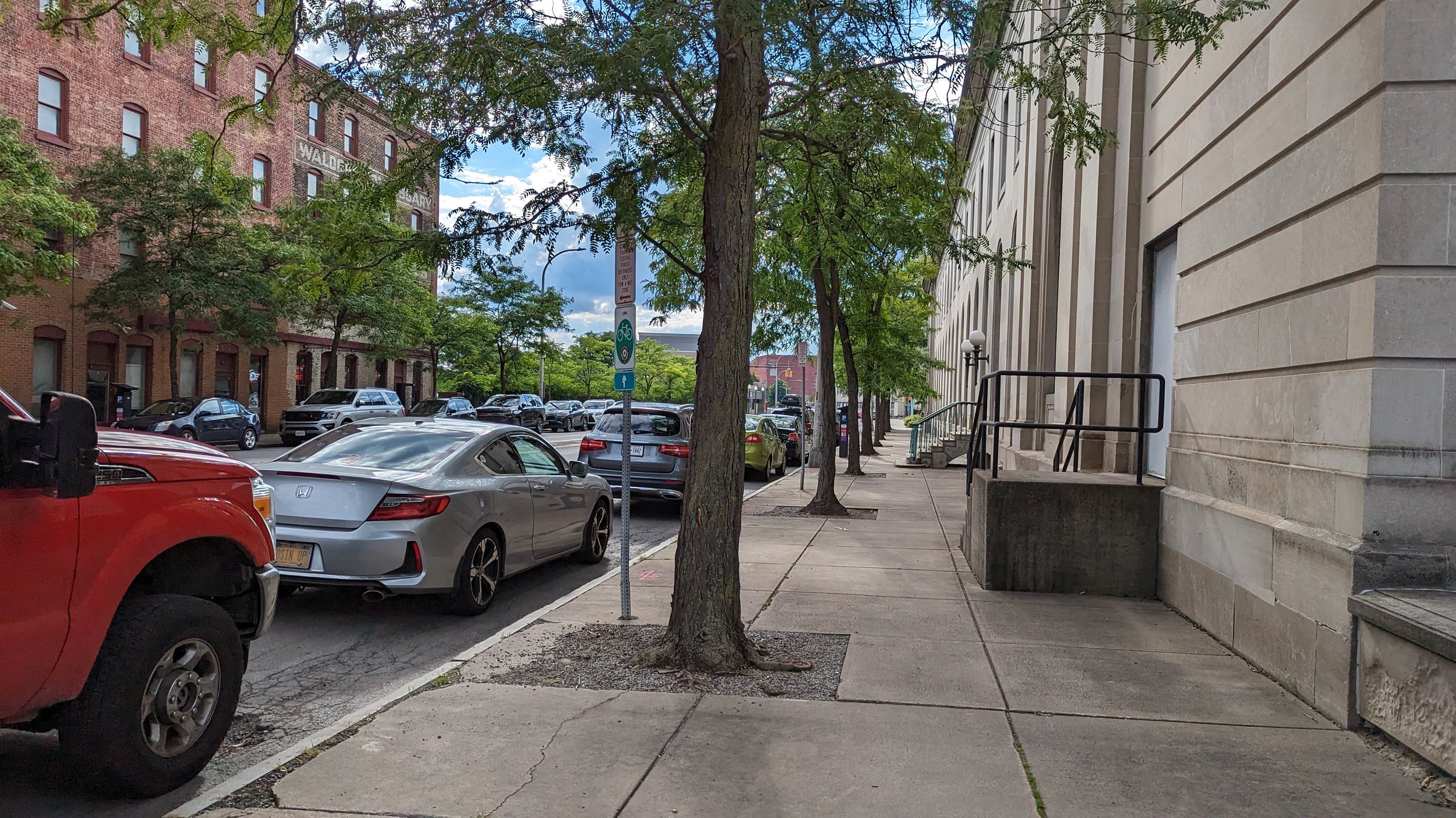
As we reach Erie Blvd W, the architecture of the Erie Canal era is apparent. When the Canal ran through the City, building facades facing the canal were utilitarian at best, while their facades on Water St were ornate and welcoming. Canal barges needed easy access to loading areas, so narrow sidewalks lined by flat, brick finished buildings were the norm. The Amos building is one of the finest examples of this dichotomy. The Clinton Exchange, with its main entrance of Clinton St, also de-emphasizes its facade along Erie Blvd W, with maintenance doors opening up to the street. At the same time, a wider sidewalk, lined with street trees helps to keep the street welcoming and pleasant to be on as you approach possibly the most iconic building in the City of Syracuse.
Past an Art Deco Icon
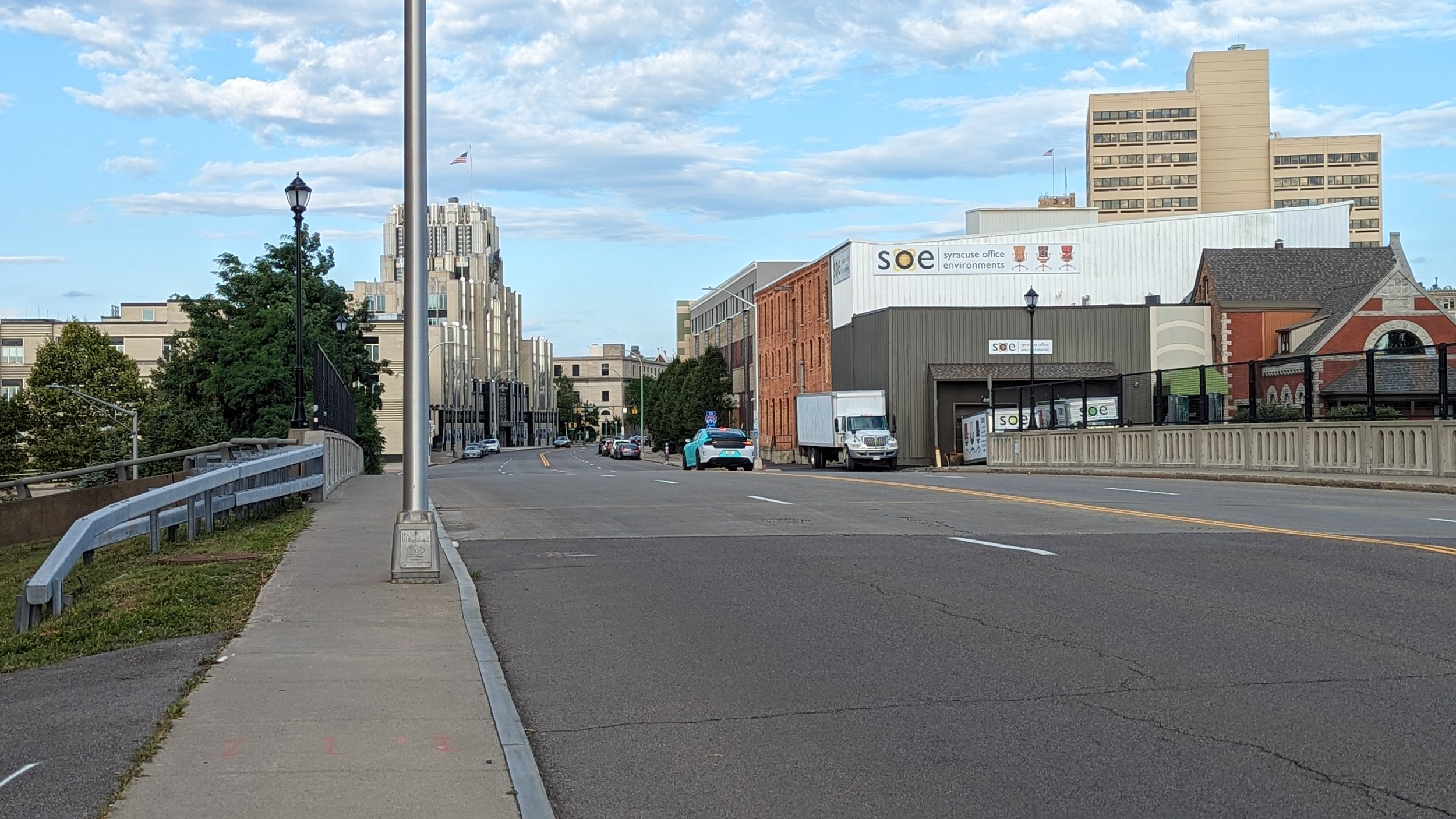
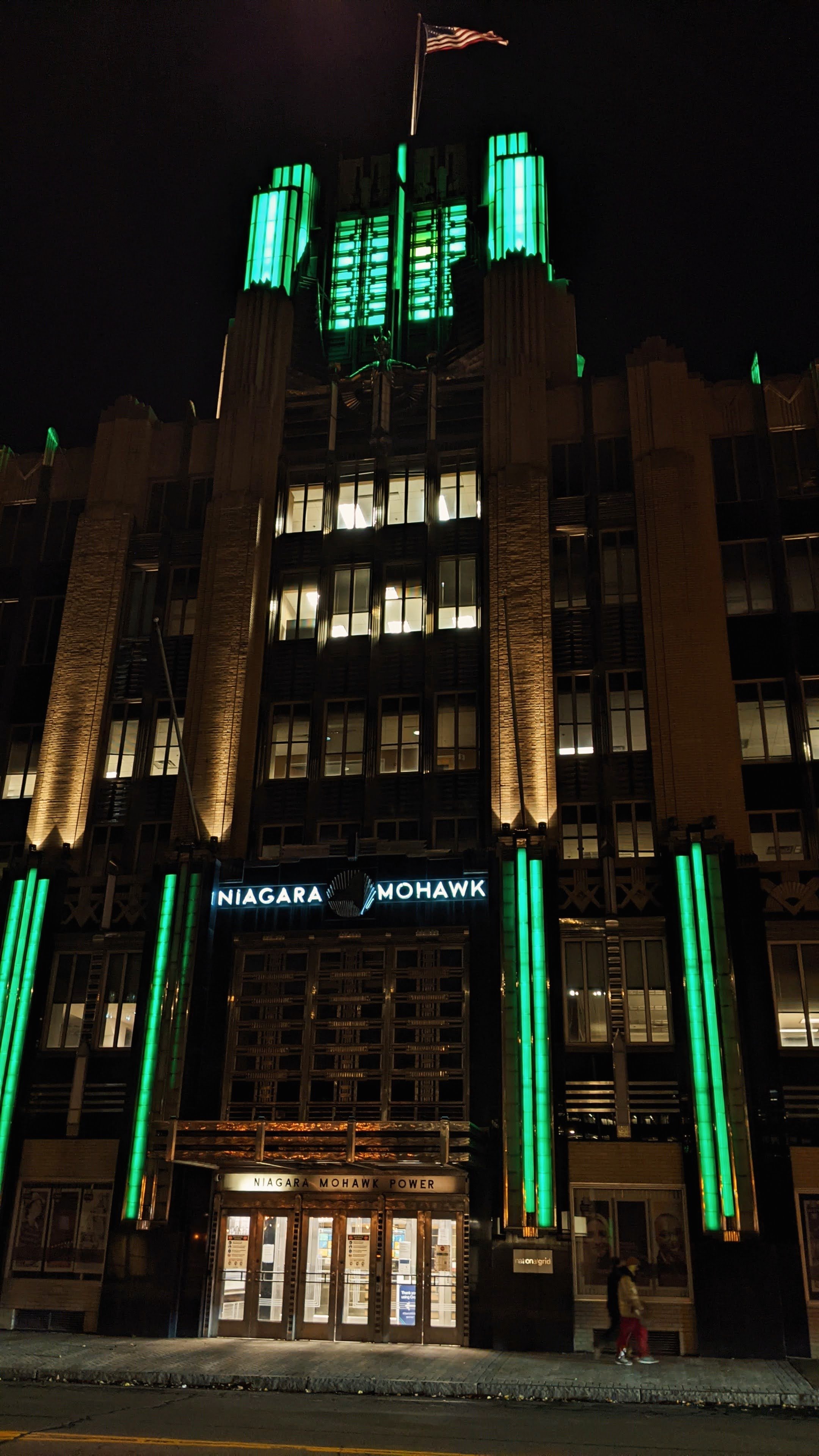
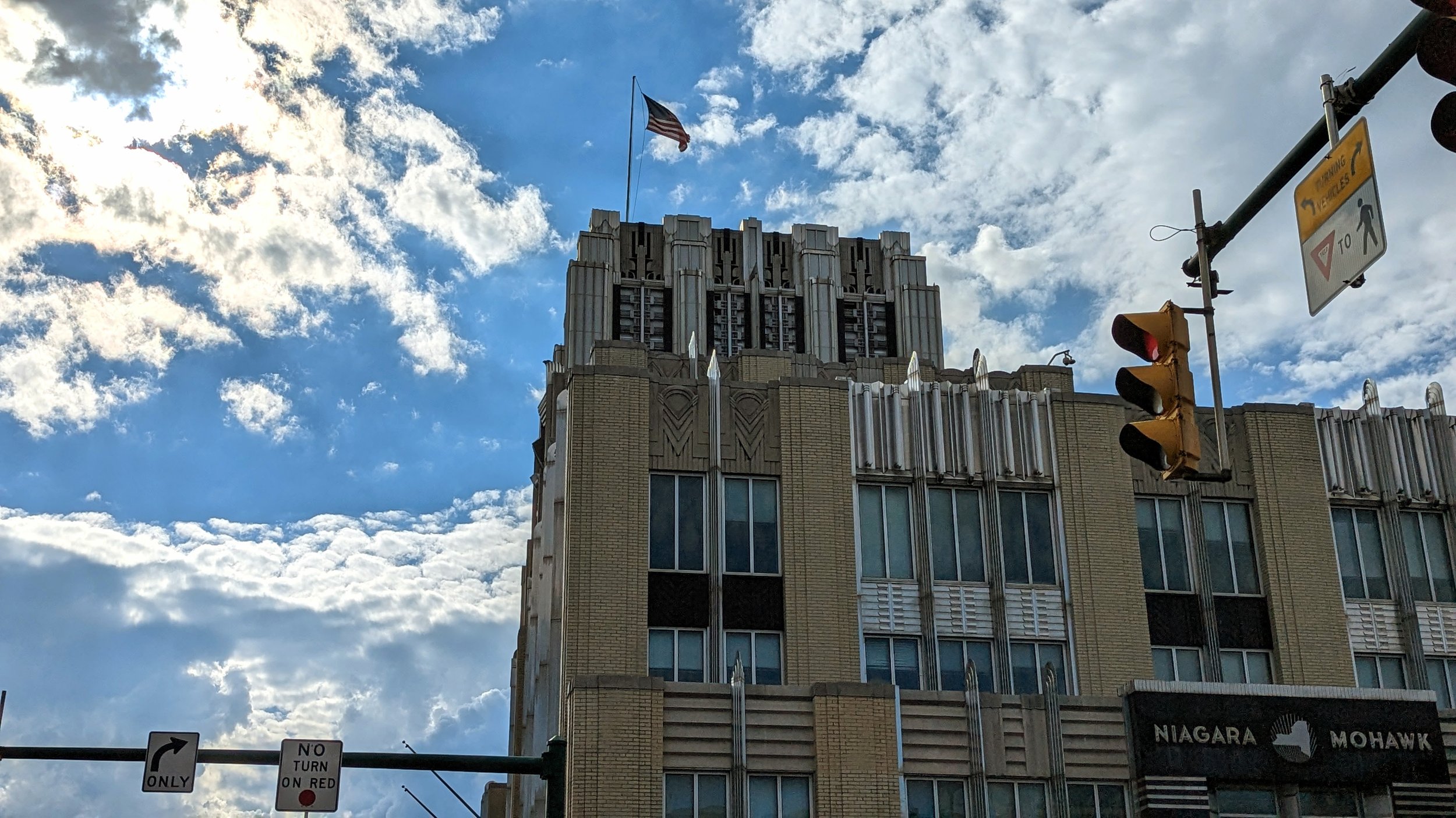
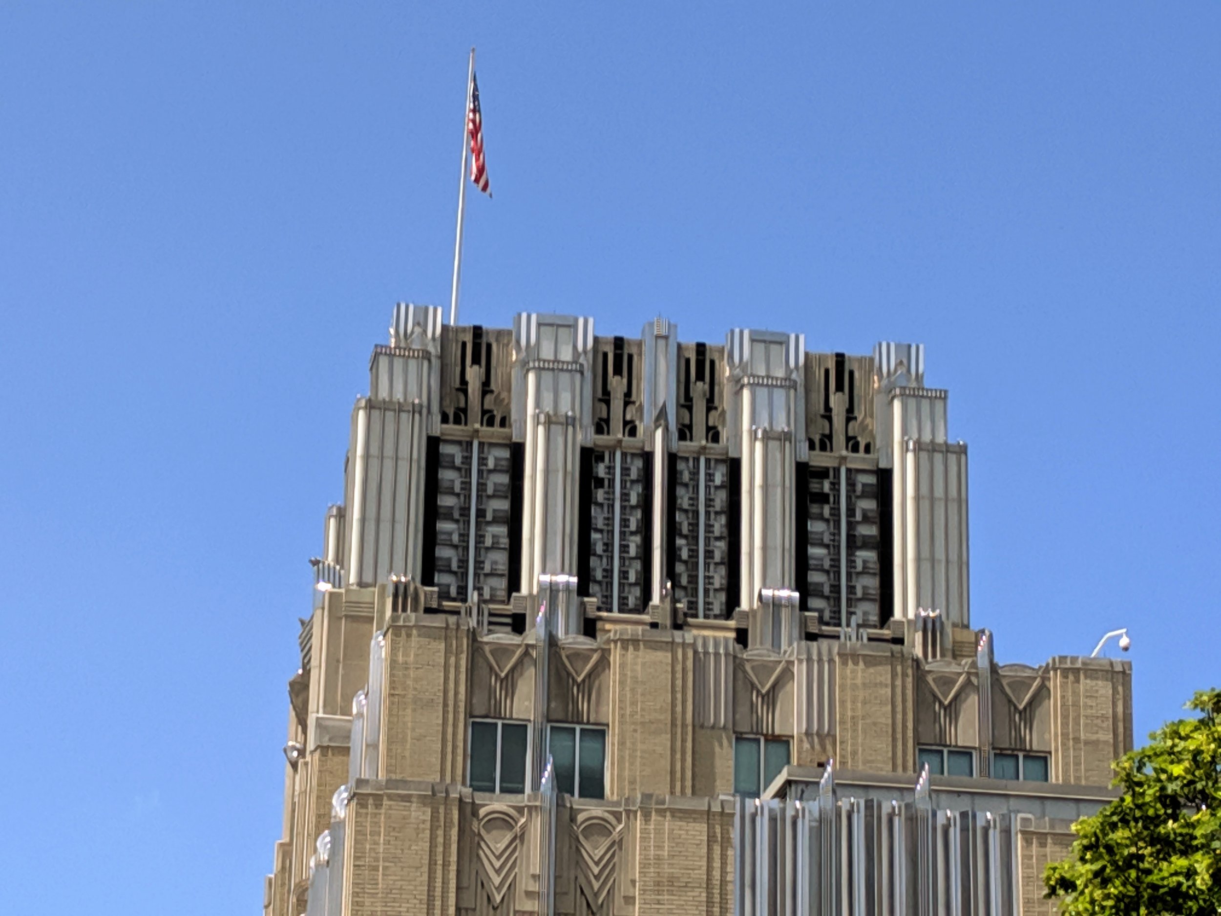
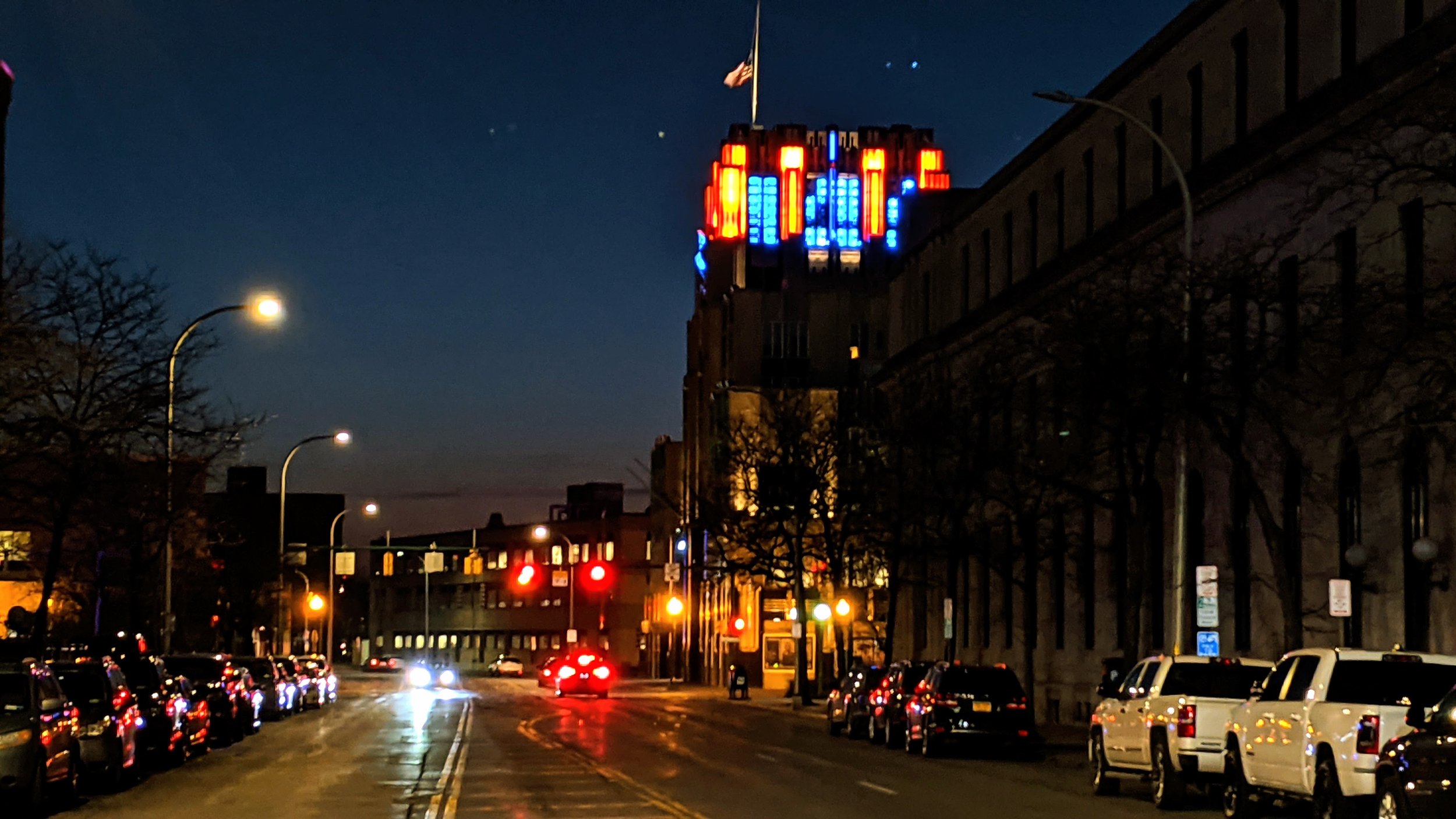
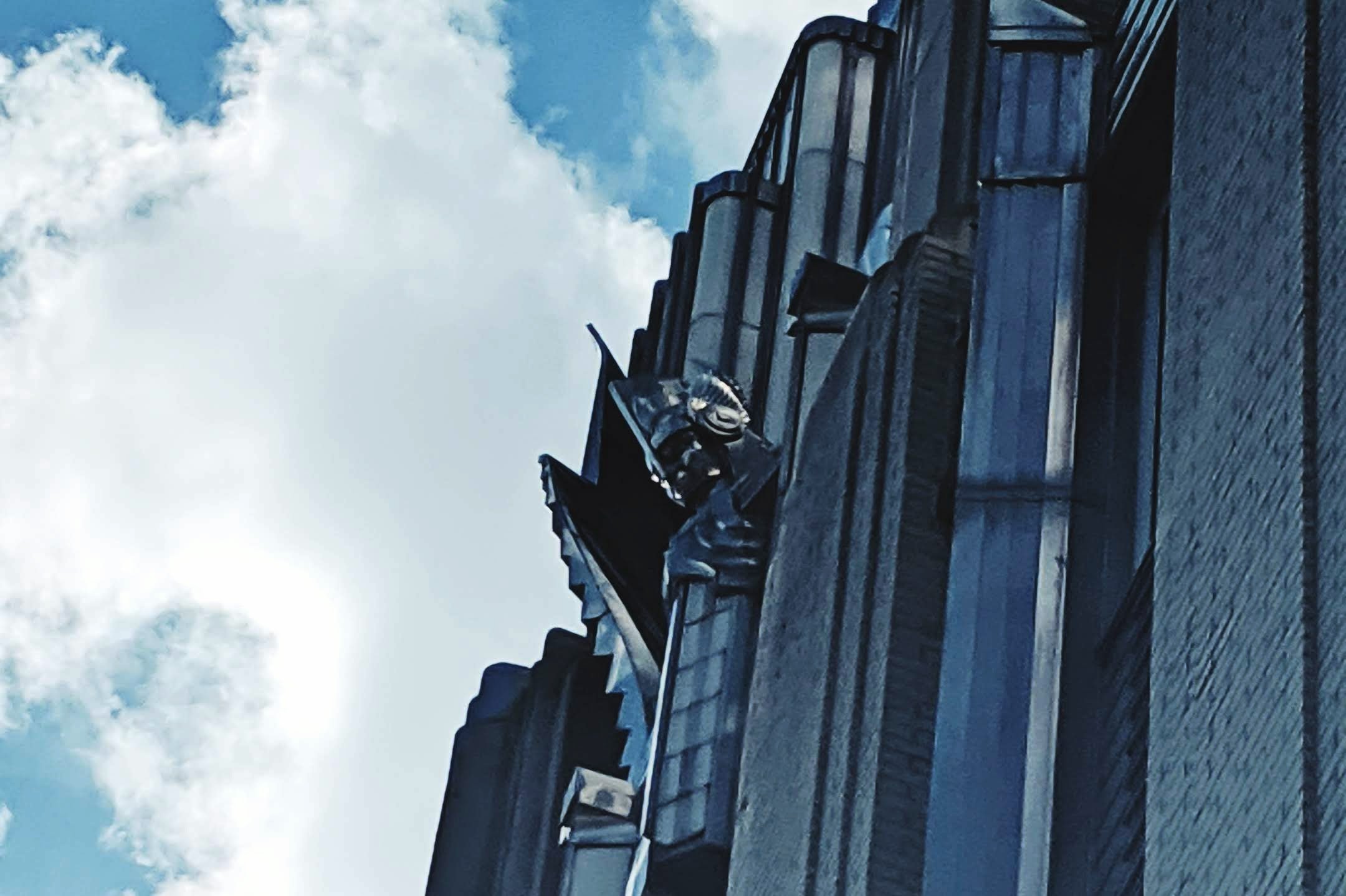
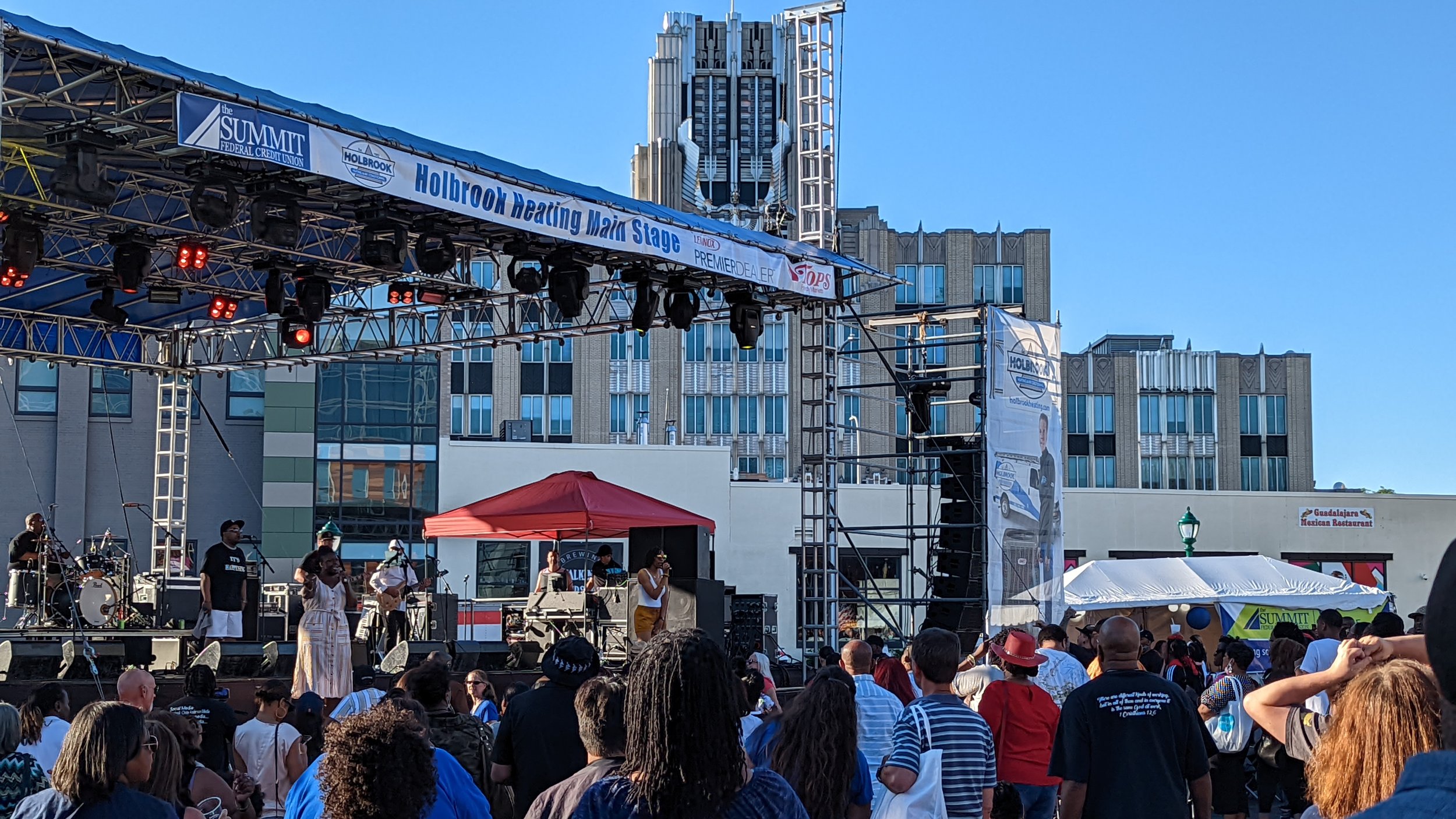
Sitting at the corner of Erie Blvd W and Franklin St, the former Niagara Mohawk (NiMo) headquarters, now the regional headquarters for National Grid, makes its presence known. Chrome and lights cover the structure, making a striking sight no matter what time of day you wander past. The building is often cited as one of the best examples of art deco architecture in the country, often mentioned alongside the likes of the Chrysler Building and Empire State Building. At the same time, its iconic crown is only a small part of the larger building complex. As you pass the main entrance, with its ornate marquee, you are greeted by the bulk of the building - an uninspired tan brick wall with black stripes. The building no longer concerns itself with the street level and instead focuses on efficiency, which leads to a deadened streetwall.
NiMo’s neighbor to the south offers little help. While the corner at Erie Blvd W and Franklin St is activated by a Cafe Kubal, Guadalajara Mexican cantina, and Talking Cursive Brewing Company, the bulk of the building, known as Creekwalk Commons, does little to address the street. The building’s design in some ways mimics the back end of the NiMo building, with stripes of alternating colors (red and tan) and lack of pedestrian oriented design.
When we look at the street as a whole, you get the sense that people should not be walking here. The street, four lanes wide, is lined with cobra style street lights, more common place on highways and major arterials in suburban areas. Minimal street trees are present along the block and the ones that do exist are evergreens pushed right up against Creekwalk commons. These trees provide minimal shade to people as they walk and offer zero protection from vehicles, both visual protection and physical, as true street trees help to visually narrow the roadway and slow drivers down.
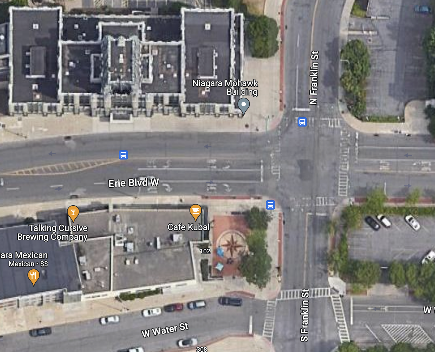
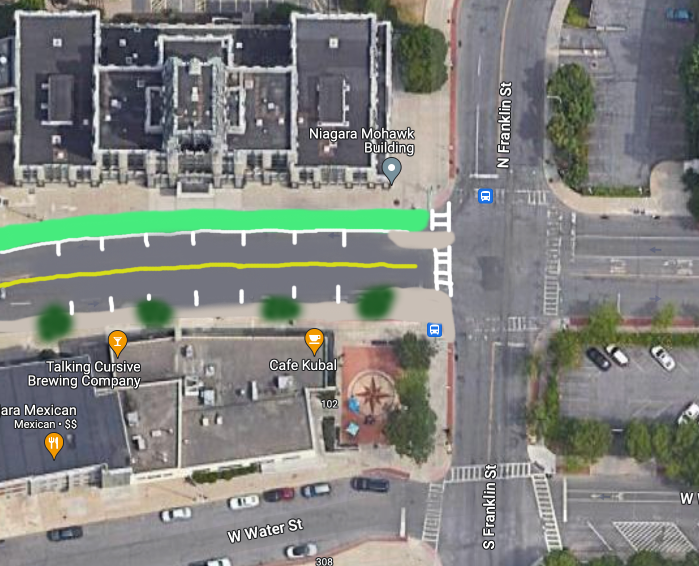
The built environment along this corridor is screaming that it's meant for cars, but there is room for improvement if we’re willing to chip away at the space dedicated to cars.
First thing’s first, we need proper street trees. While the existing sidewalks are already wide, there is plenty of space to widen them further and provide ample room for street trees and benches. Additional road space should be given over to people on bikes. While Erie Blvd E is home to the Empire State Trail, there is no equivalent facility connecting the west side of the City. A protected, two-way cycle track would help bring cyclists from west side neighborhoods into Downtown and connect them to the regional trail network. This would leave space for one travel lane in each direction for vehicles, along with on-street parking.
West St
Just past the NiMo building and Creekwalk Commons you reach the bridge across West St. As discussed in The Walk: To Tipperary Hill, West St acts as a mini highway through the heart of the City, creating an unpleasant barrier to cross. While Erie Blvd W does not directly intersect with West St, it is home to two on-ramps and an off-ramp. As with most on- and off-ramps, cars looking to use them are often only on the lookout for other cars, with all other people on the street entering their mental blindspot.
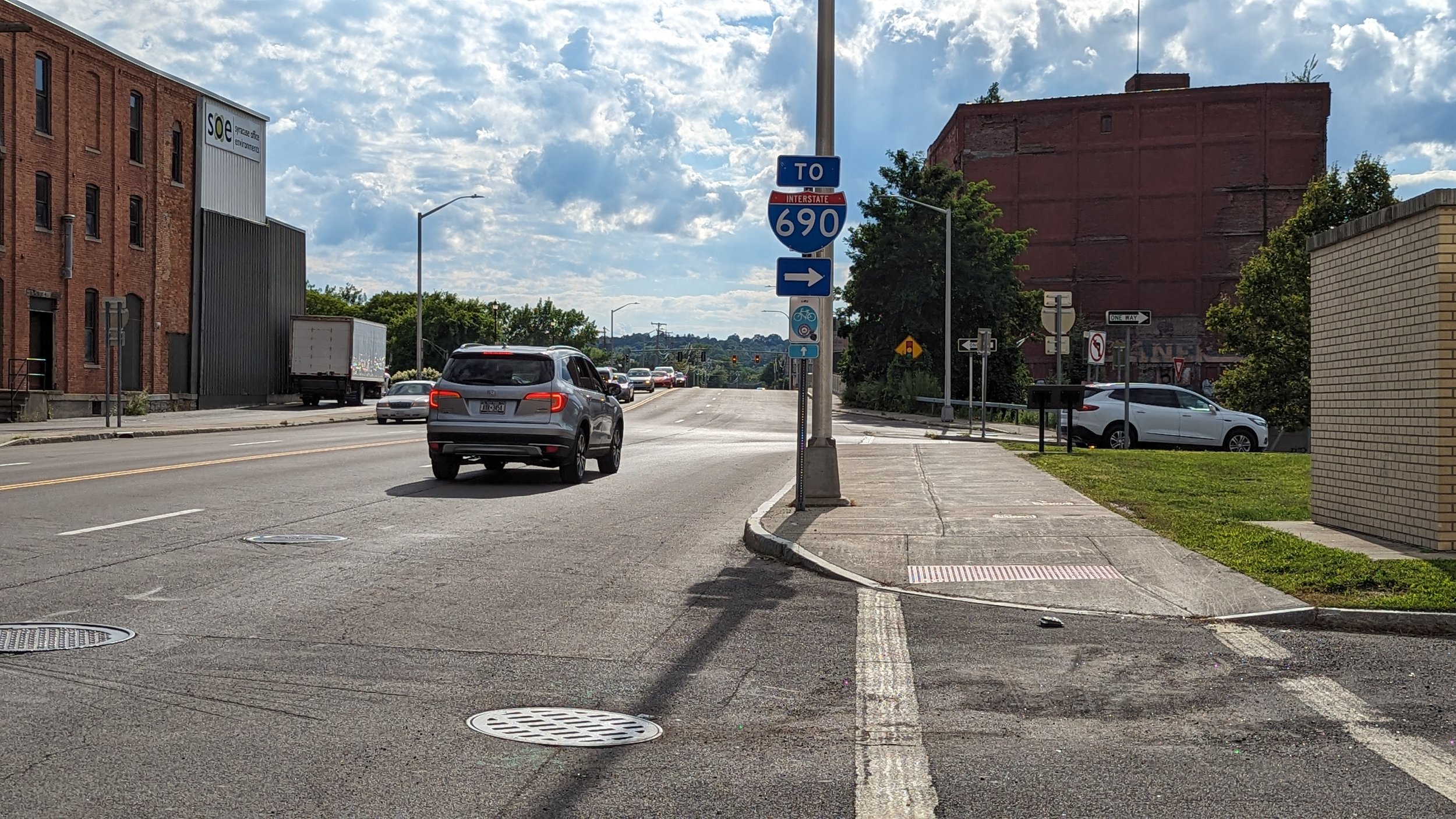
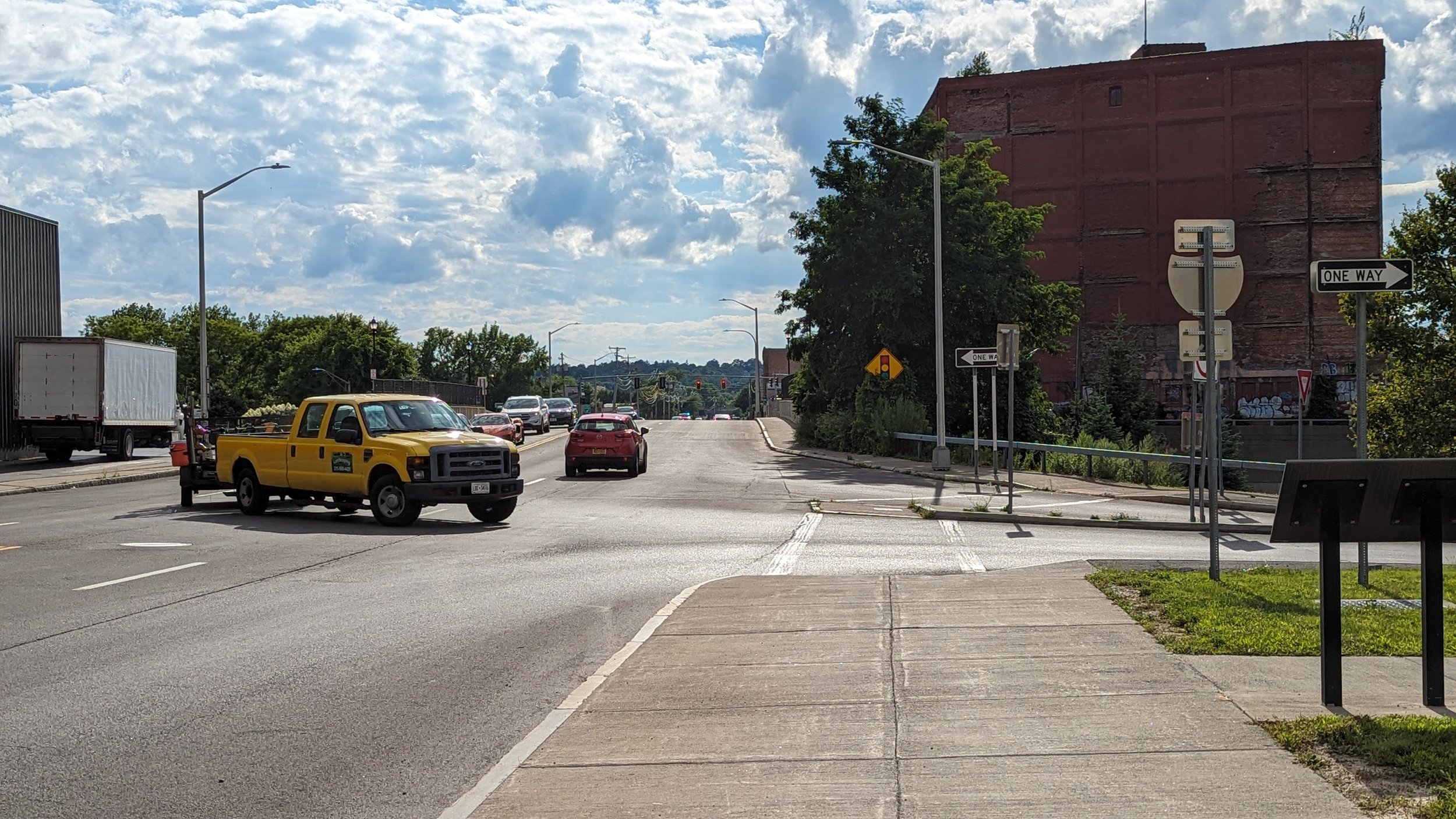
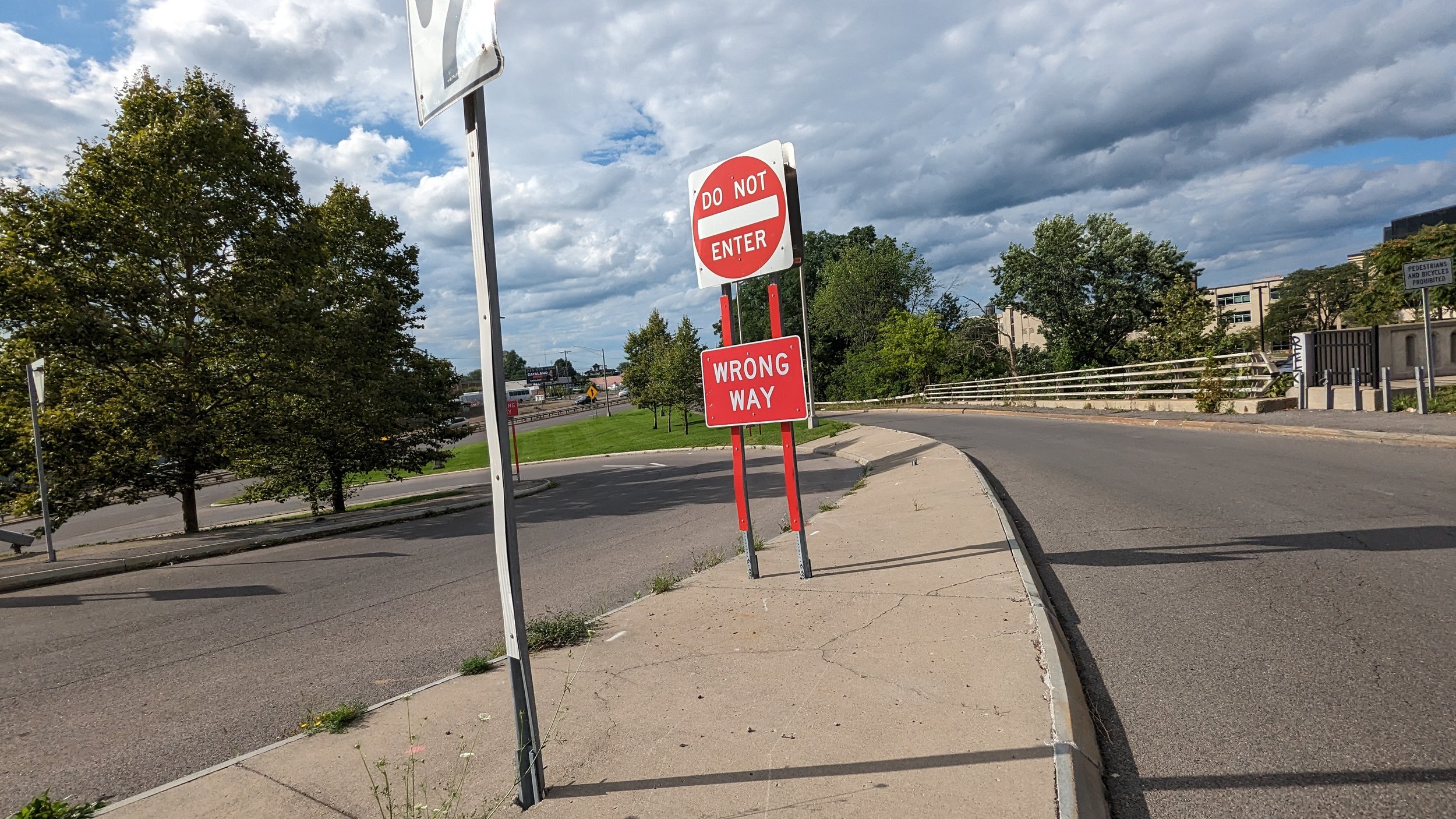
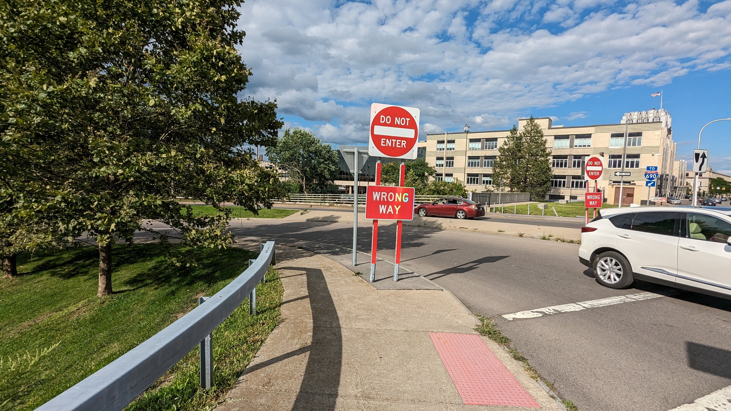
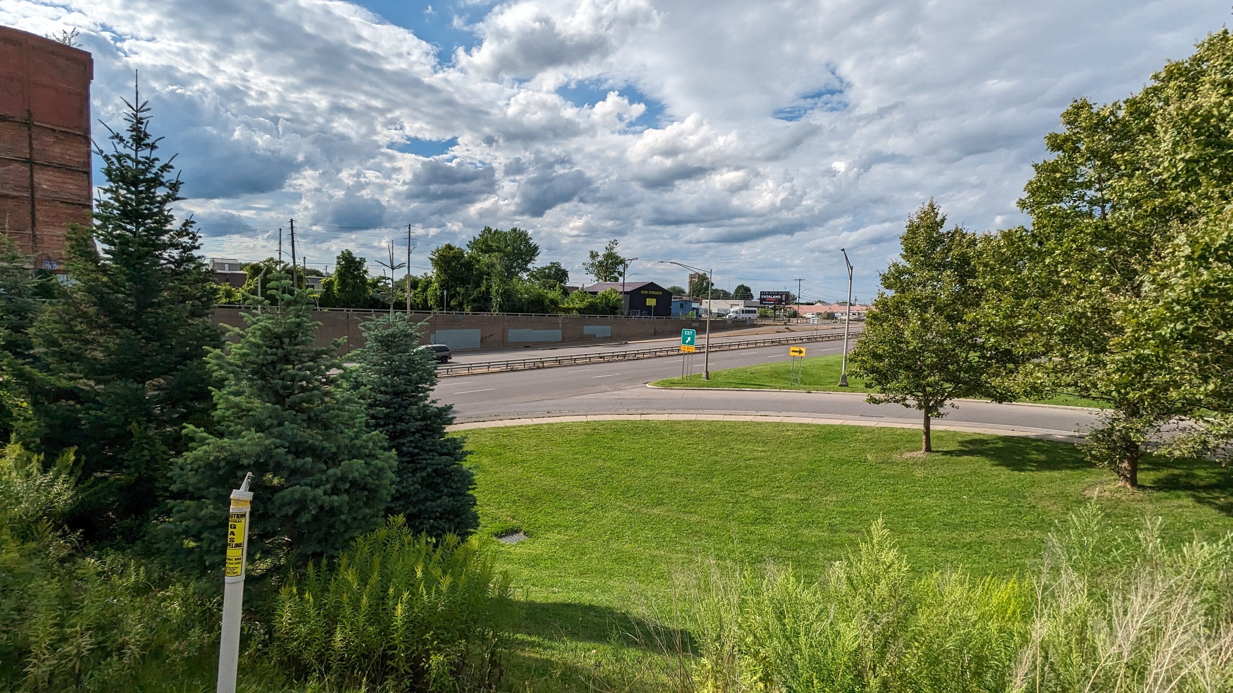
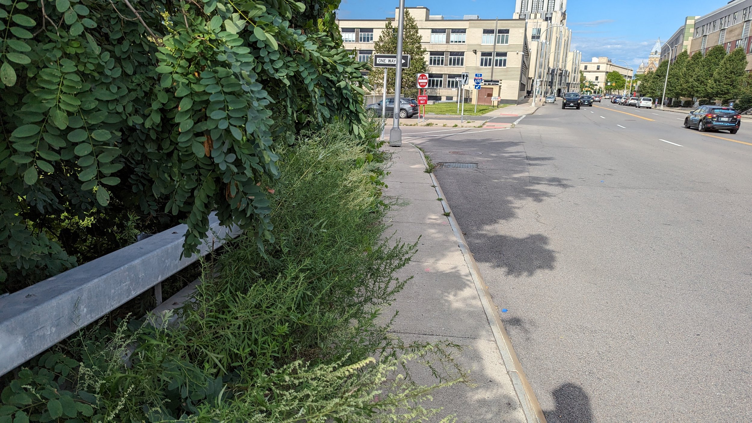
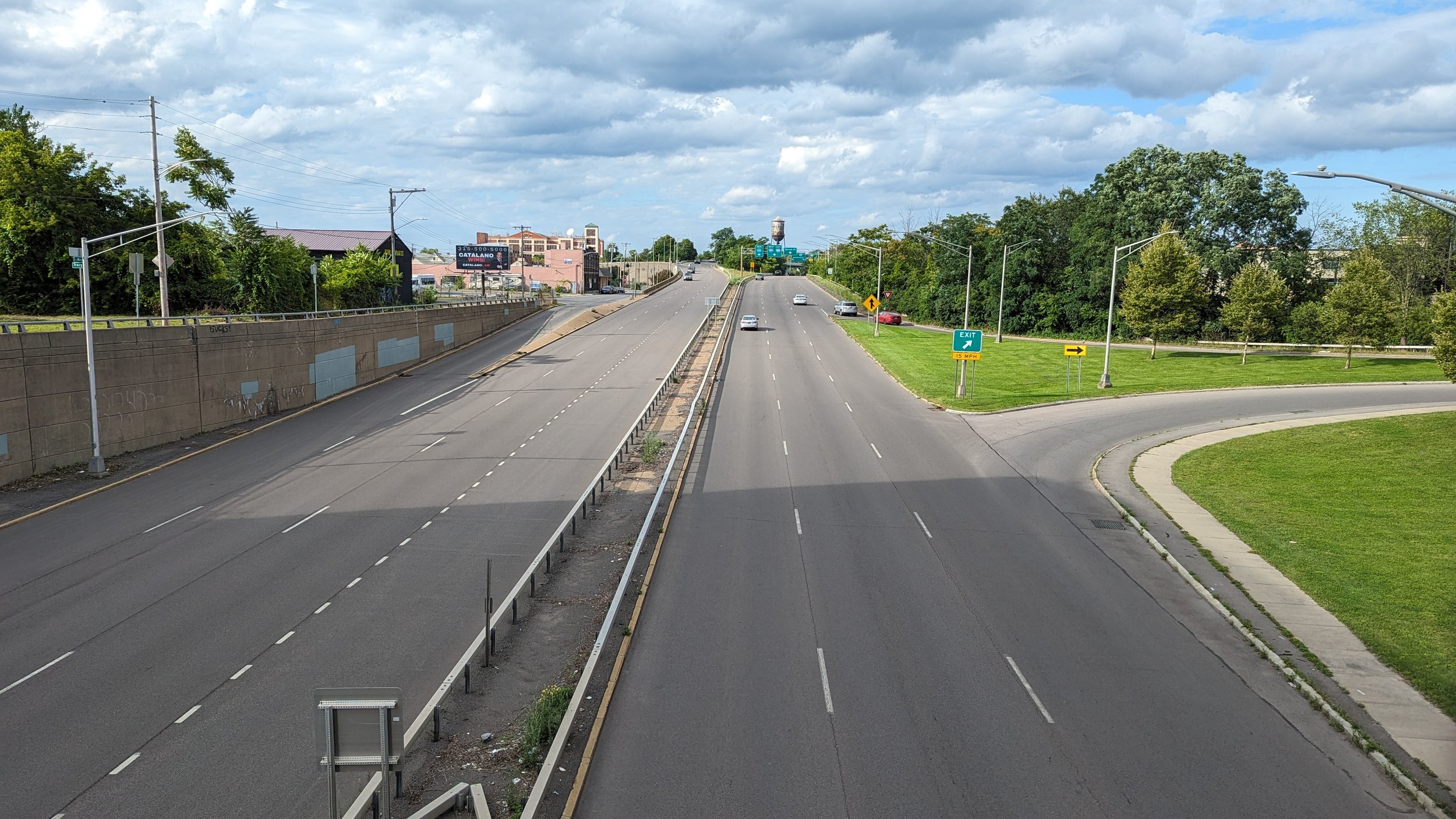
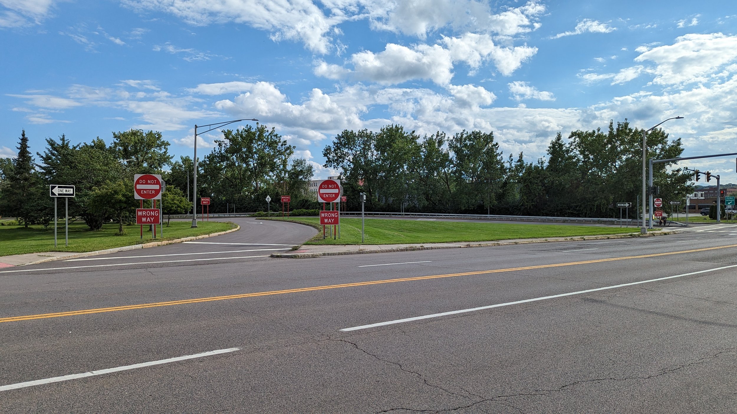
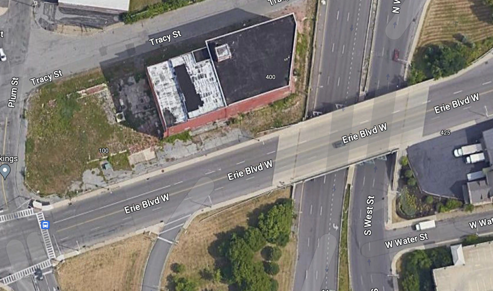
The I-81 - Community Grid plan leaves this interchange largely unchanged, as West St will continue to run beneath Erie Blvd. Narrowing the roadway and providing additional, protected spaces for other road users would help improve a person’s ability to safely cross these on-ramps, but the bridge, with its overgrown brush in spots, will always make the Park Ave neighborhood feel separate from Downtown. Widening the sidewalks and adding pedestrian scale, ornamental lighting would go a long way to make the space more comfortable for people on foot, but the view of West St will never have the same feeling as crossing a body of water or green landscape. One way to address this issue is to have a visual anchor on the other side of the bridge to draw you in. Lucky for us, there’s a large vacant building that is ready for replacement.
Vacant and Underused Spaces
A large, red warehouse sits just west of Downtown Syracuse. It has been vacant for as long as I can remember. Vacant buildings of this scale can deaden spaces as they loom over any neighboring buildings. They also present opportunities.
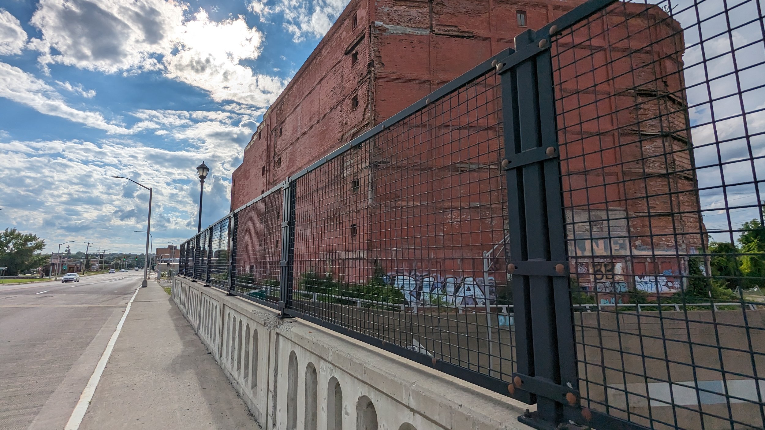
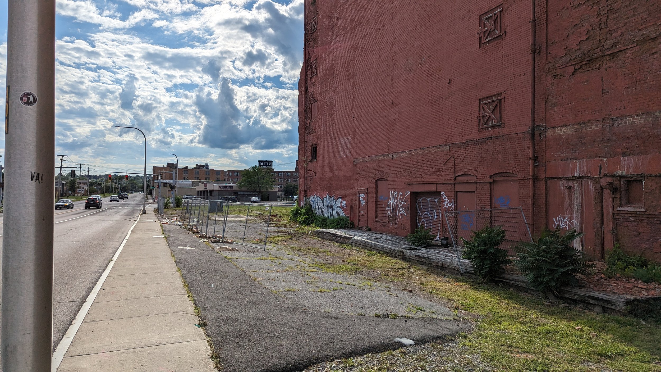
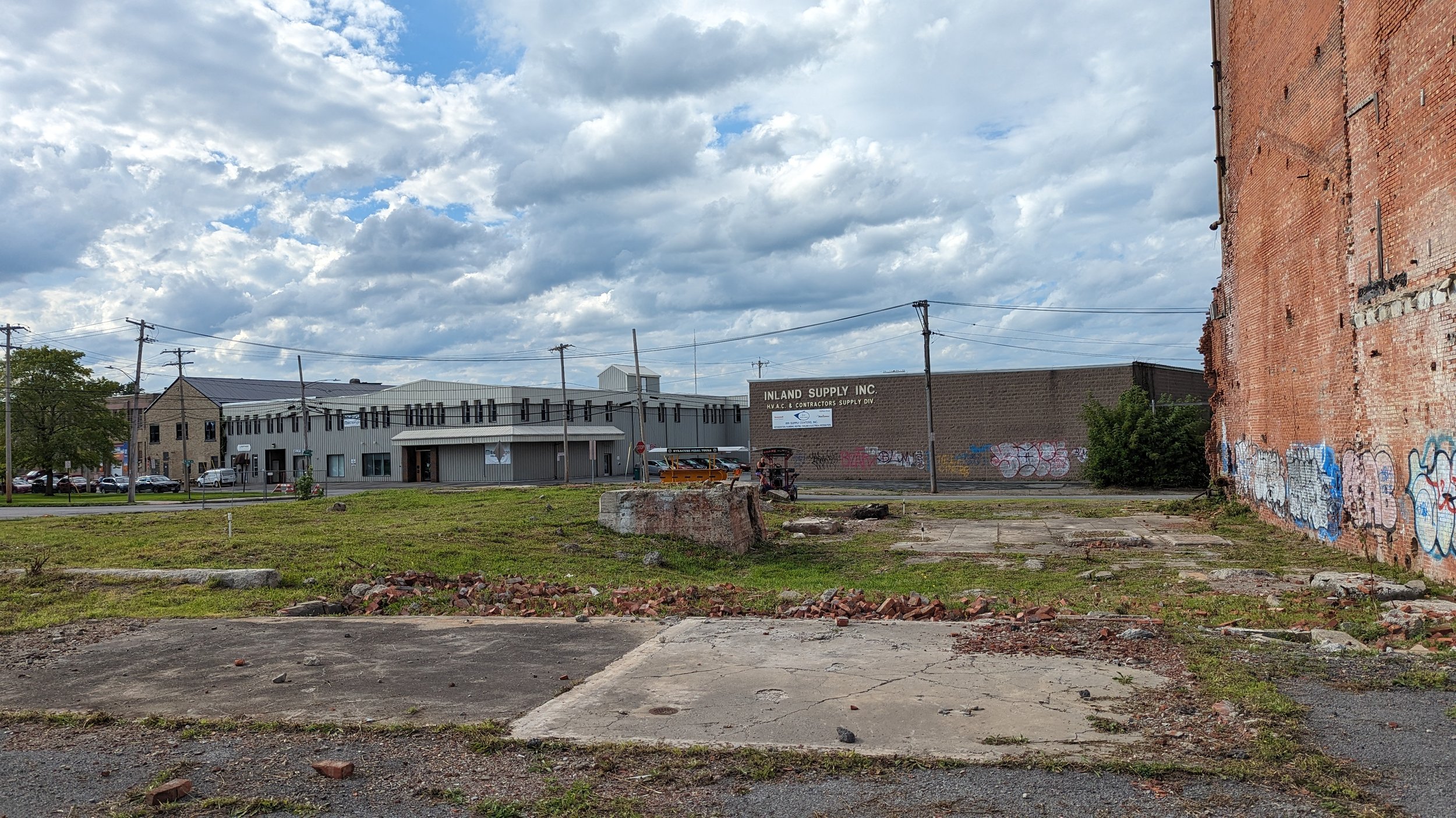
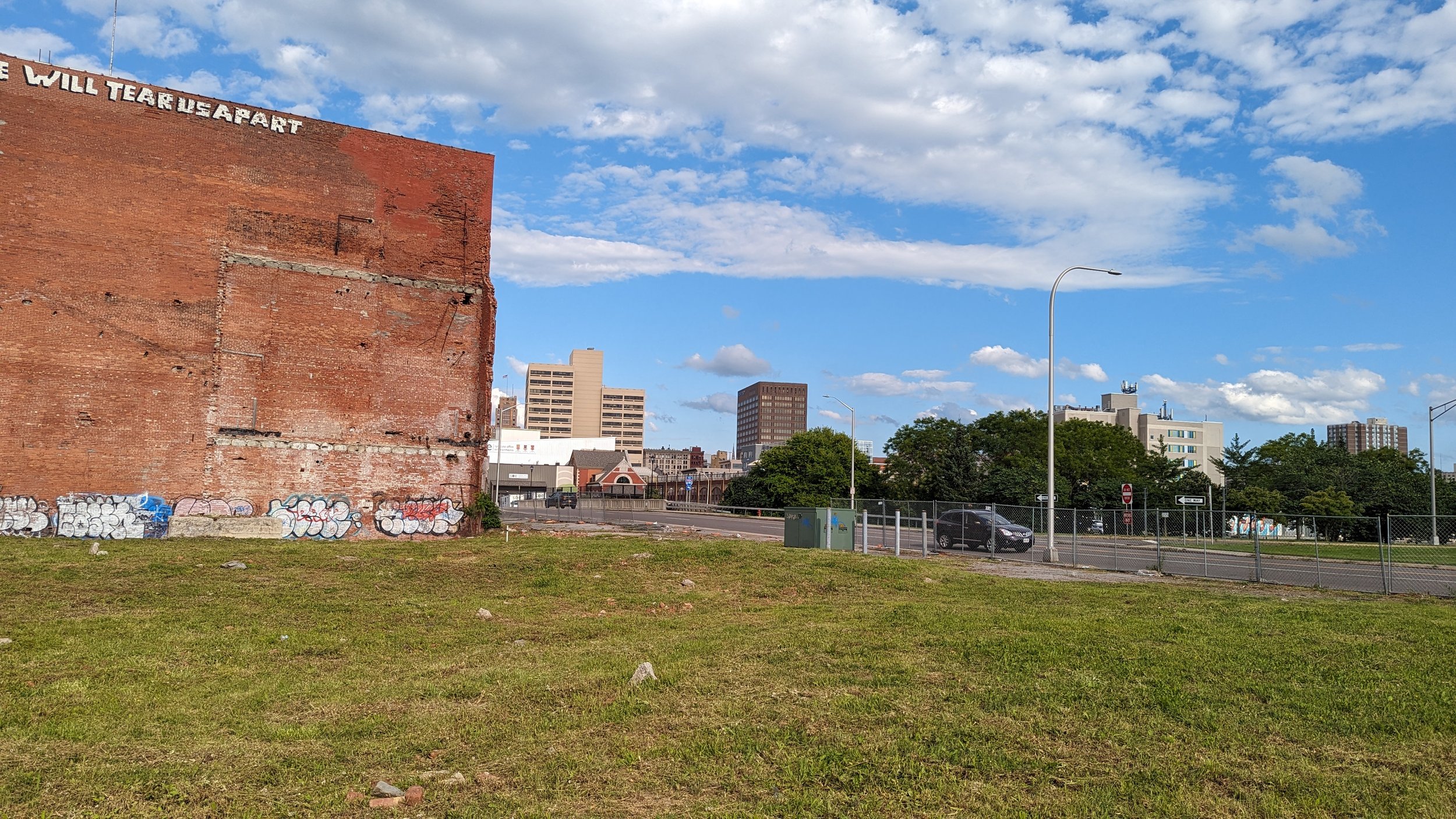
If the building is structurally sound, its redevelopment into a mixed-use building, including a modern expansion into the vacant lot next door, would help visually connect the two neighborhoods while also adding residents within a quick walking distance. The commercial spaces on the first floor could also play off the nearby bars and restaurants in Creekwalk Commons and Middle Ages. One of the reasons Armory Square and Hanover Square are so lively is the concentration of uses. Being able to comfortably and quickly walk between different bars and restaurants invites more people into the neighborhood. Give people options and they will take them.
If the building is not structurally sound, a full teardown may be in order, but the same design considerations should be maintained. Fill the full block, with the building’s facade coming up straight to the street.
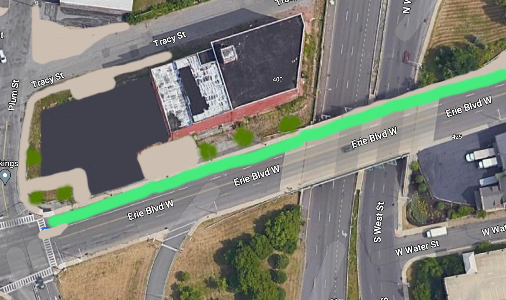
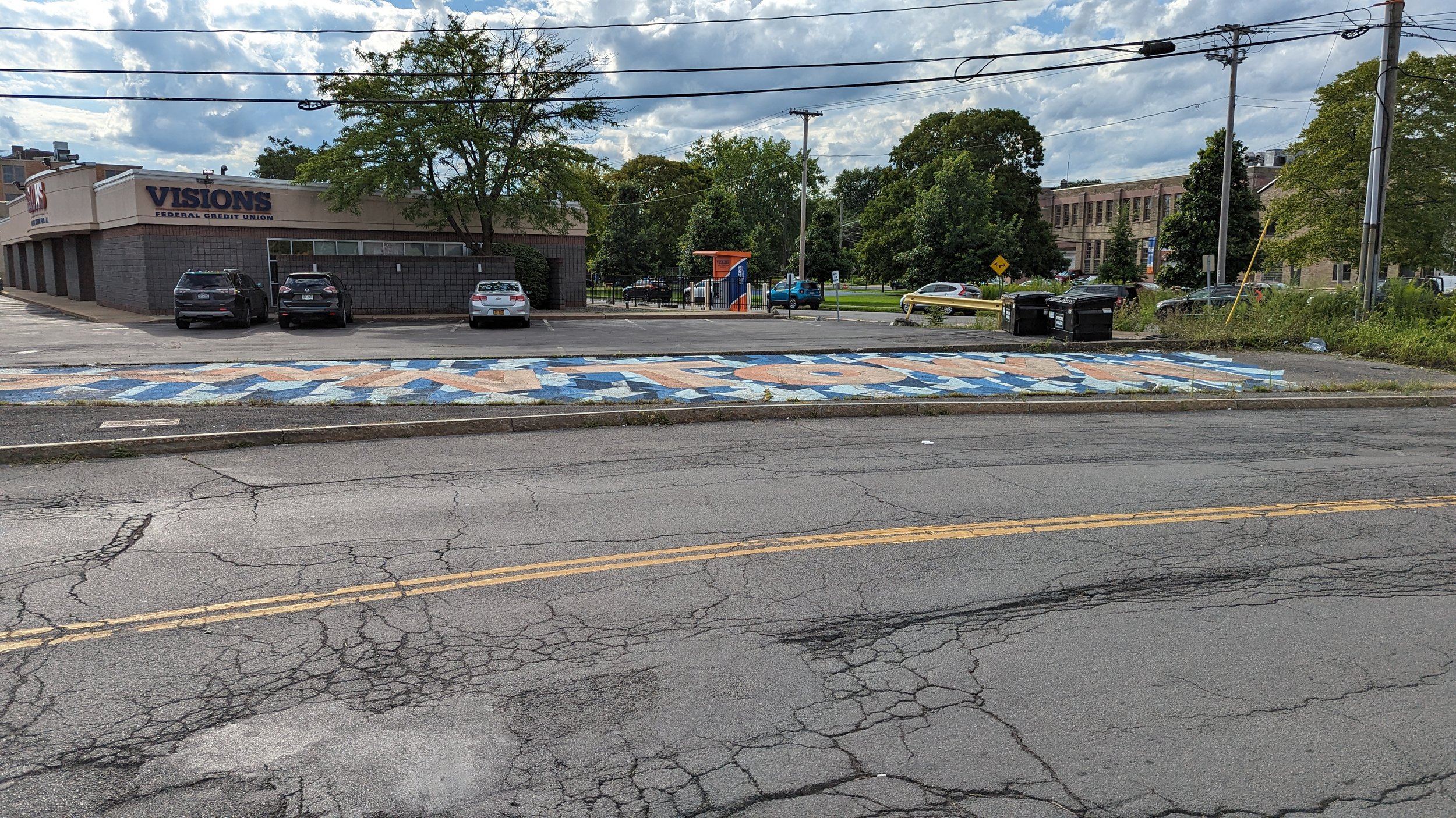
Unfortunately, many of the spaces further west down Erie Blvd W are built in a suburban style, set back from the road with parking prominent out front. While this walk does not take you in this direction, the development of a strong anchor in this location may encourage further redevelopment in a more urban style. 538 Erie and the Dietz Lofts, which both occupy former industrial buildings, already exemplify this type of development. With another larger addition, the neighborhood will continue to approach a critical mass in terms of demand.
The Final Stretch
Once past the vacant land, you experience both good and bad examples of urban design.
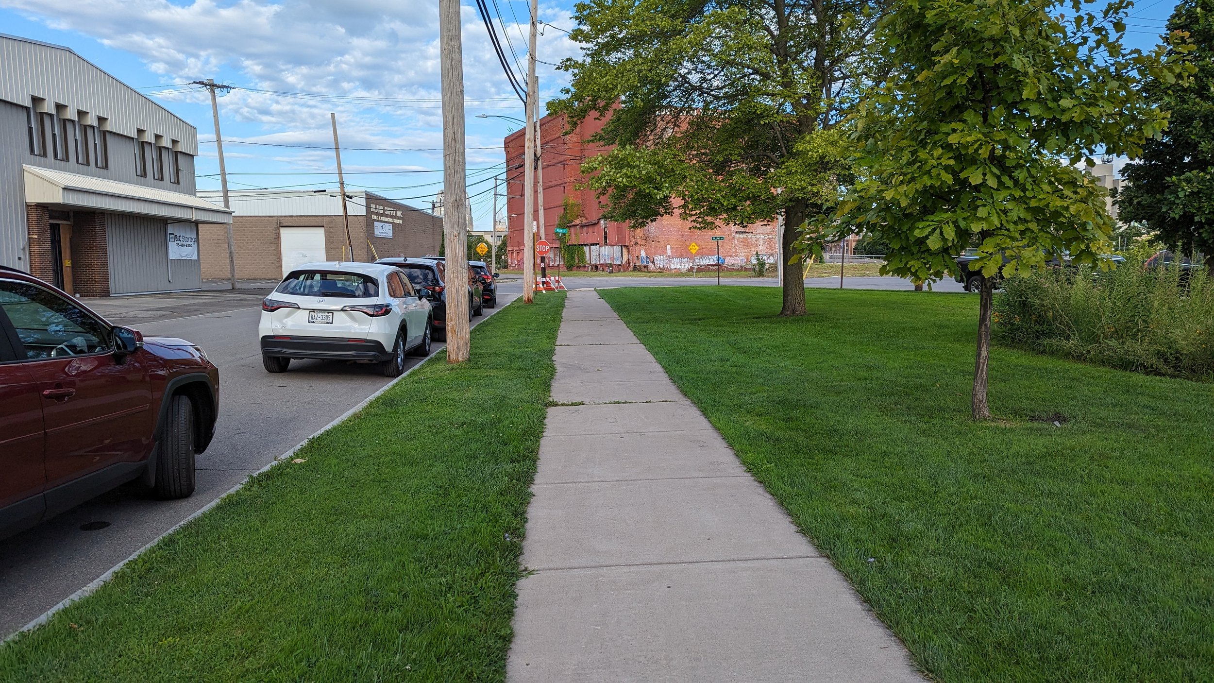
On the positive side, the neighborhood benefits from the use of small, urban parks. Leavenworth Park, which is further west of Middle Ages, is the perfect scale park for our urban neighborhoods, filled with flowers, trees, grassy open spaces, and a playground. Directly in front of Middle Ages, a small extension of the park offers half court basketball and more tree cover. These small parks give people easy access to public green spaces that welcome impromptu interactions between neighbors and visitors alike.
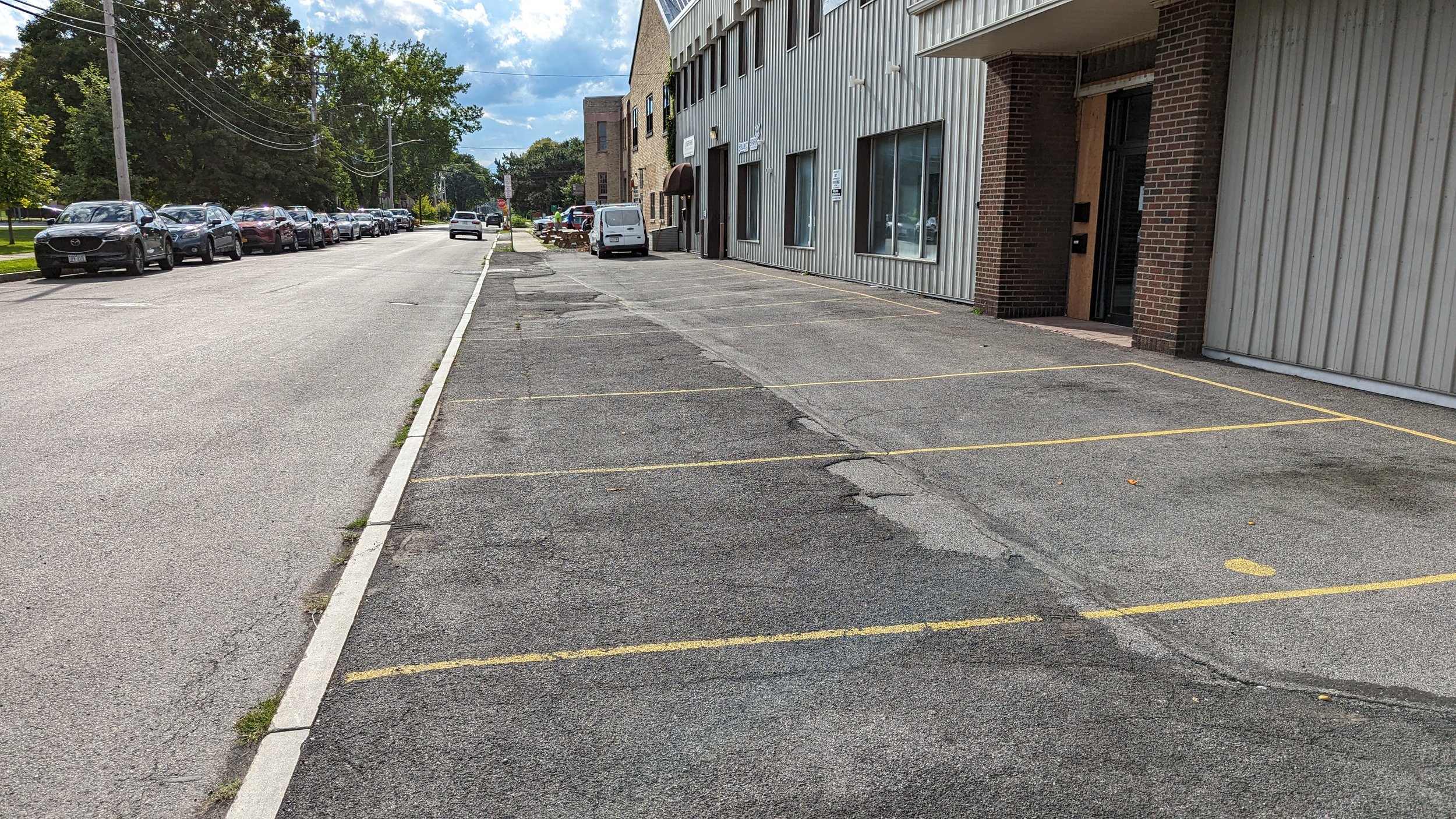
On the negative side, we have a confusing intersection and car storage occupying space ideally set aside for walking.
First the intersection. The Plum St / Tracy Street / Wilkinson St intersection lacks predictability with its wide open lanes and lack of pedestrian infrastructure. Squaring off the eastbound Tracy St approach and forcing drivers to turn right and then left to go down Wilkinson St would help make movements more predictable while also shortening crossing distances.
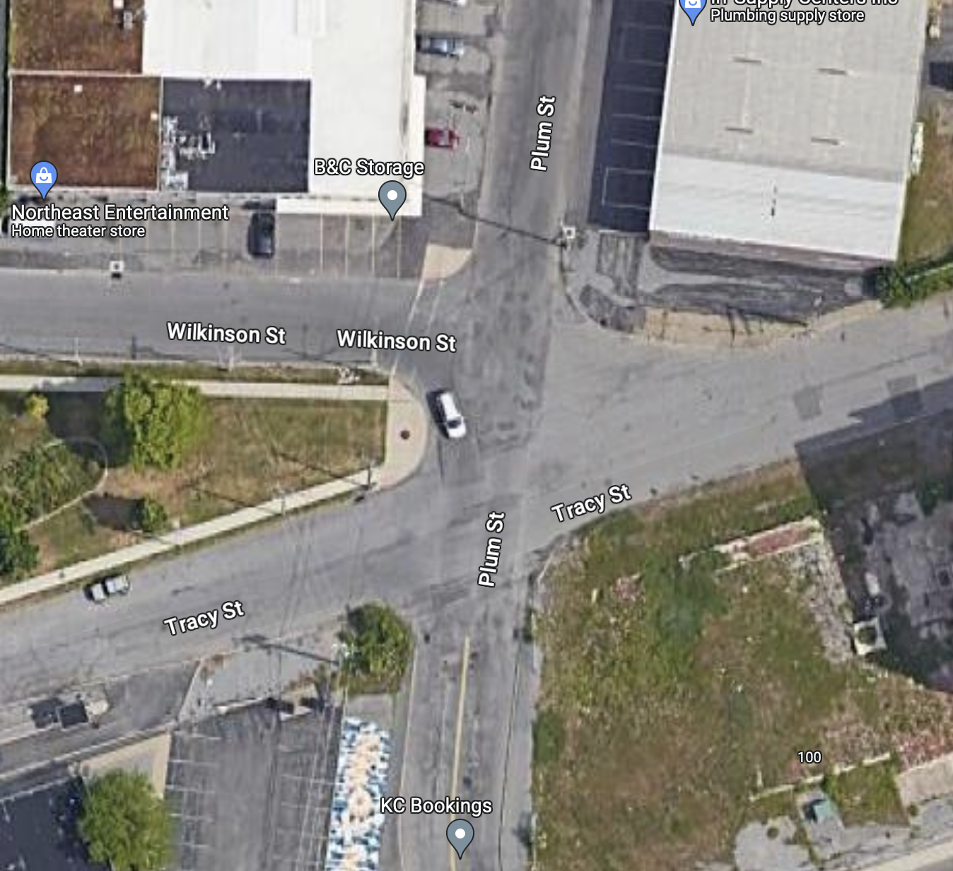
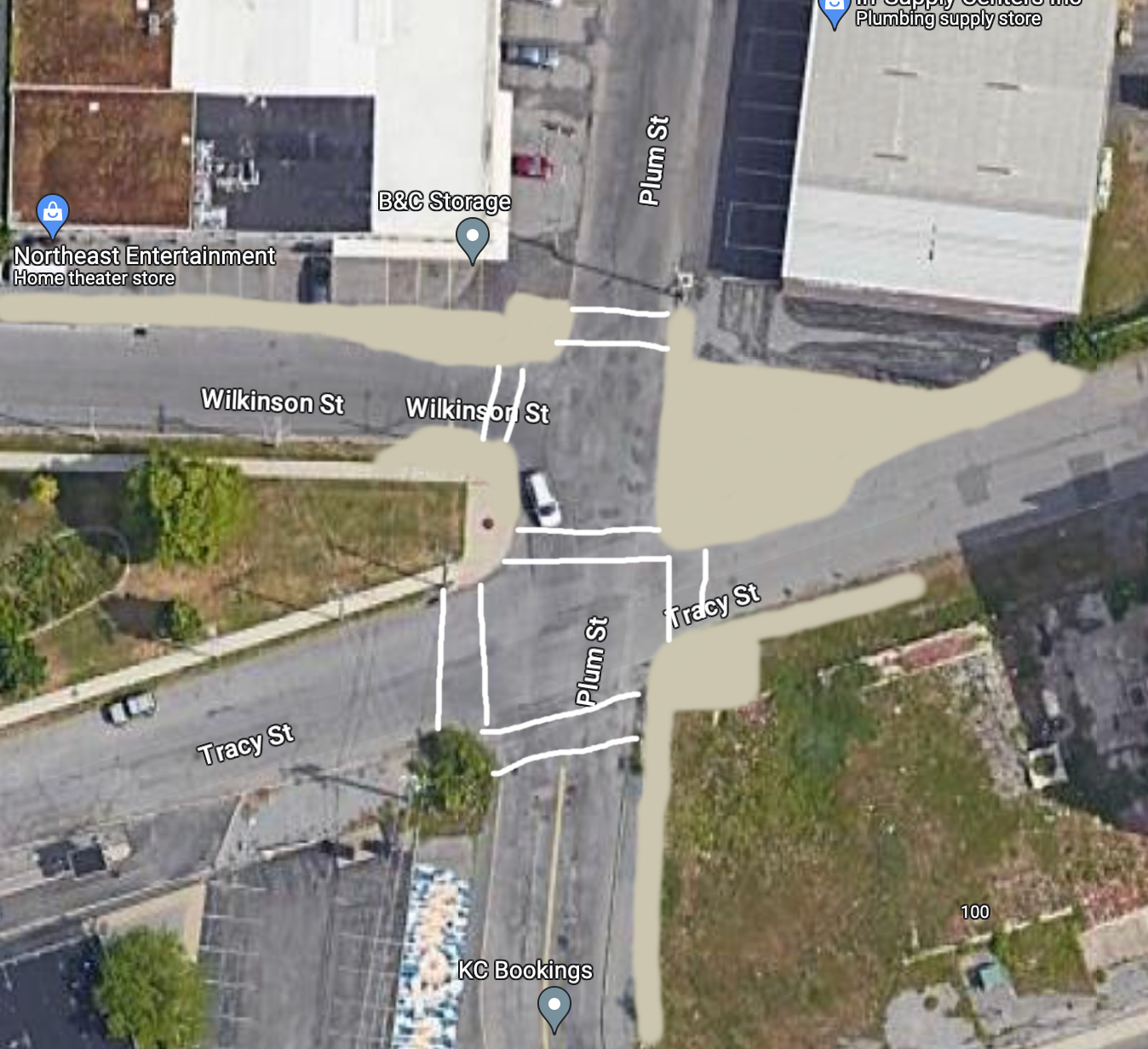
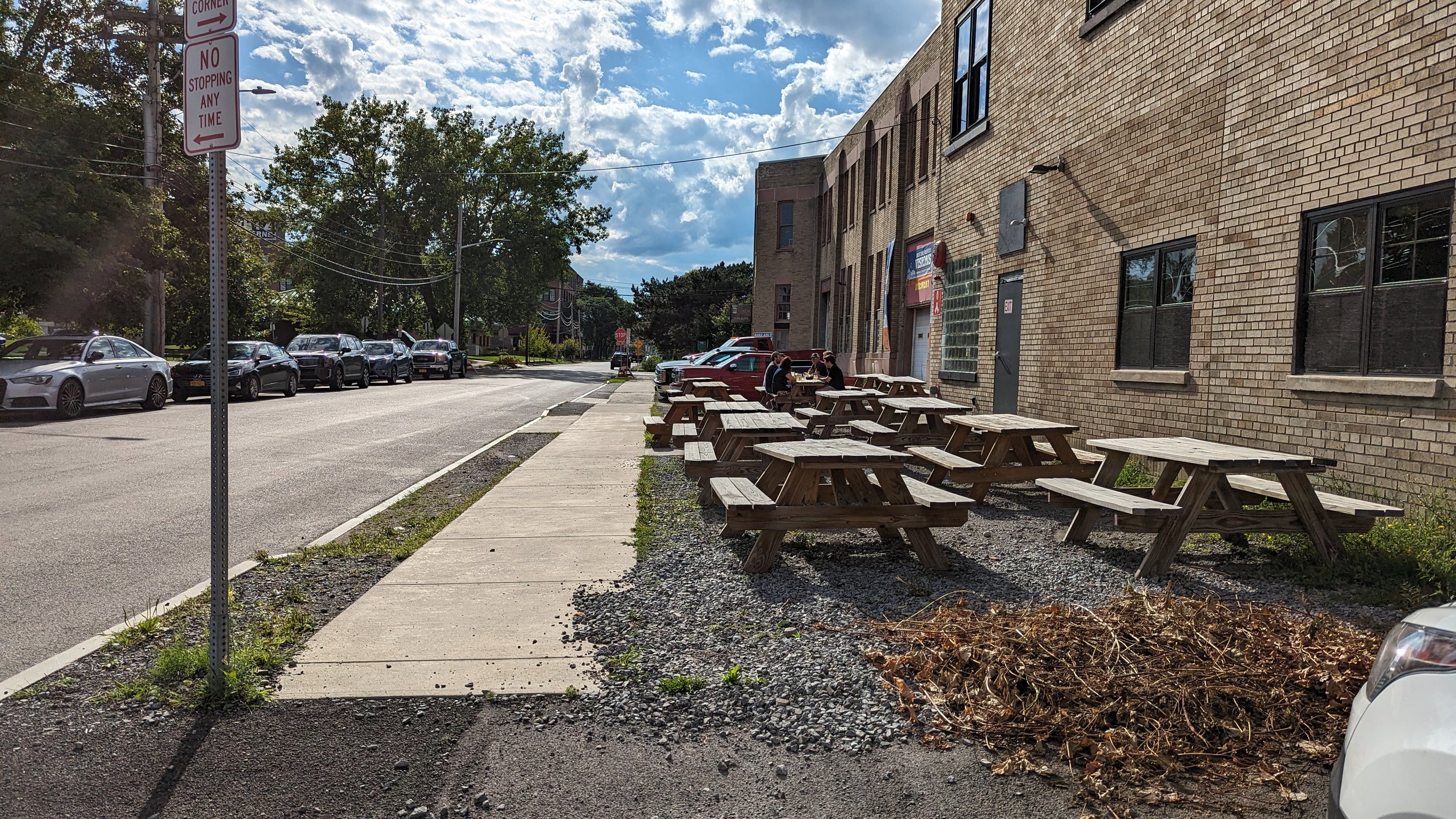
While the small park and Middle Ages both have sidewalks, all other surrounding properties do not, forcing people to either walk in the street or on uneven ground. If we truly want a walkable neighborhood, we need to provide spaces for people to walk. Building out the sidewalk network, through existing car storage areas, is key to improving these connections. We cannot let pedestrian infrastructure be afterthoughts, but instead prioritize investments in it.
As you arrive at Middle Ages, you’re greeted by outdoor picnic tables where visitors can sit and enjoy the sun on a nice day, or watch the many outdoor concerts they hold throughout the warmer months of the year. This is exactly what breweries and restaurants should be doing to engage with their neighborhoods, and we’re lucky to have such a place just a short walk from Downtown.

