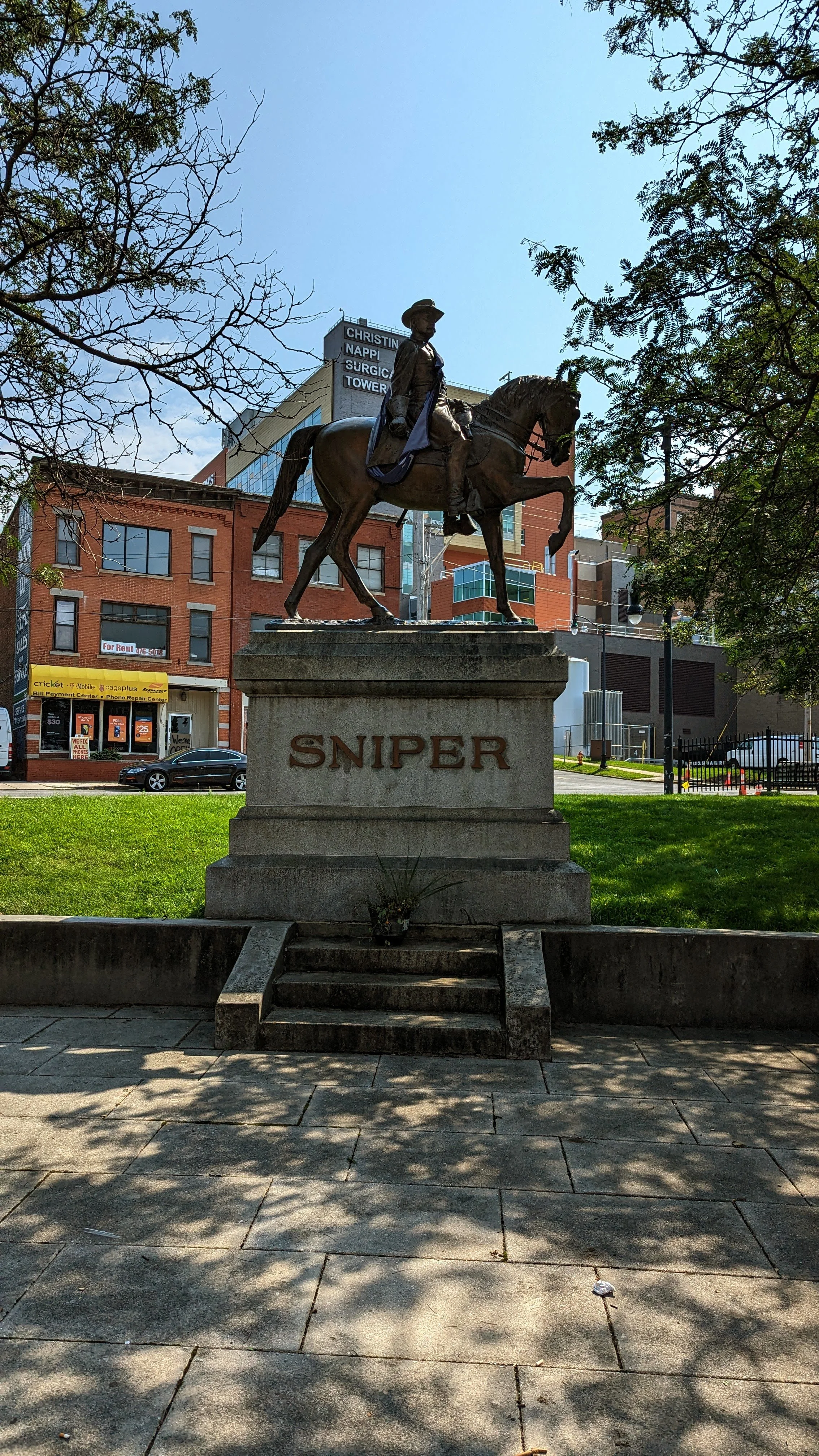
The Walk is a series of blog posts dedicated to documenting the current experience of walking between Downtown Syracuse and its surrounding neighborhoods. The purpose of these pieces is to highlight the importance of connections between neighborhoods. Small pockets of walkable spaces exist throughout the City, but there are large gaps between each. Building out safe, pleasant, and convenient routes between the City center and nearby neighborhoods is a great place to start.
Back in the early 1990s, the City of Syracuse and Onondaga County were faced with the serious probability of losing their minor league baseball team, the Syracuse Chiefs, if they did not replace their six decade old stadium, MacArthur Stadium. The search for where to put a new ballpark came down to two locations - Downtown Syracuse behind Armory Square or in the parking lot of the old stadium. Downtown Syracuse of the 1990s was a far cry from the neighborhood it is today, and the City was still in full suburbanization mode, emphasizing easy access for those who chose to leave the City instead of focusing on those who decided to stay. As a result, the new ballpark began rising in the parking lot of MacArthur Stadium, with the old field destined to be paved over for car storage.
Today, NBT Bank Stadium recently underwent a $25 million renovation in 2020, as a way to keep the team, now the Syracuse Mets, in town for another 25 years. Now, towards the end of my 5th season as a weekend season ticket holder, I am off to the ballpark for Sunday brunch. While this walk is a bit outside the two-mile limit I had originally set out (roughly 2.4 miles), I think we should see how the decisions made nearly 30 years ago impact our ability to experience the City on a day out at the ballpark.
While you could take the Onondaga Creekwalk most of the way to the ballpark, I feel the more interesting, and more important, walk will take us north on N Salina St, cutting through Little Italy and the Northside. But, as always, we will begin from Downtown.
Downtown - Under I-81
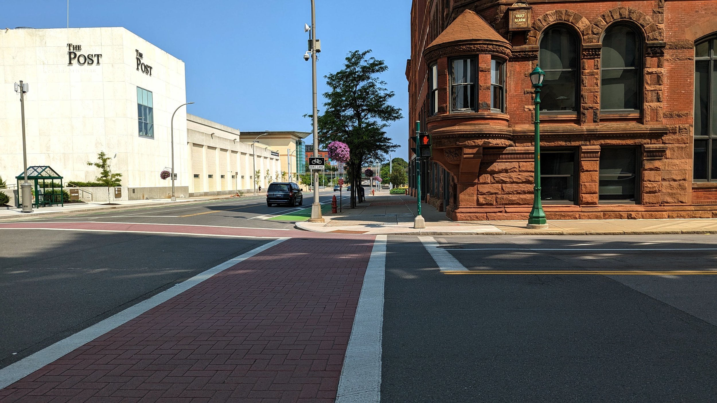
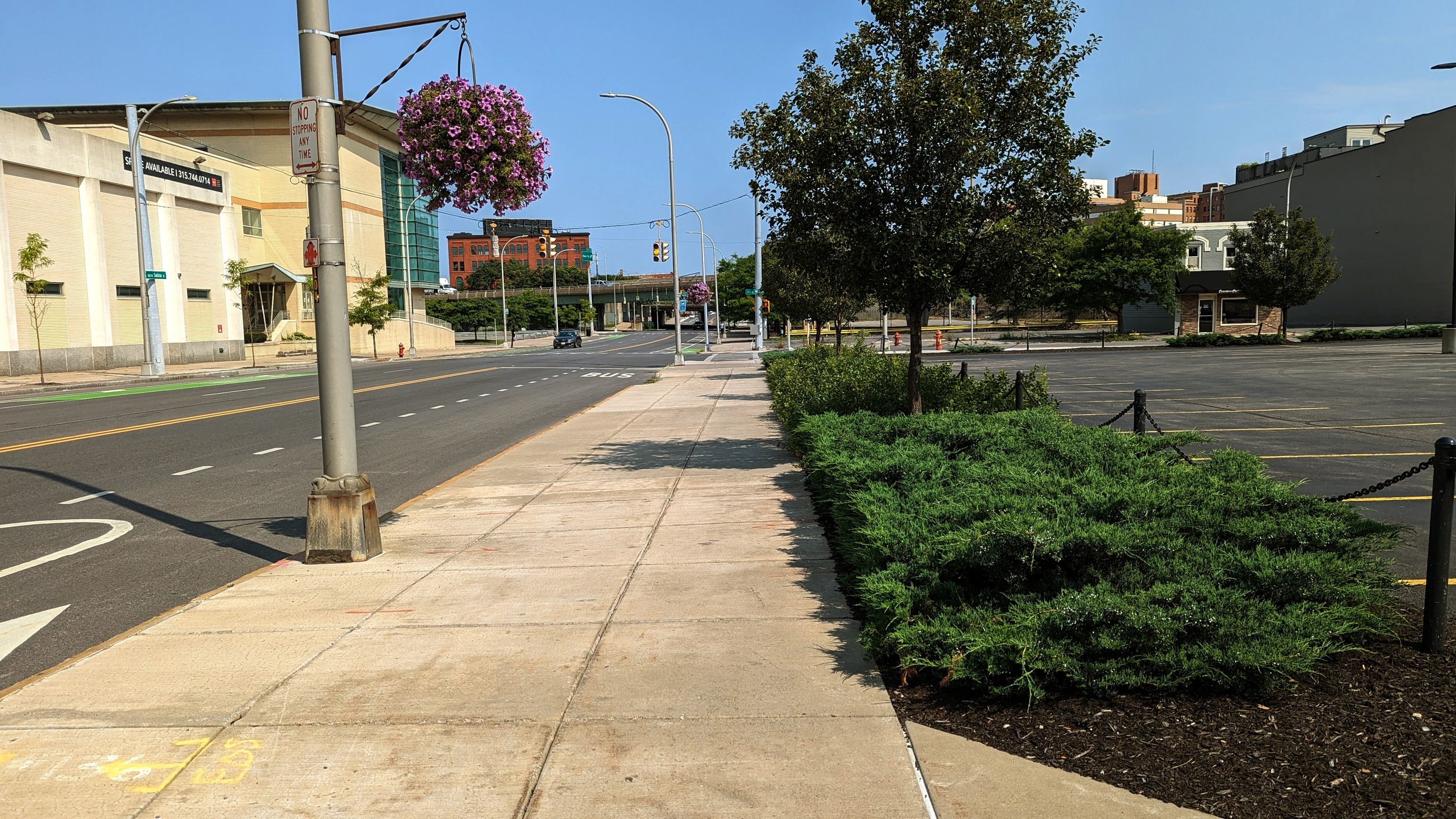
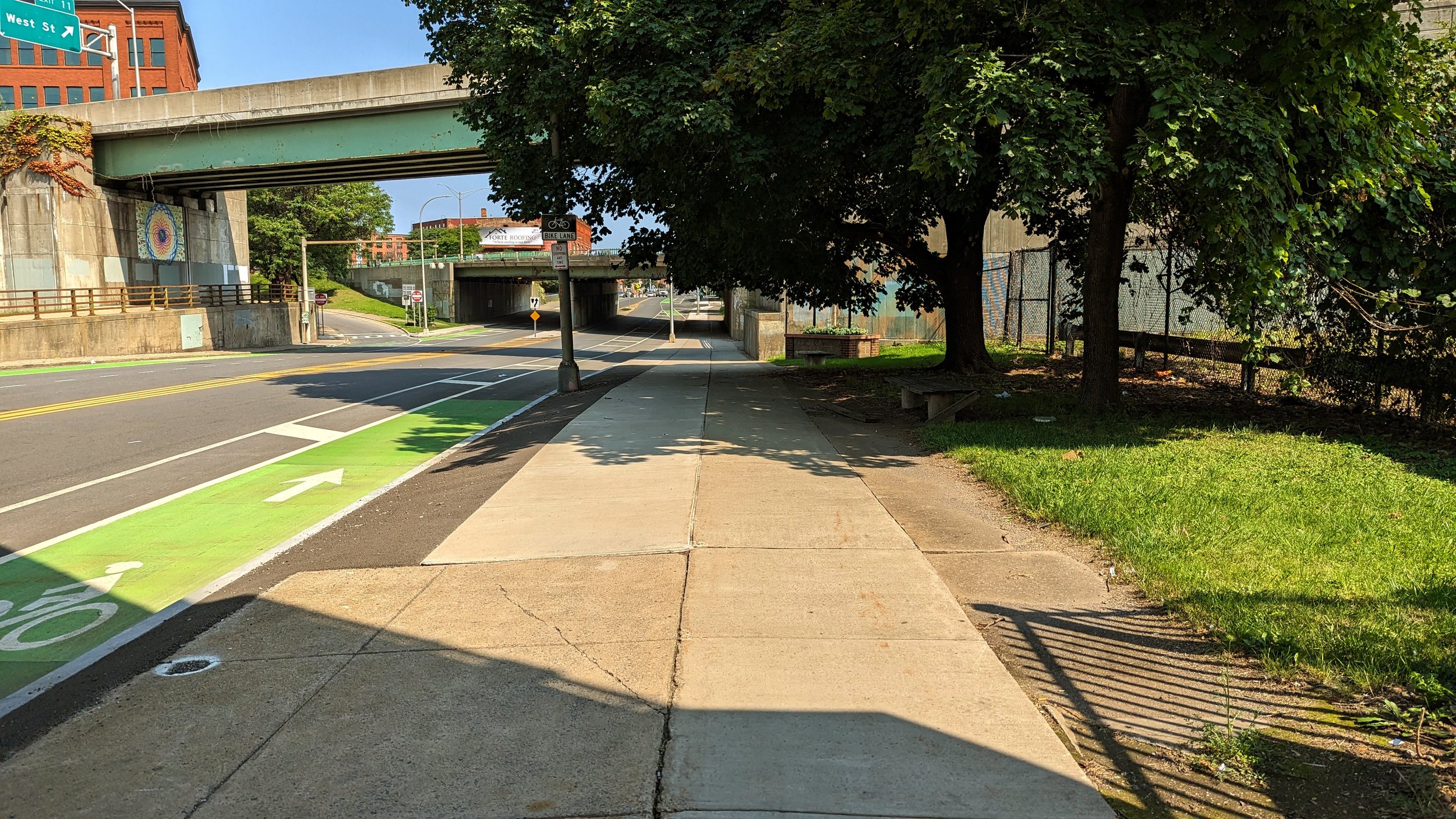
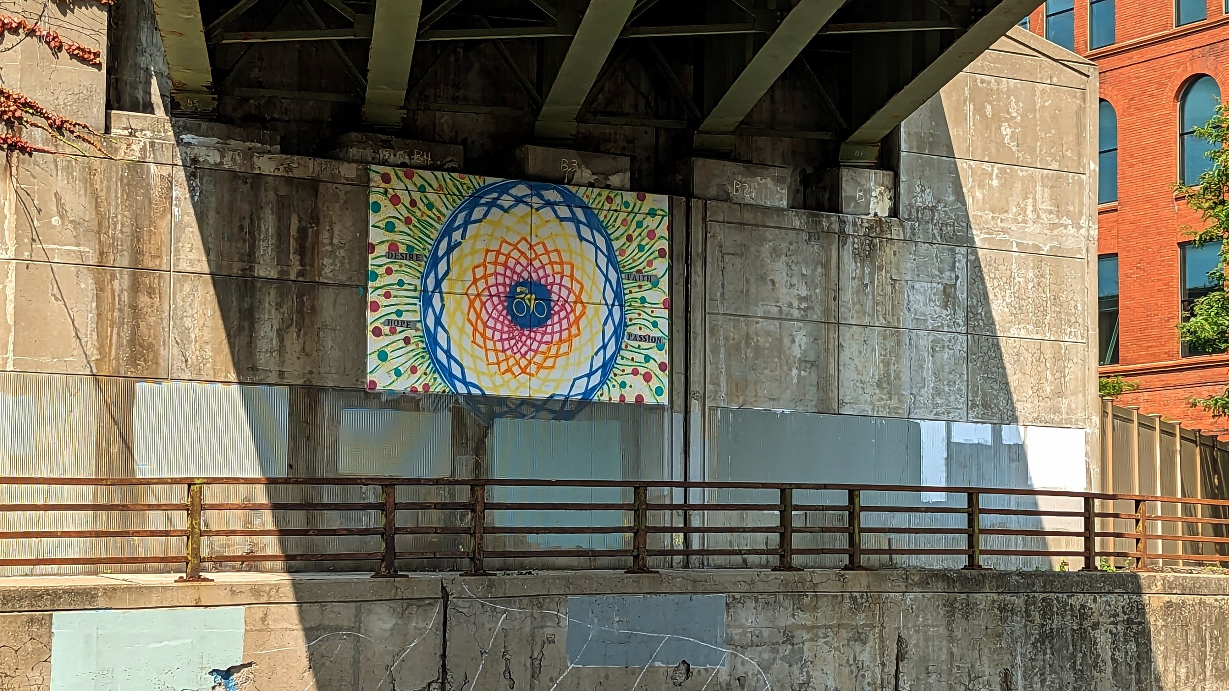
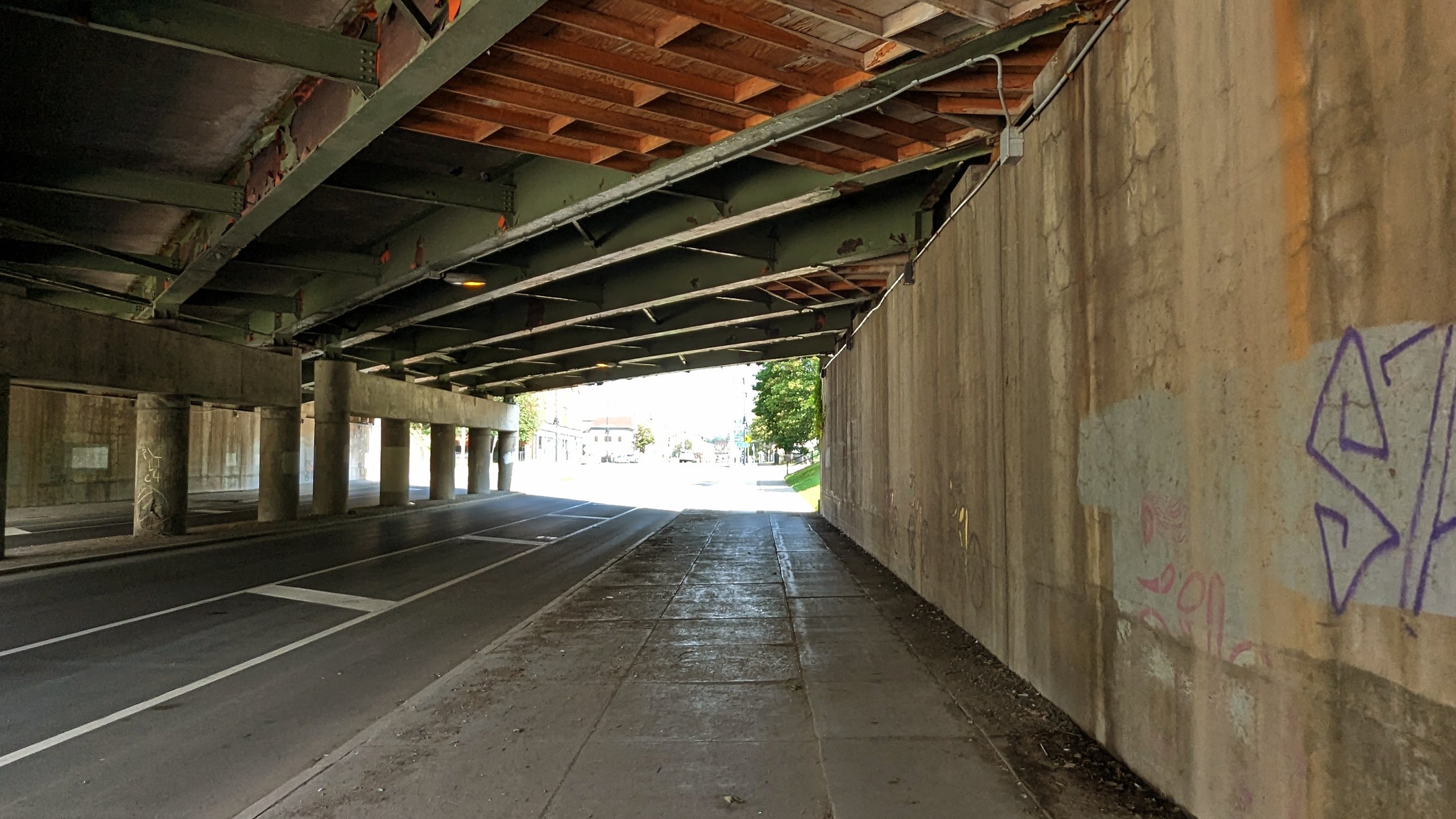
From Clinton Square you begin by heading north along N Salina St. The roadway deserves its place as Syracuse’s Main Street. Extra wide sidewalks line each side of the street with freshly painted buffered bike lanes along the curb. The bike lanes have allowed the City to reduce the roadway from four lanes to three, with a full bus shelter on the northwest corner of the N Salina / James St intersection.
The old Post Standard building, now known as the Post, recently went through a renovation that helps to clean up this corner, while the eastern side is fronted by an historic bank building, which has been around since the days of the Erie Canal.
This is generally where the positives end.
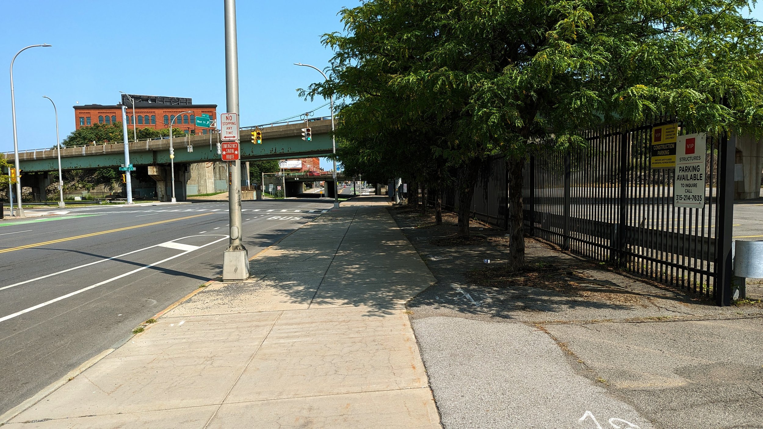
As I noted in a previous post, as you head north towards I-81, the buildings quickly fall away and you’re surrounded by parking lots and the hulking mass of the Post Standard’s former printing press and loading docks. While the parking lot on the eastern side is lined with trees and flowers, it does little to enliven the area.
As you approach the I-81 bridge, only a small mural under the roadway brings color to the space. An old industrial building, currently under renovation to become apartments, sits between the I-81 and I-690 bridges. The removal of I-81 will help free this building and improve residential access to the nearby businesses. The highway removal will also improve pedestrian access on the western sidewalk, which currently forces people across an off-ramp with bad sight-lines, creating a dangerous crossing situation.
Little Italy (I-81 to Lodi St)
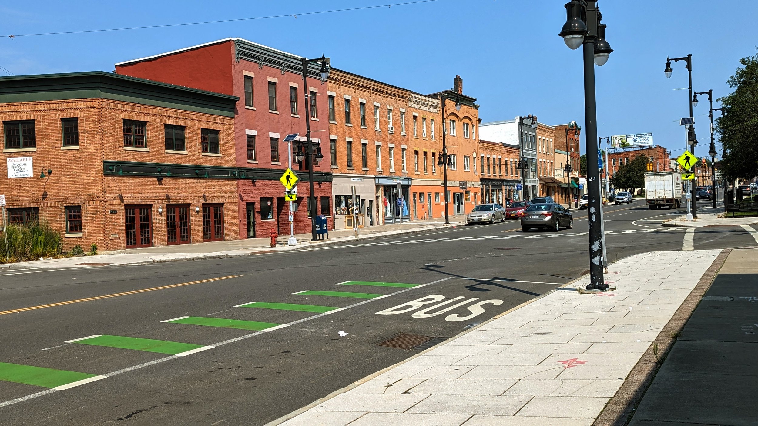
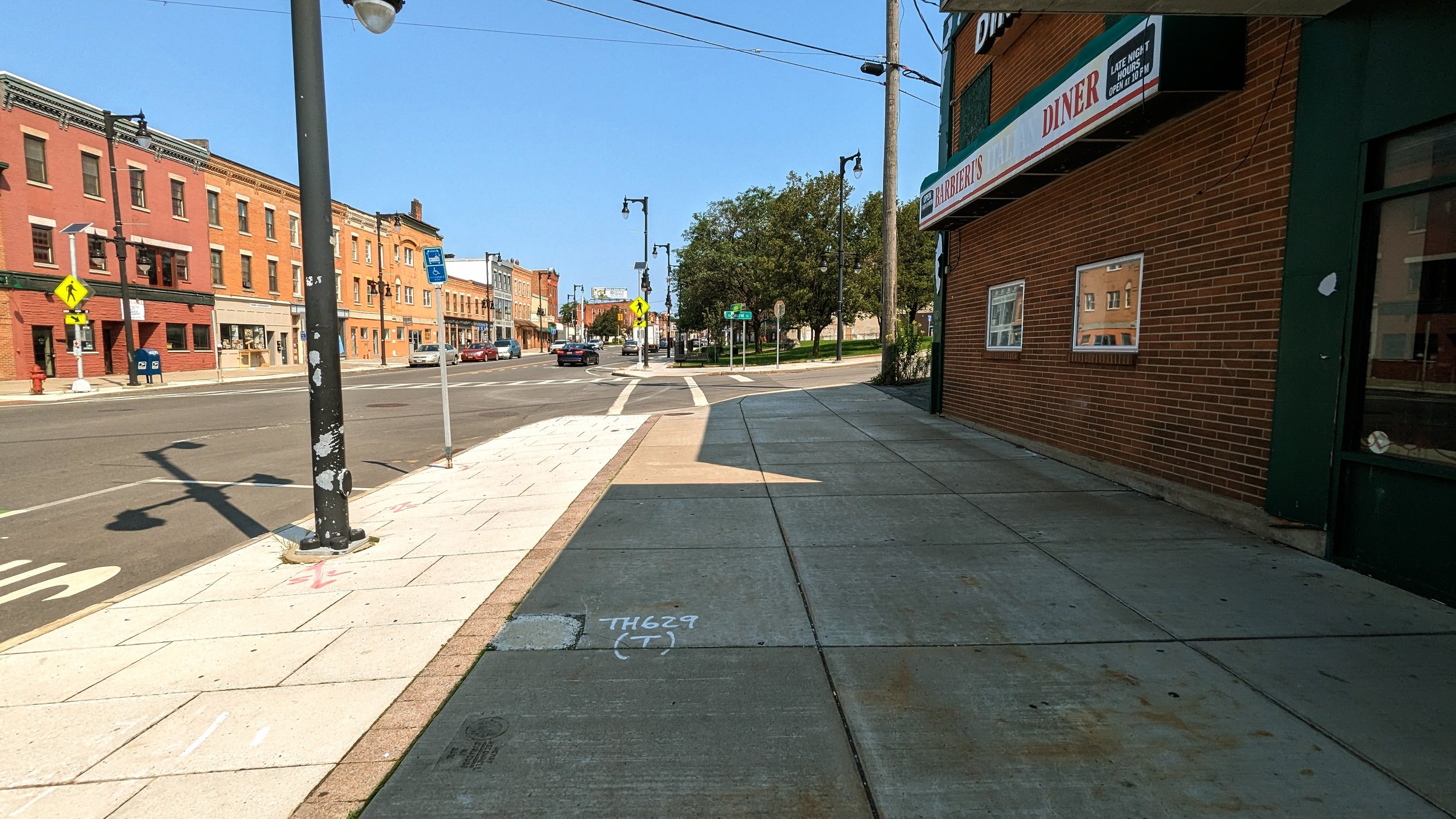
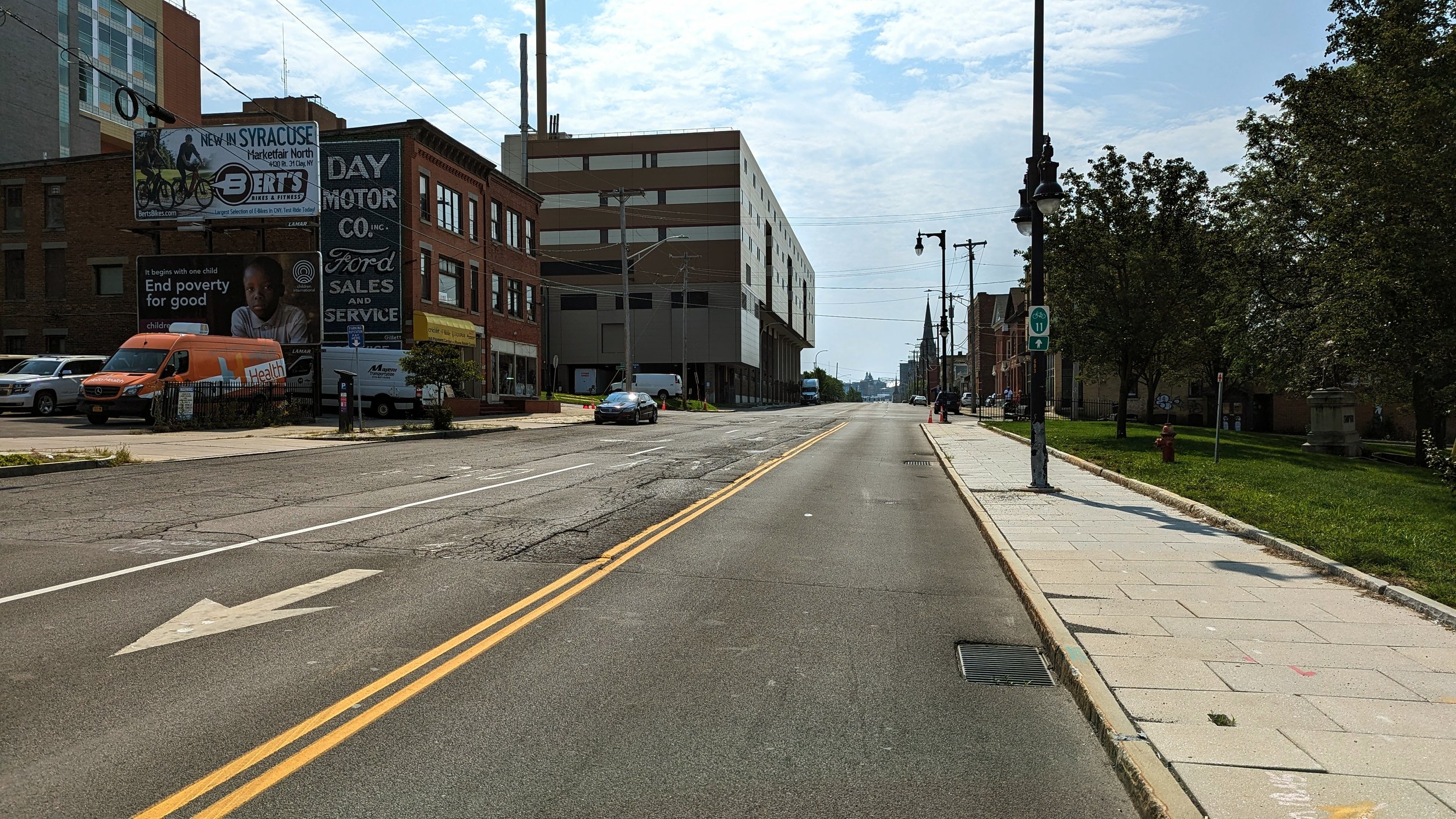
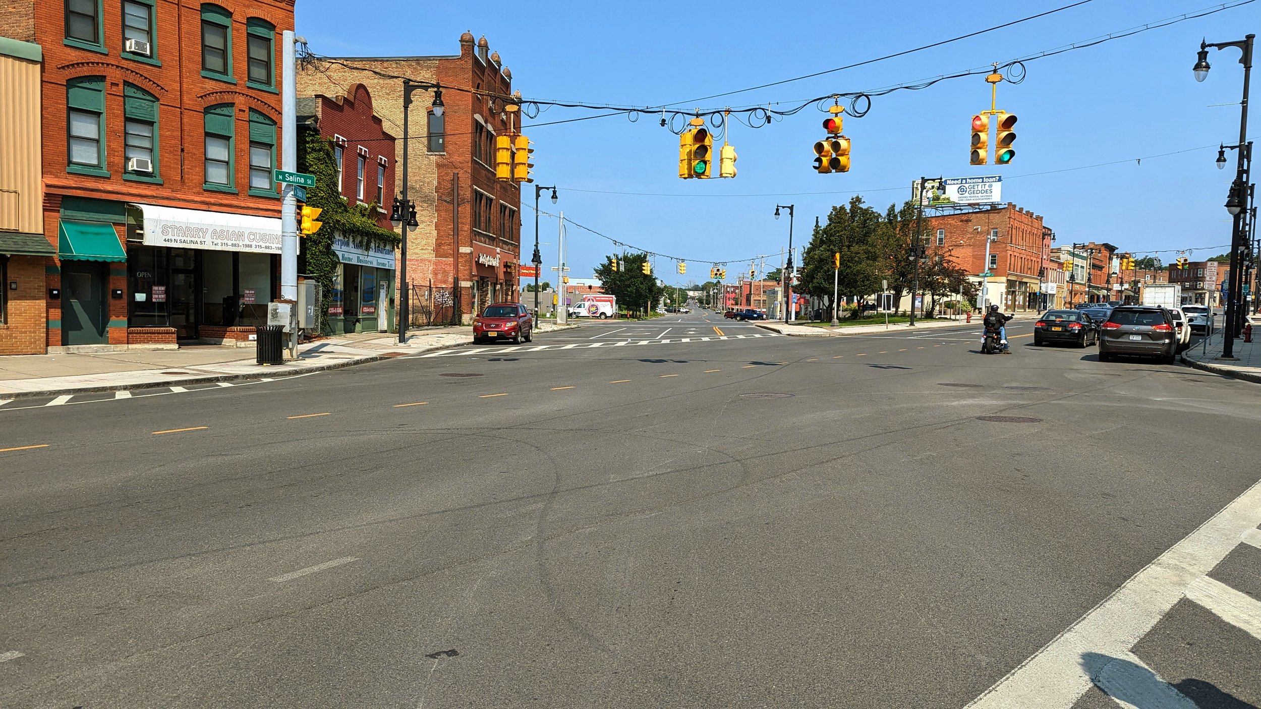
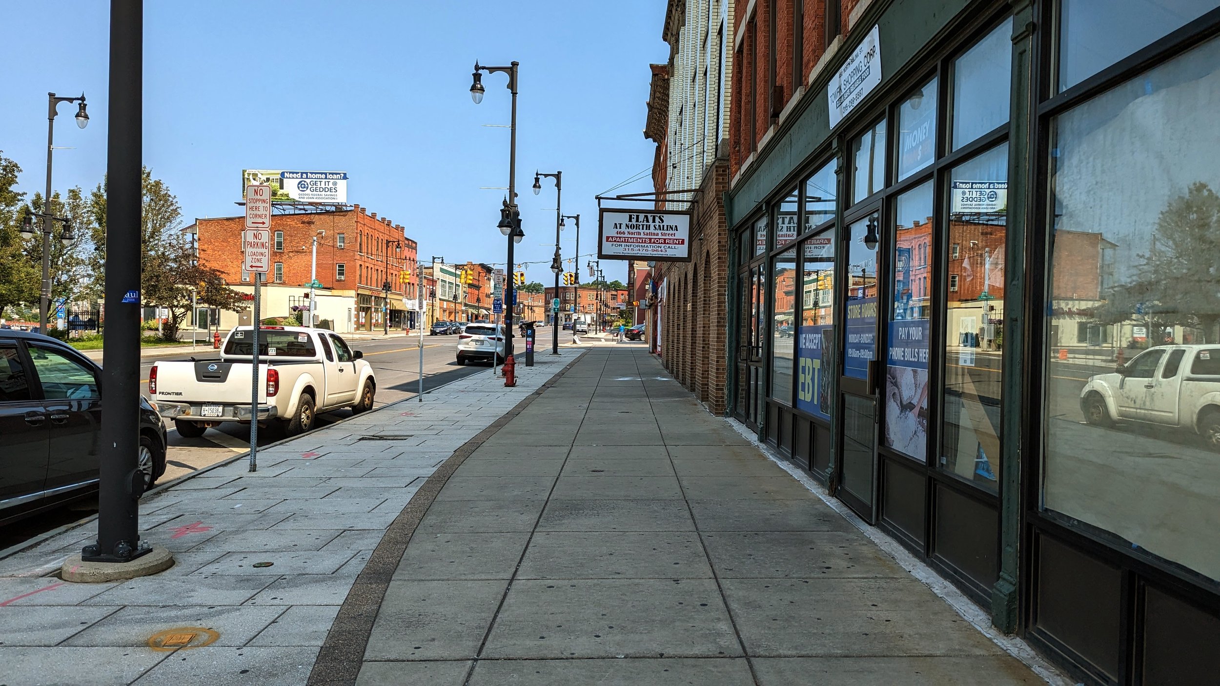
Once you’re out from beneath the highway, you’ve entered what has traditionally been known as Little Italy. While this moniker is still used today, the neighborhood has continued to diversify far beyond its Italian roots. The Northside is billed as “Home to generations from many nations,” and the current experience along N Salina St exemplifies that sentiment. Shops that cater to dozens of different cultures and backgrounds can be found throughout the neighborhood, including many with African and Middle Eastern roots. Some Italian, or Italian style, businesses still exist, including Francesca’s and Biscotti’s, but they are no longer surrounded by similar establishments as they once used to be.
If any neighborhood was ripe for growth, it is Little Italy. The older building stock, with many structures built in the late 19th and early 20th centuries, lends itself to apartment conversions and walkable stores and restaurants. Even some of the newer buildings, like the Dunkin’, mimic this classic style. But any redevelopment should take care to preserve the local businesses that currently call this street home. The incredible diversity of cultures found on the City’s Northside should find themselves welcome on this street, and visitors should come to appreciate what it has to offer.
Throughout Little Italy the wide sidewalks found Downtown continue. Often these sidewalks are 25 ft wide, providing ample space for outdoor dining or sidewalk sales. The buildings that line the street are pedestrian oriented with commercial spaces on the ground floor and apartments above. While many are currently in use, several prominent buildings sit vacant or underutilized, including a vacant grocery store, which could serve both the Northside and Downtown residents. One thing this street is missing is a tree canopy. Beyond small pocket parks, the street is nearly devoid of street trees, which makes walking along the corridor on a hot day far less enjoyable than it could be.
While the built environment lends itself to walking and experiencing it on foot, the Butternut St / State St / N Salina St intersection acts as a sharp divide.
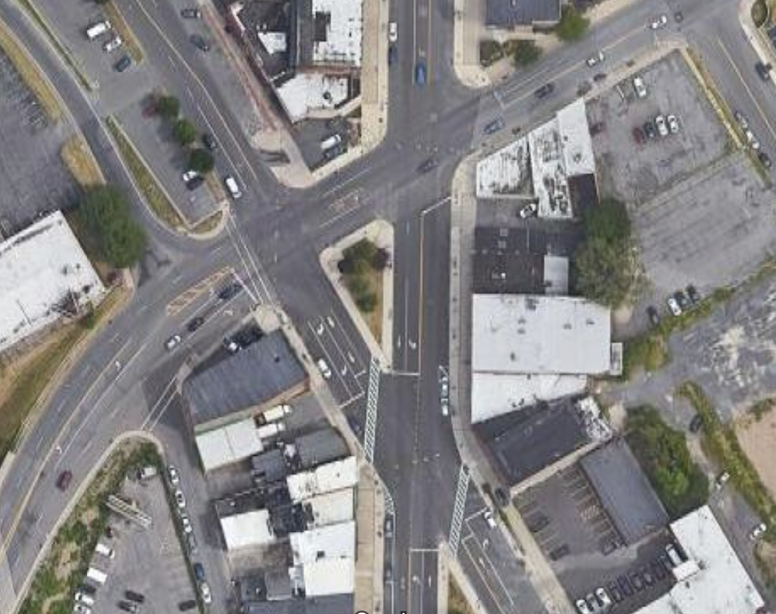
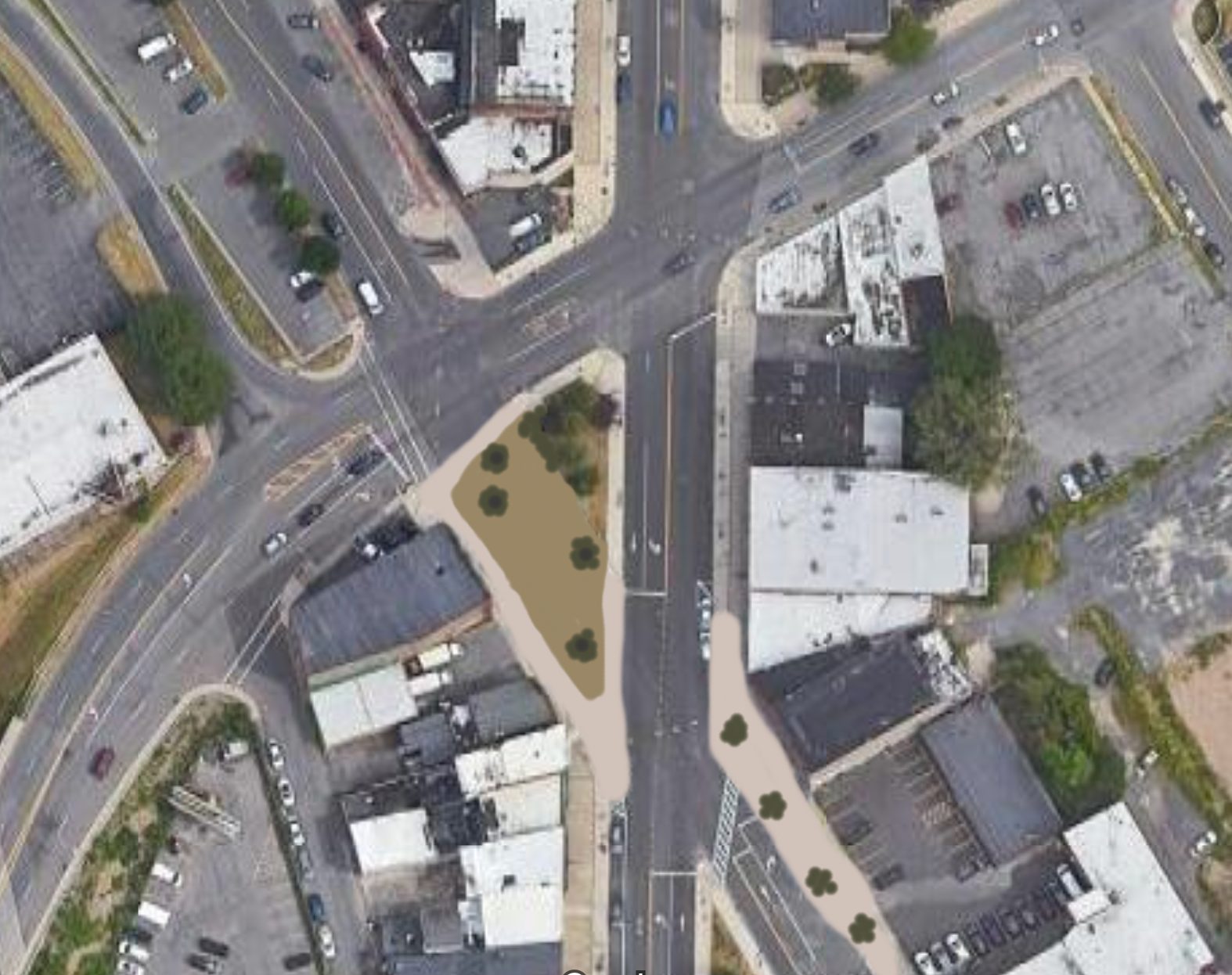
Forming the shape of a triangle, the intersection does little to help anyone get through easily. As a driver, lights often don’t line up, catching you in the middle of the multi-step intersection. As someone on foot, its tough to determine who is turning where, when. Add to that the thoroughly overbuilt State St, with four wide lanes that welcome speeding cars.
Minimal changes will occur to this intersection as a result of the I-81 project, namely a slight realignment of the Butternut St bridge and a removal of the on-ramp to the highway. But we should go further. In fact, we should remove and reshape large portions of this intersection to make it friendlier to people on foot.
Closing State St from Butternut to N Salina would allow for the expansion of the existing grassy median into a full fledged park. It would also slow drivers through forcing turns. On the remaining legs of State St, we should look to narrow the roadways and right-size our streets for the fairly low-level of traffic they actually receive. If done correctly, this intersection could become a place to be instead of a place to pass through,
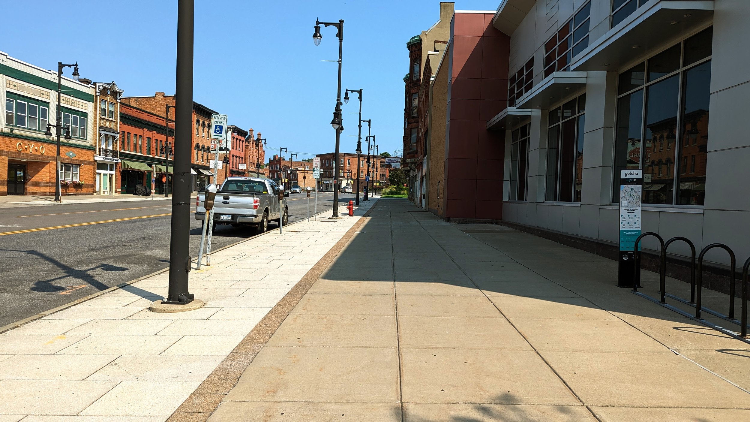
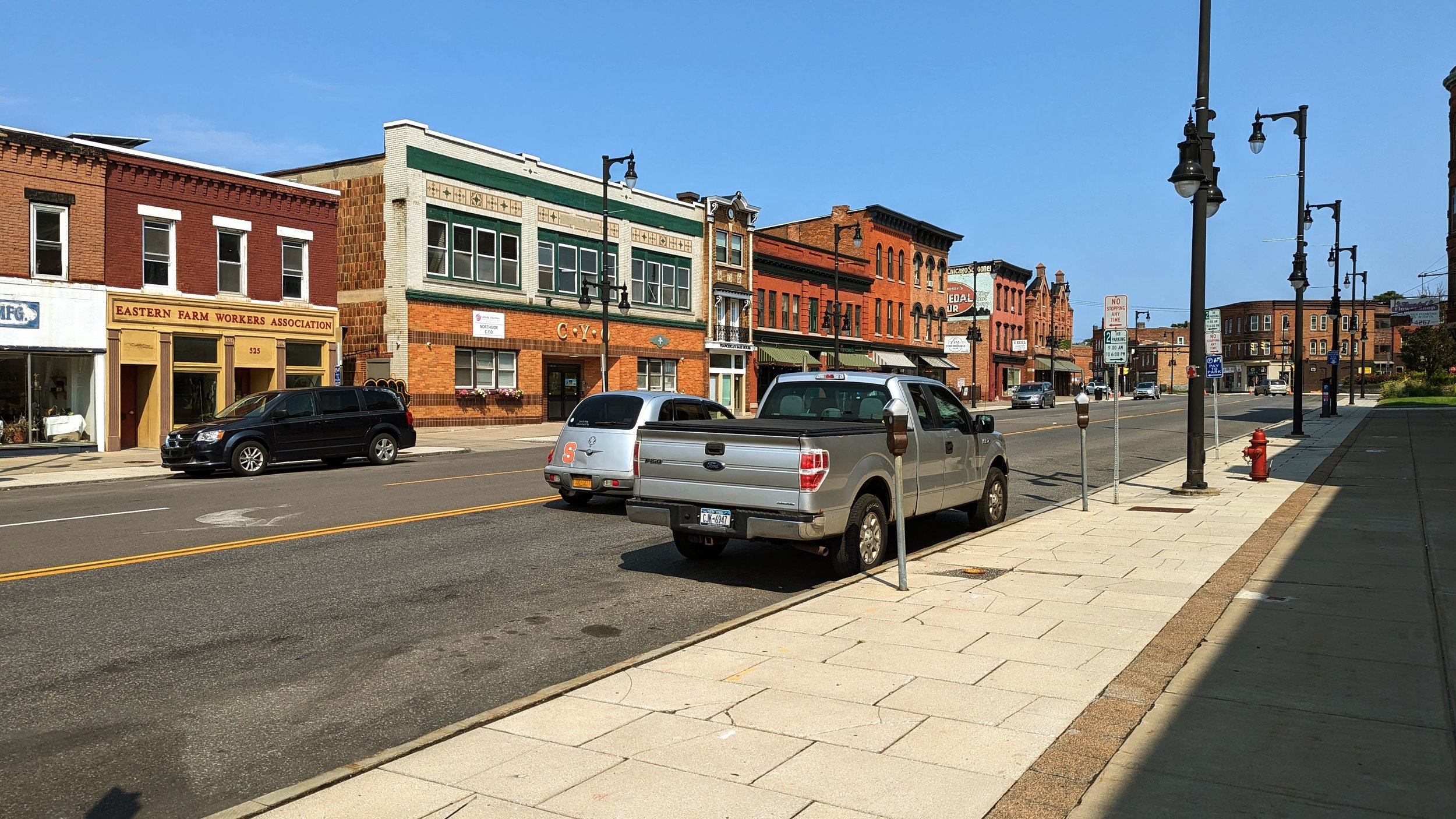
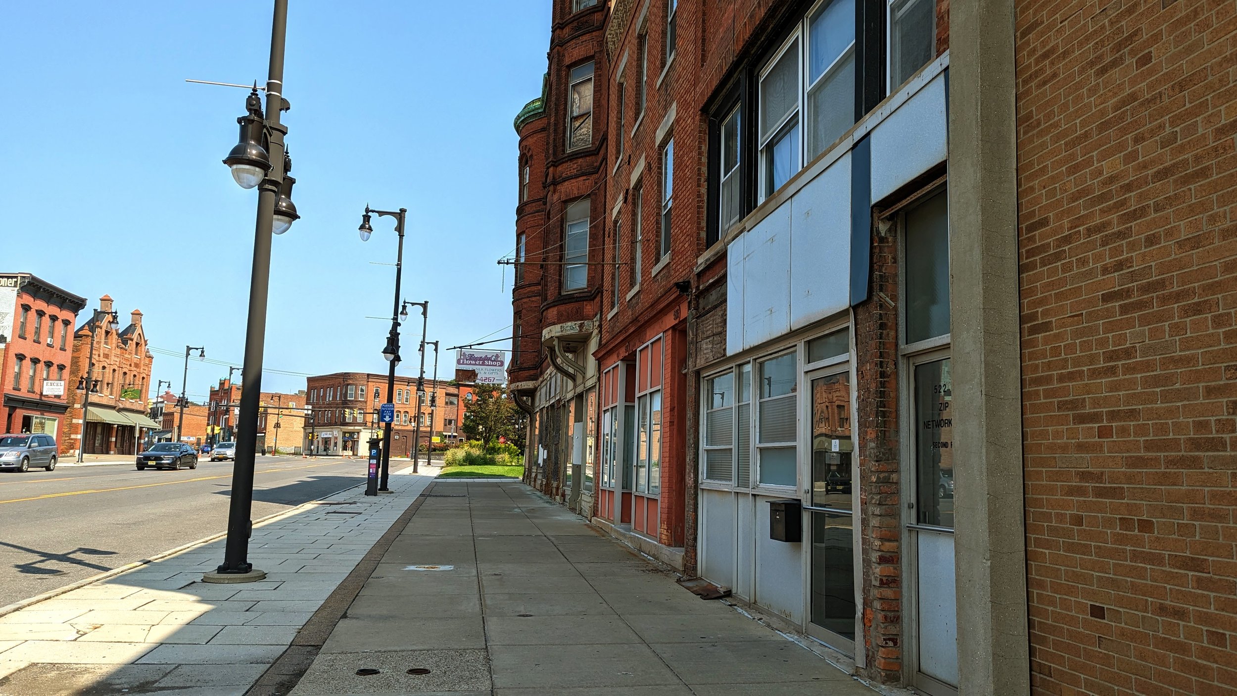
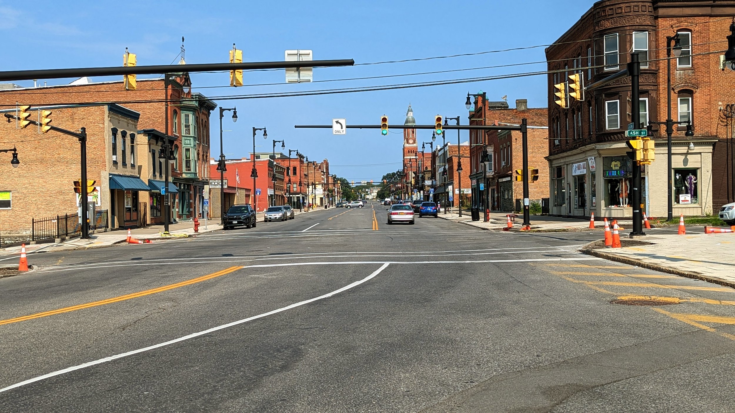
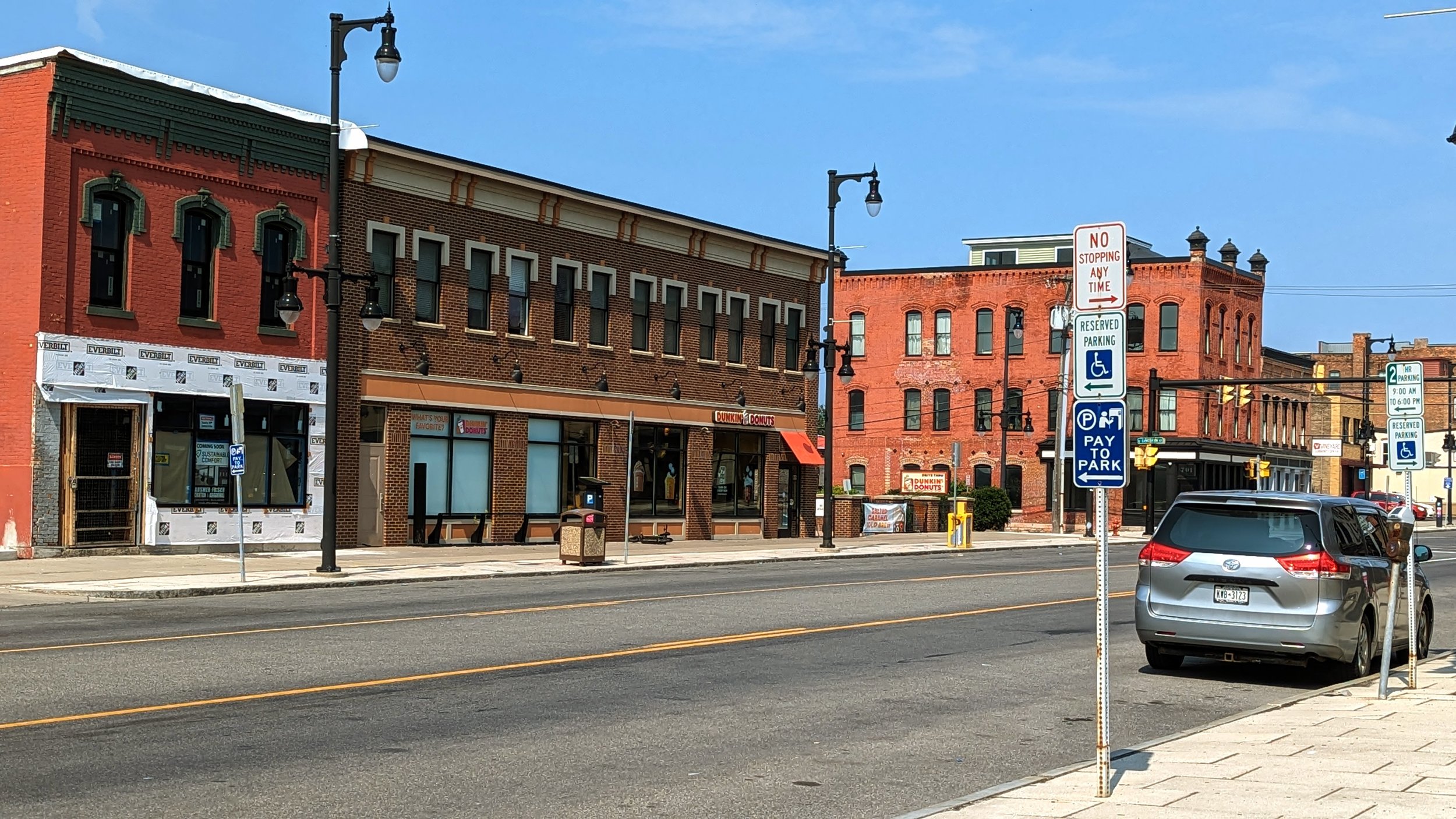
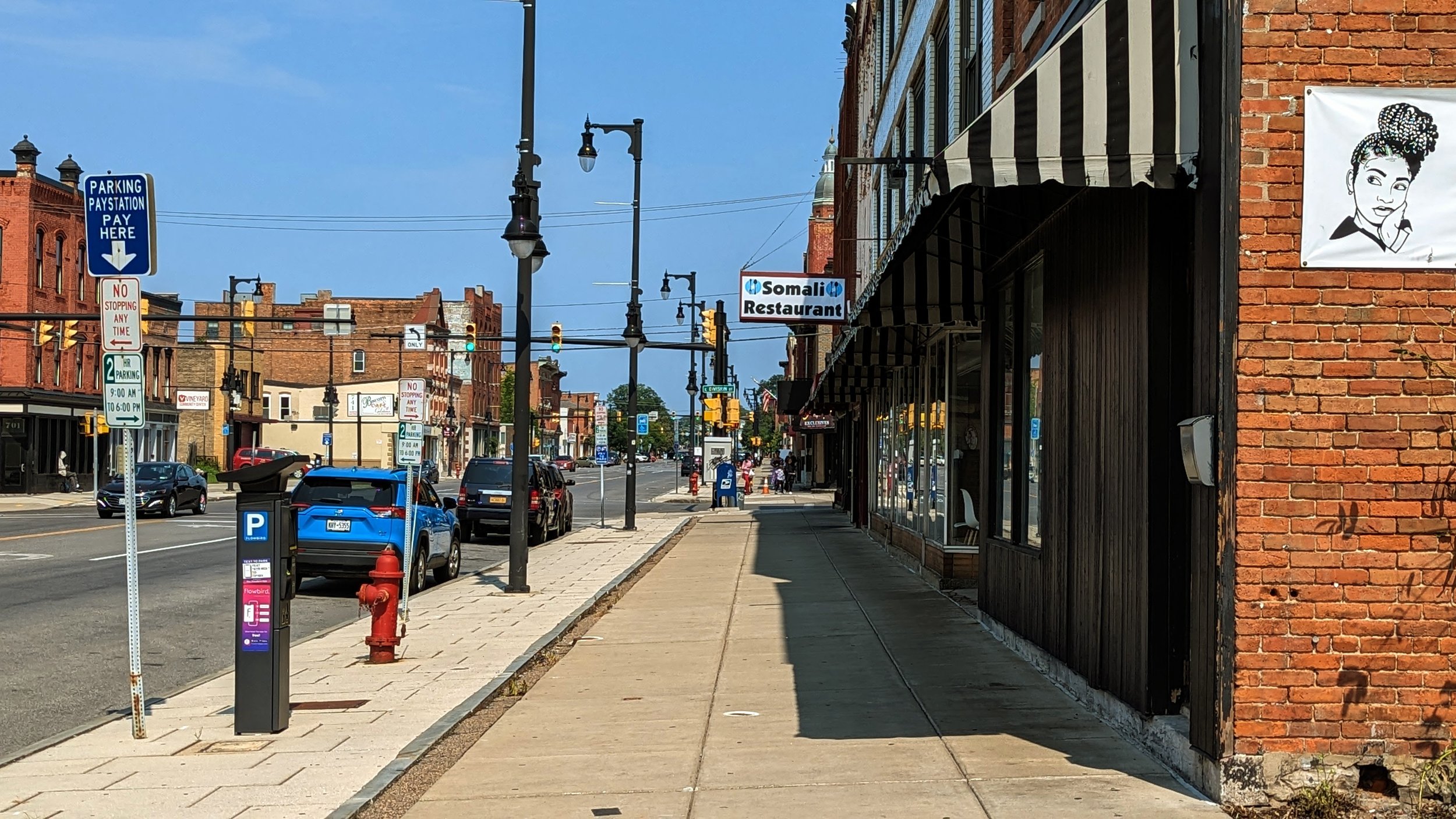
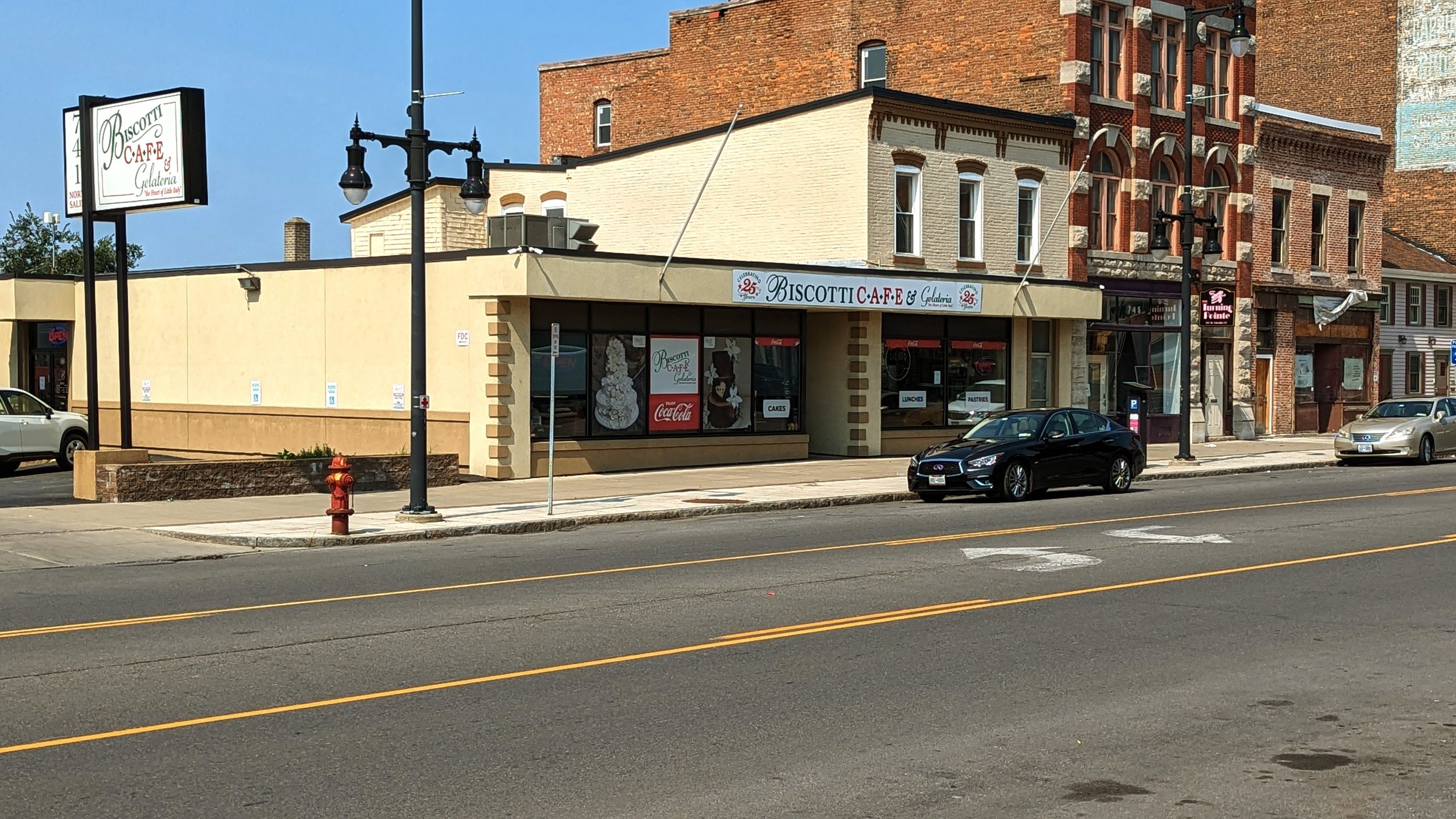
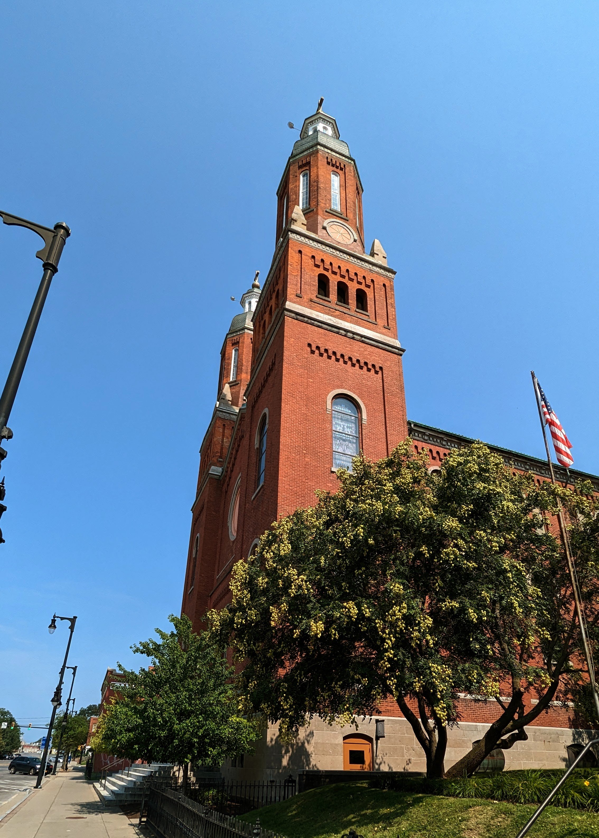
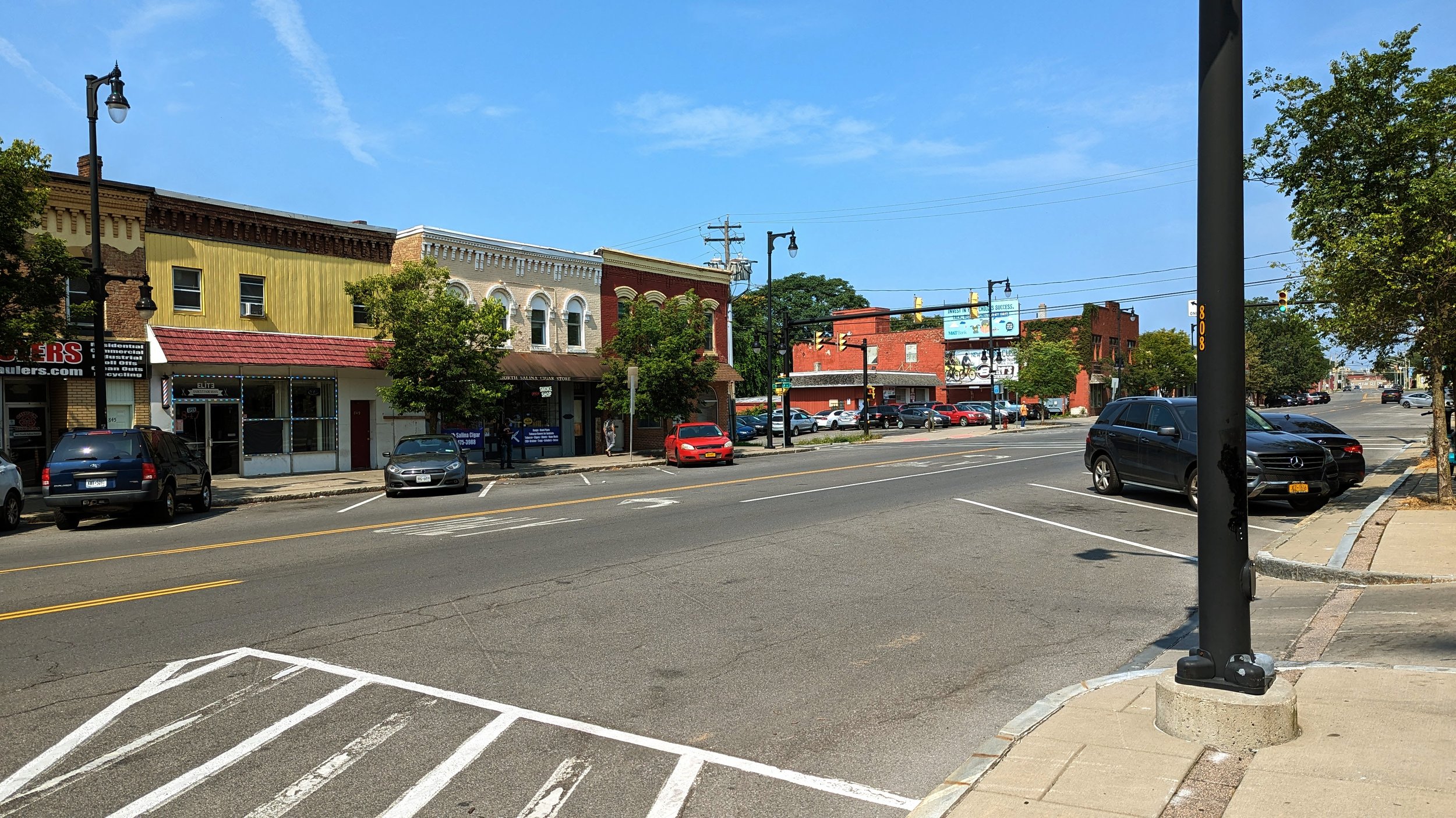
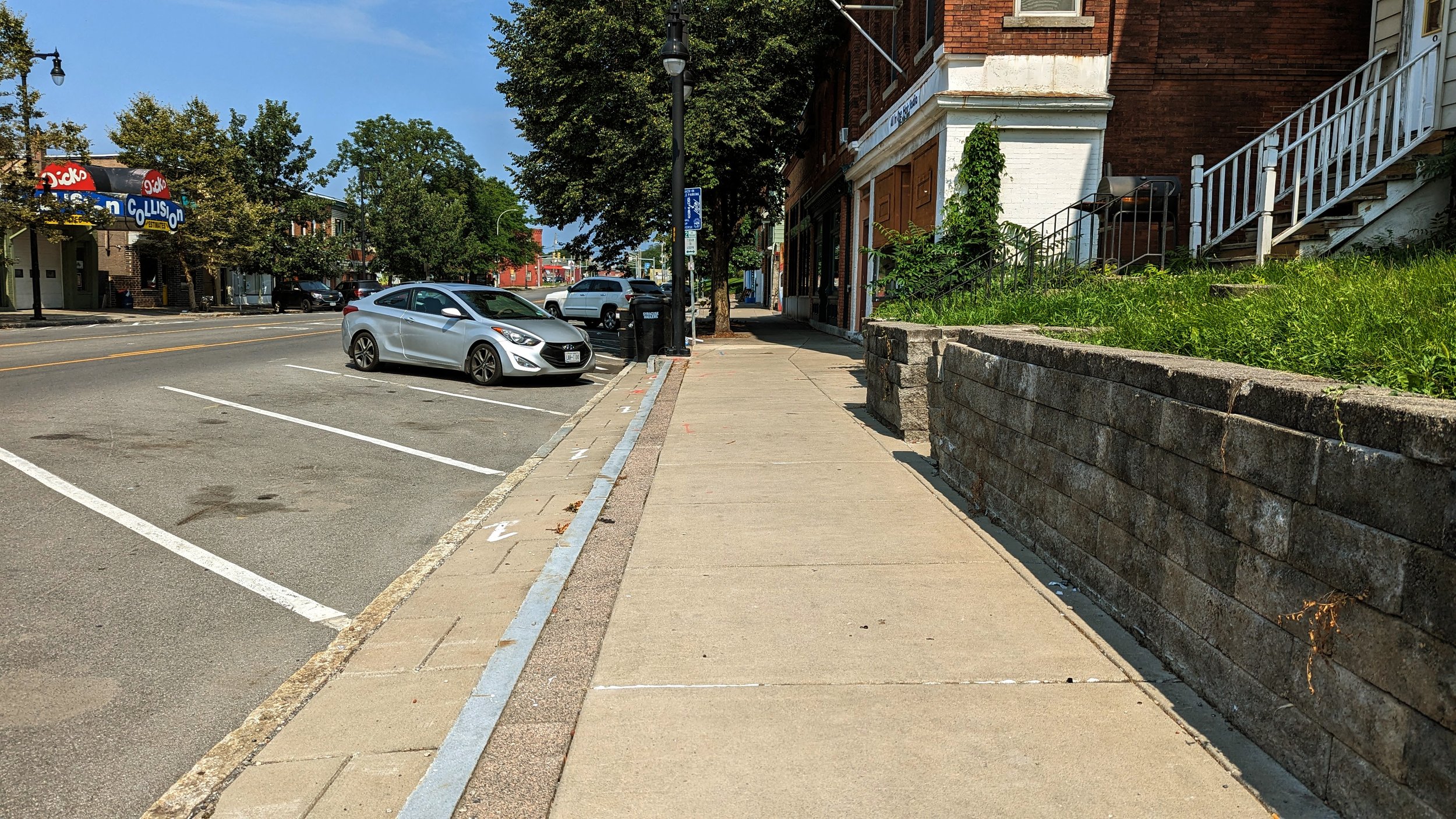
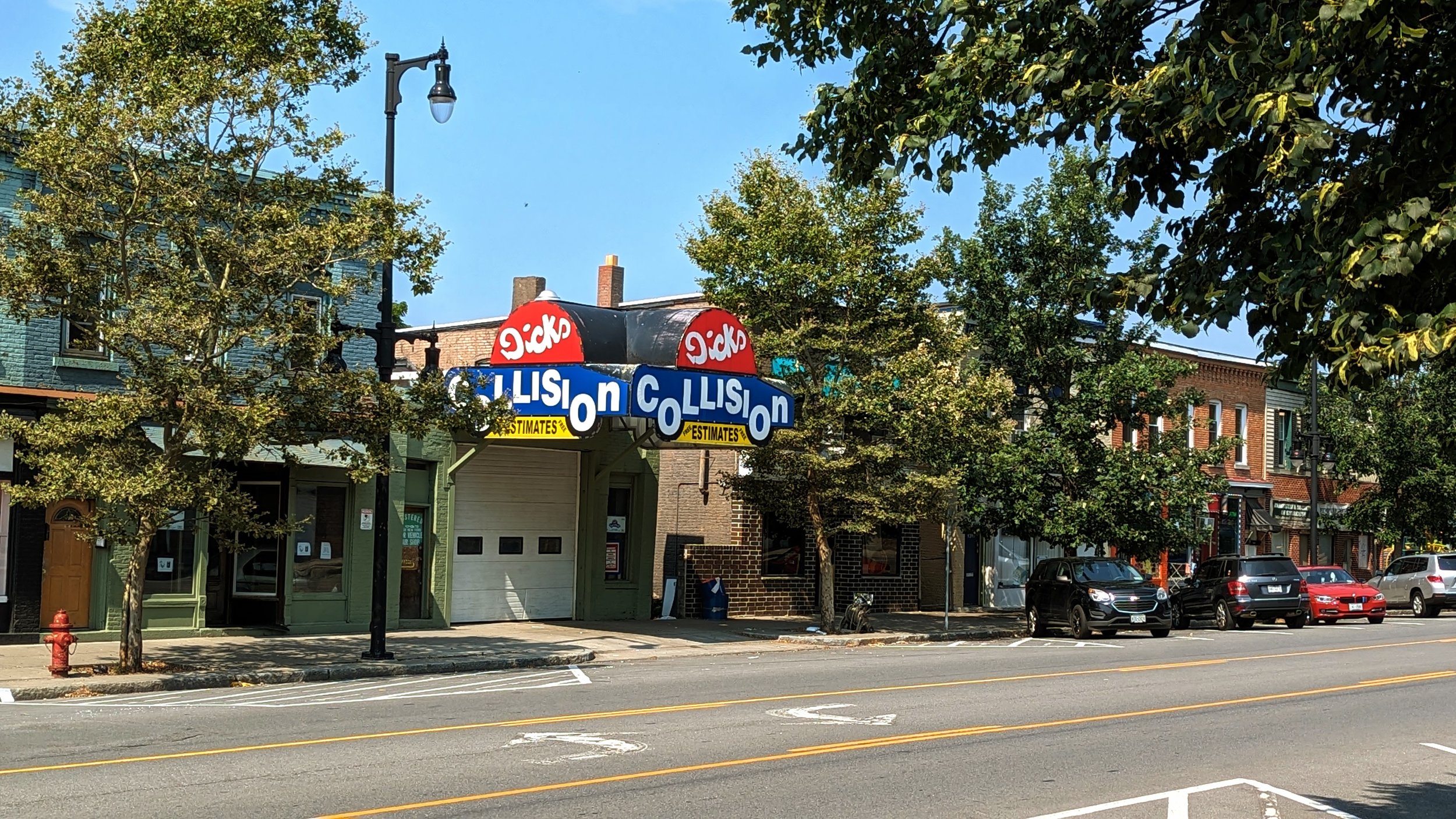
Past the Butternut intersection, the wide sidewalks continue alongside historic architecture until you reach the most prominent landmark of the neighborhood, Assumption Church.
The two bell towers define the Northside’s skyline and its campus of buildings anchor the area around Catawba St. The old school has been transformed into apartments over the last ten years, with its gym now serving as an indoor soccer pitch for youth leagues. The parish’s food pantry also serves as a vital community asset for those in need. As a result, walks near the church are often accompanied by people of all walks of life. Those volunteering at the pantry, those needing its services due to recent hardships, and those who have come to rely on it for near daily necessities. It is the most visible example of the church adhering to its stated mission, and yet, many find it uncomfortable to walk by.
As I noted in my walk to Tipperary Hill, these spaces reinforce the need for robust housing and relief programs that go far beyond walkability. But these are important issues to note and find ways to address. This may be through an abundant housing strategy, drug rehabilitation programs, job training, and readjustments to our social safety net programs. As noted before, I highly recommend a conversation on a recent episode of the Ezra Klein Show as a starting point on addressing these issues. There is also positive movement from the Syracuse Police Department in changing their approach to addressing the needs of individuals in these difficult positions.
Lodi Intersection
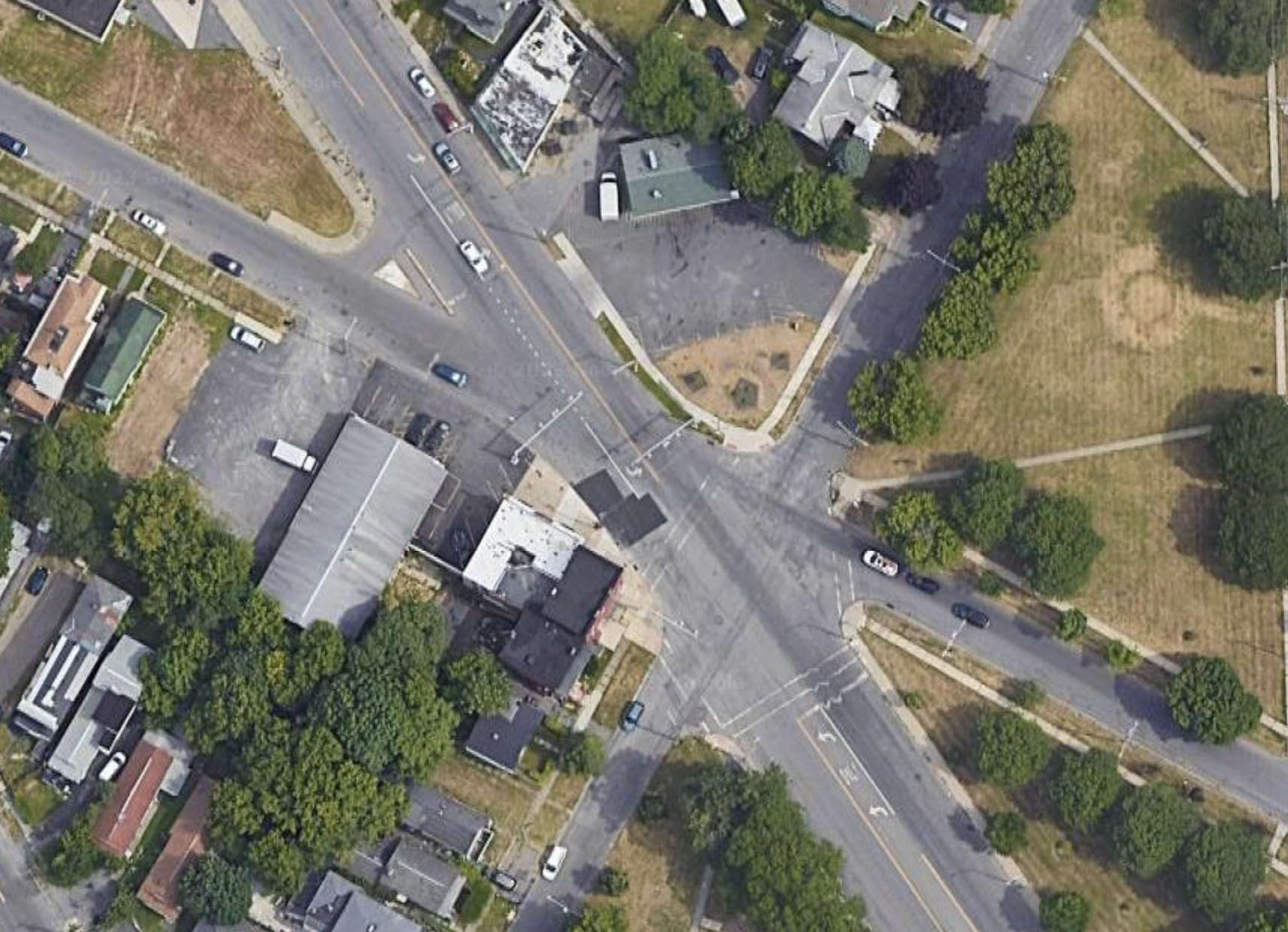
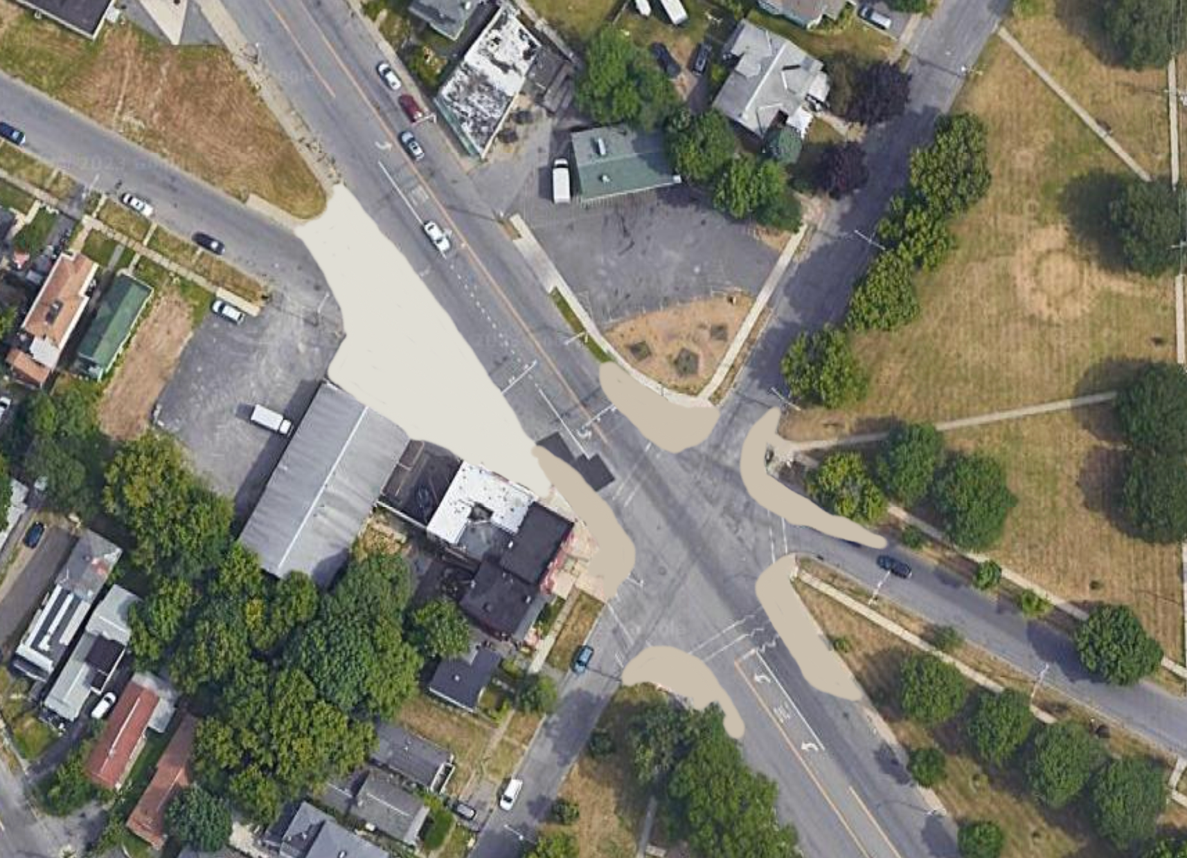
While the Butternut St / State St/ N Salina St intersection is complex, the intersection with Lodi St is far more complicated in terms of navigation. Similar to the previous intersection, six street legs converge at the same location, but this time there is no island helping to define the movements.
The southbound approach of Lodi St reaches the intersection has vehicles stopping over 160 ft back from the center of the intersection and is bordered by a parking lot that pushes cars into the intersection as they exit.
Hills on the westbound approach of Kirkpatrick St and the northbound approach of Lodi St reduce visibility of people on foot, and also force them to walk up and down stairs if they are to use cross the streets legally.
Again, this is an intersection in need of some trimming.
Southbound Lodi should see its movements blocked before the intersection, creating either a dead-end street or pushing drivers to turn on N Salina St before the traffic signal.
This should be paired with a narrowing of the other approaches. Currently, the northbound approach of N Salina St measures over 70 ft in width for only three lanes of traffic. The southbound approach isn’t much better at over 50 ft wide. These roadways have plenty of space to repurpose as curb extensions or bus lanes. Adding in painted bump outs would be an ideal approach as it would provide the flexibility to adjust for future transit improvements in the near future.
Lodi St to Wolf St
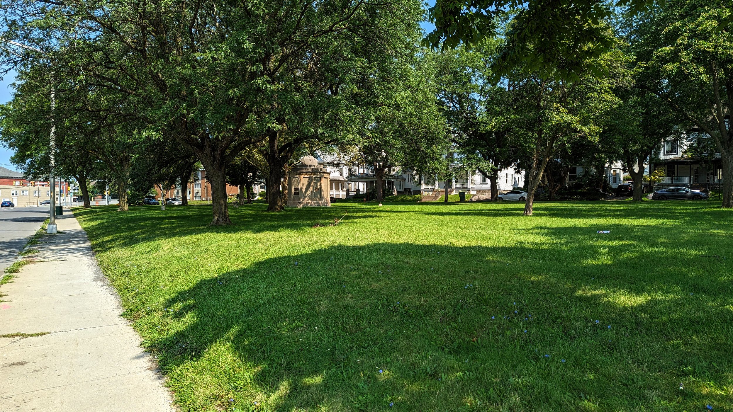
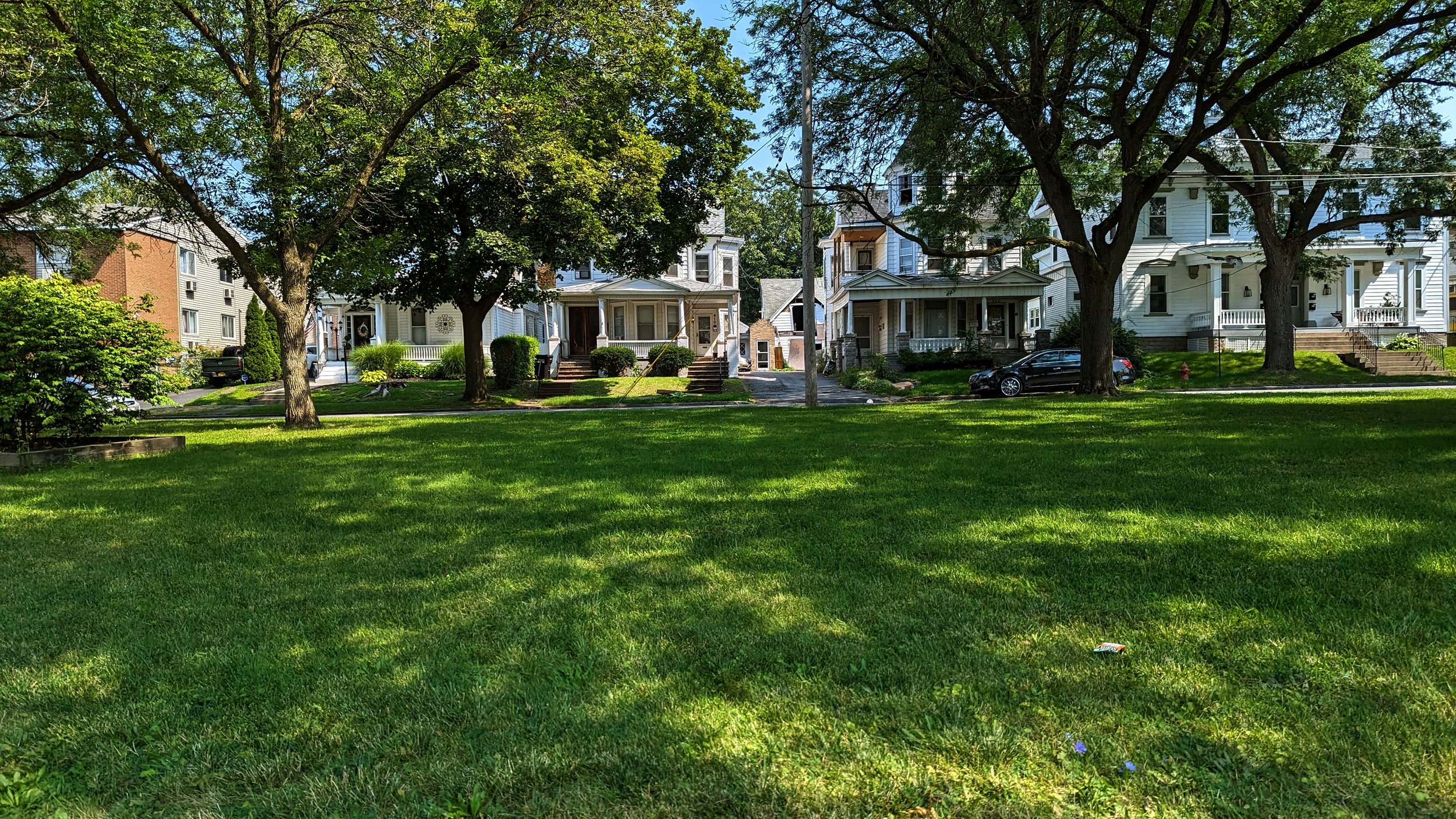
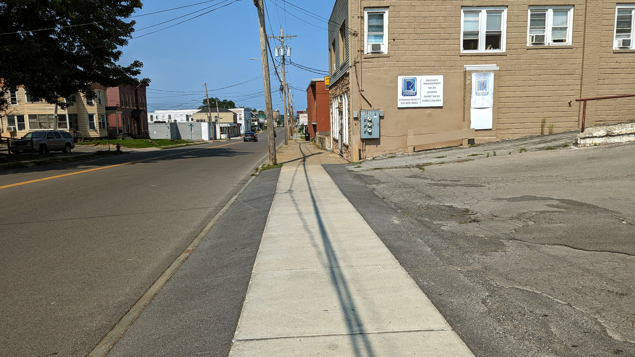
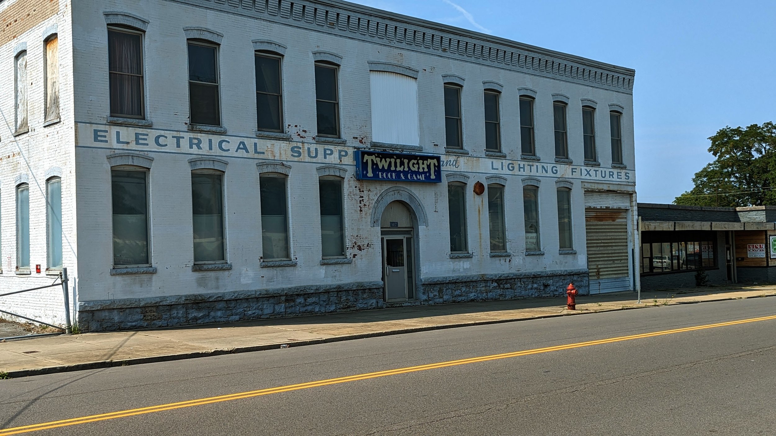
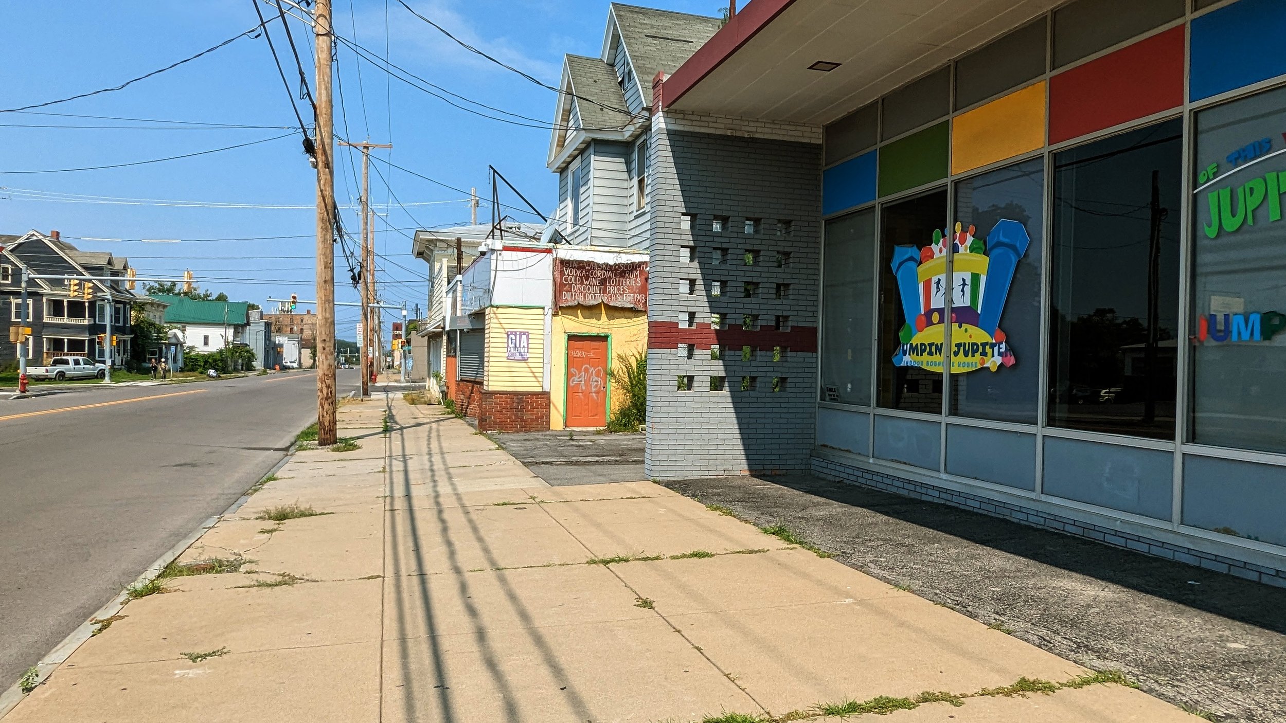
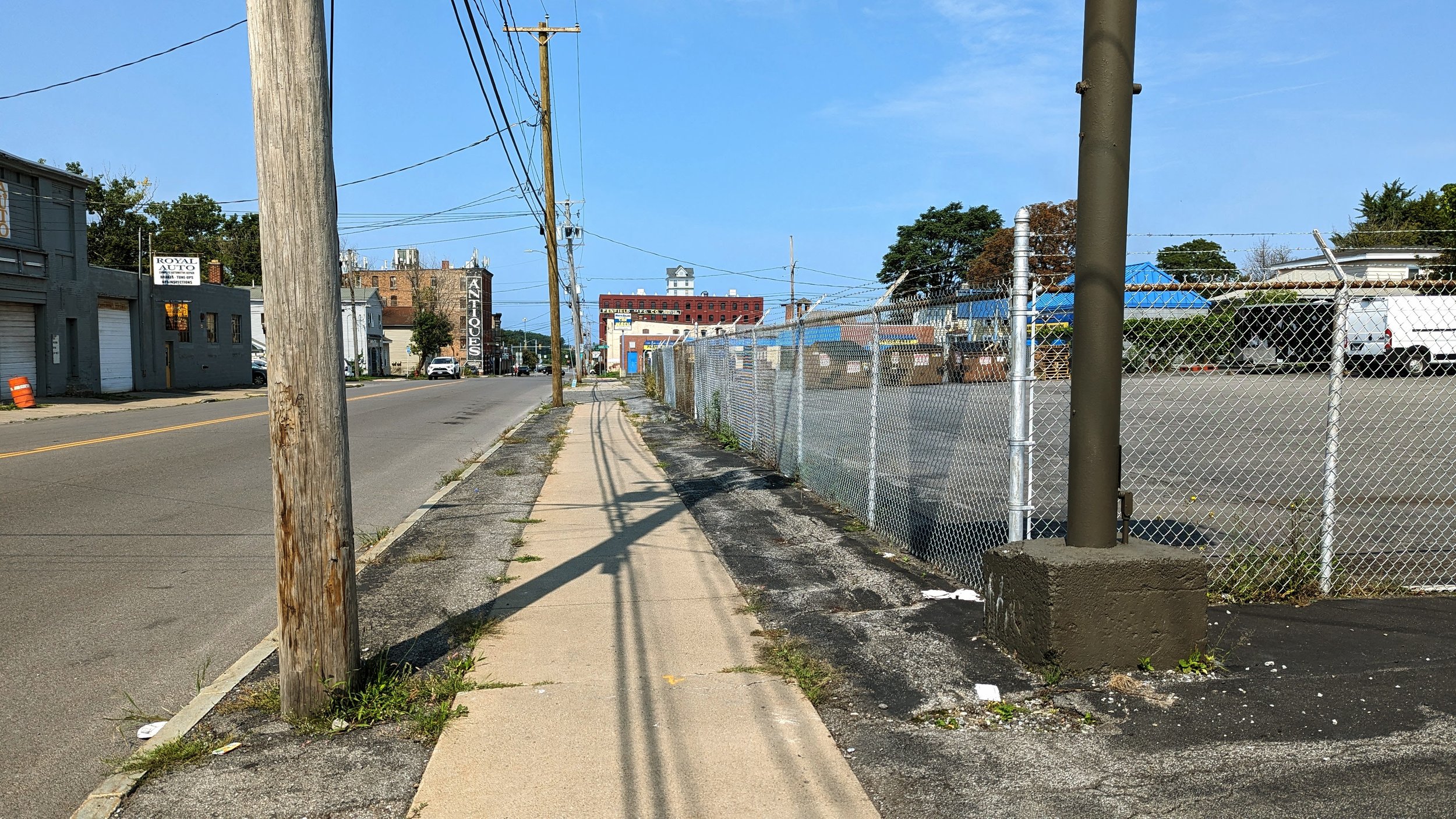
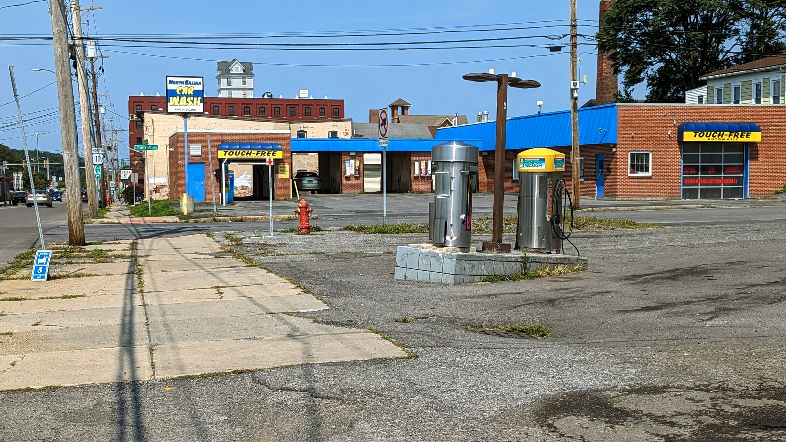
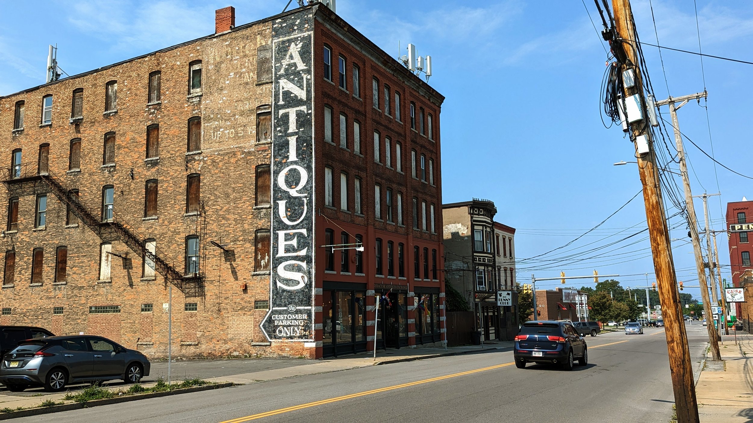
Once you are past Lodi, N Salina St loses much of its historic architecture in favor of auto oriented services, like car washes, convenience stores, and light industrial uses.
A small, well kept green space occupies the block between Danforth St and Court St and offers the only true shade and tree cover in the last half mile of N Salina St. Beyond this neighborhood park, the sidewalks are fairly barren.
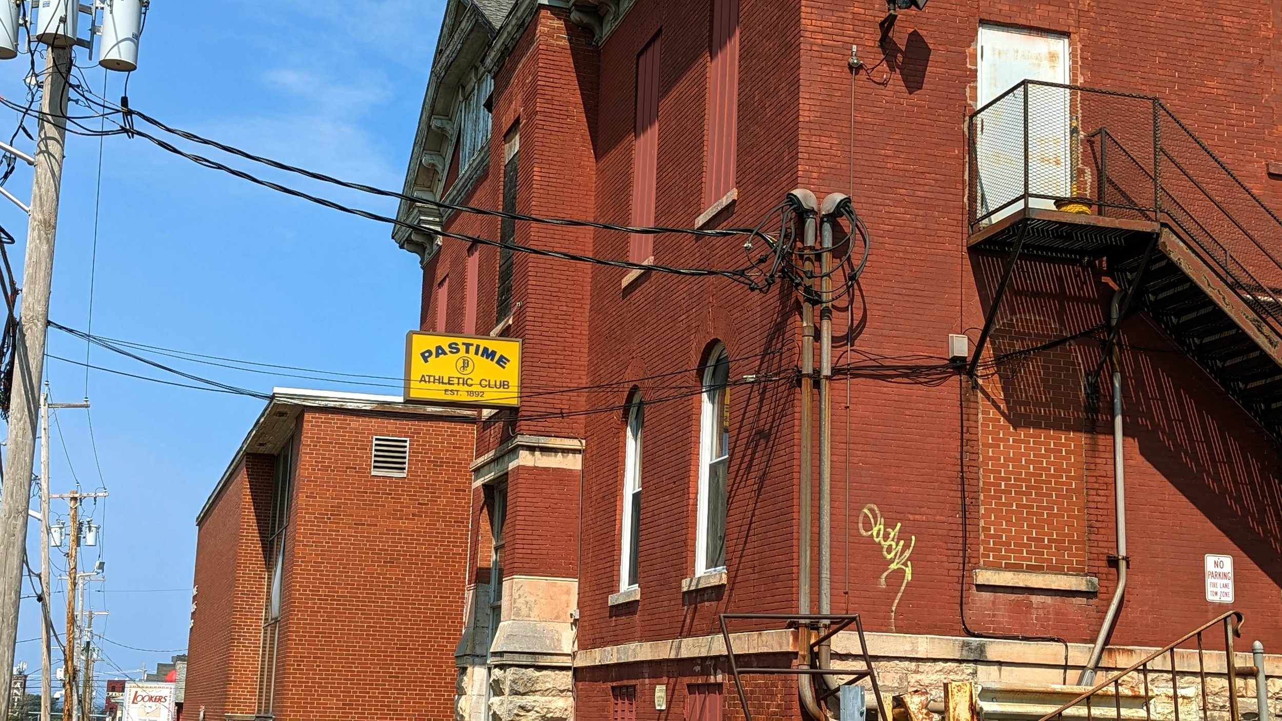
Across Court St, you continue past the Pastime Athletic Club, an athletic club that was founded in 1892, one of the longest running organizations in the City of Syracuse. While the organization has a long history, its impact on the streetscape is minimal. Its former front door is no longer in use, instead pushing members to its back parking lot to enter.
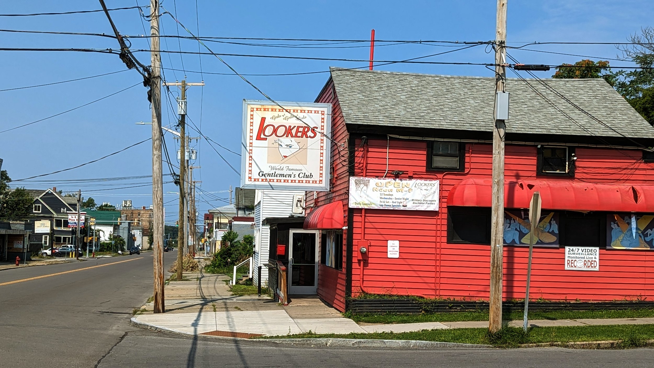
One short block away, you stumble upon the first of many, far too many, strip clubs in this part of the Northside, Lookers. While the business is less than desirable, it is an example of something found throughout Syracuse, and throughout the remainder of this walk - homes turned into commercial spaces. Further down N Salina St you come across an abandoned bookstore and music shop that were both housed on the ground floors of their respective homes. In some circles these types of businesses are referred to as “front yard businesses.” When the housing was dense and most people walked for their daily needs, these businesses thrived. Then, in the 1960s, we began making it harder for these types of businesses to develop, and we instead shifted our focus to national retailers in car oriented plazas on the edges of our urban area.
Wolf St (N Salina to Carbon St)
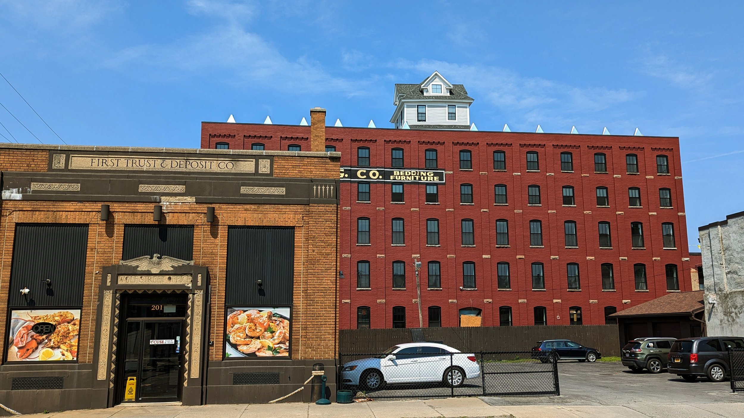
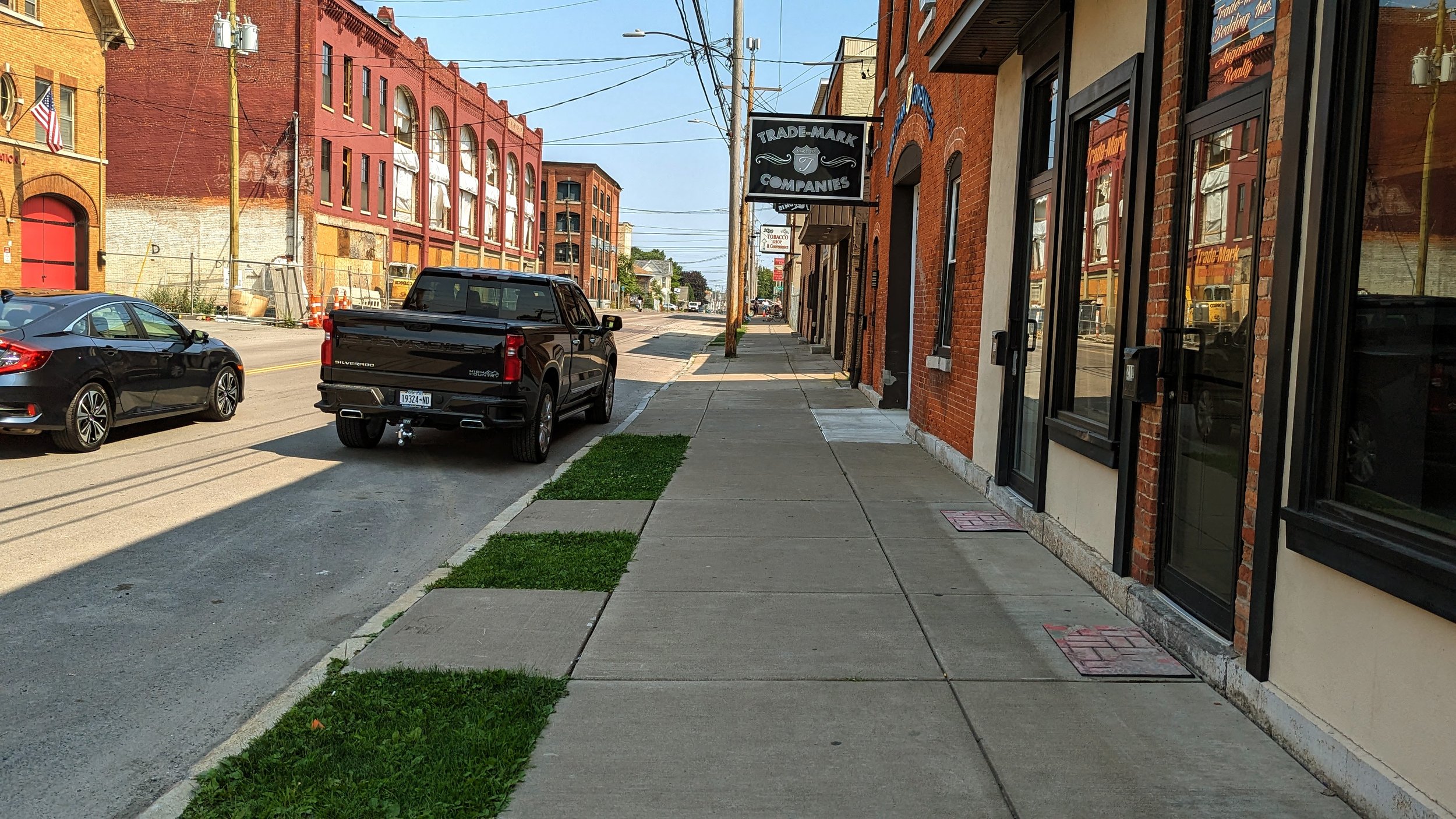
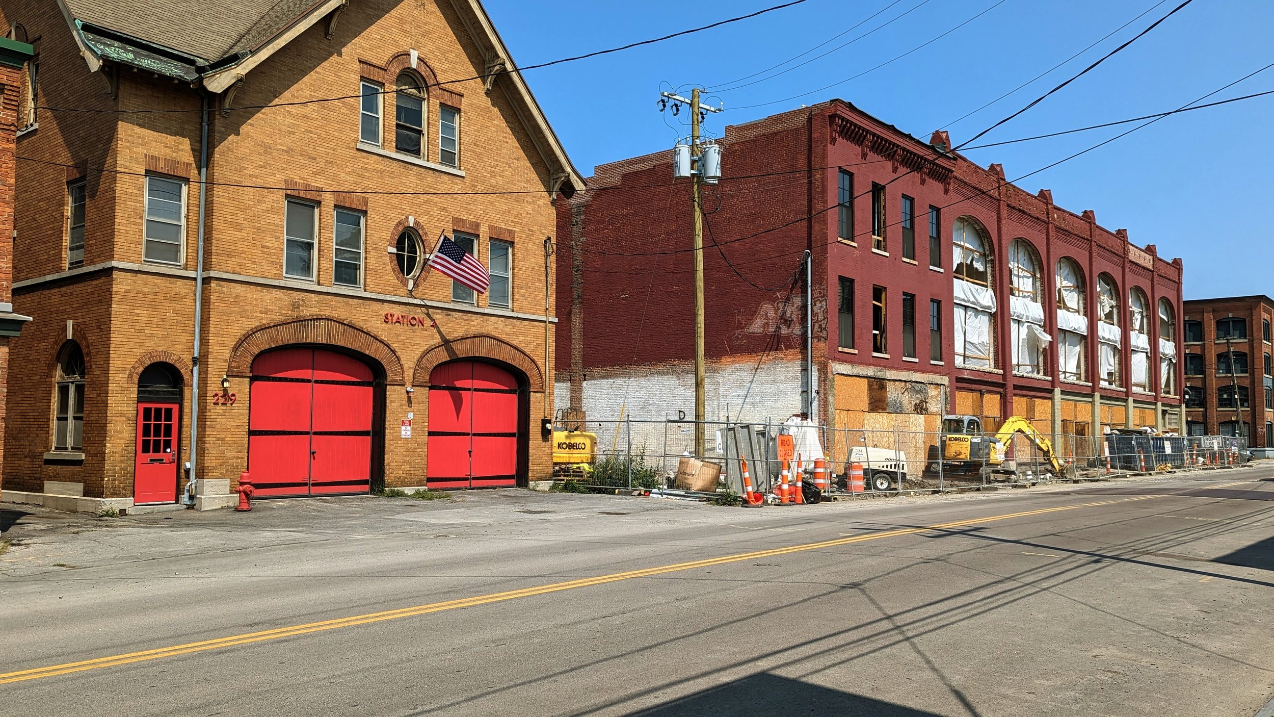
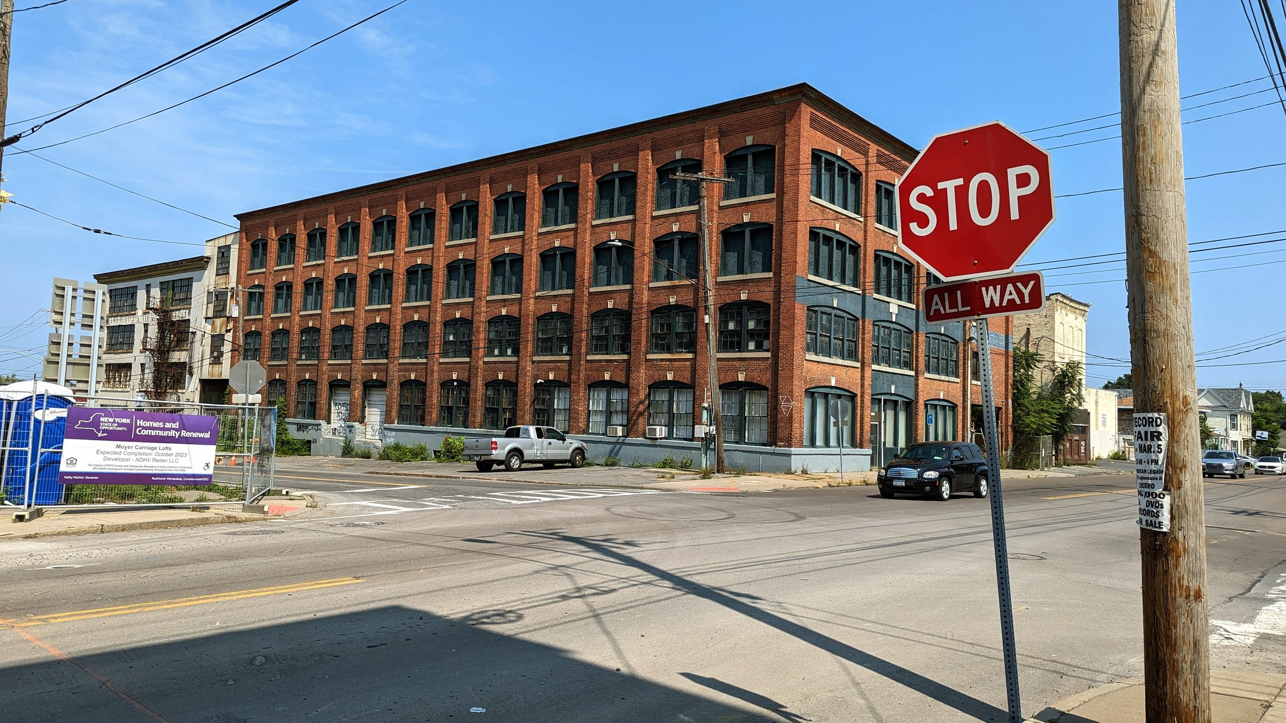
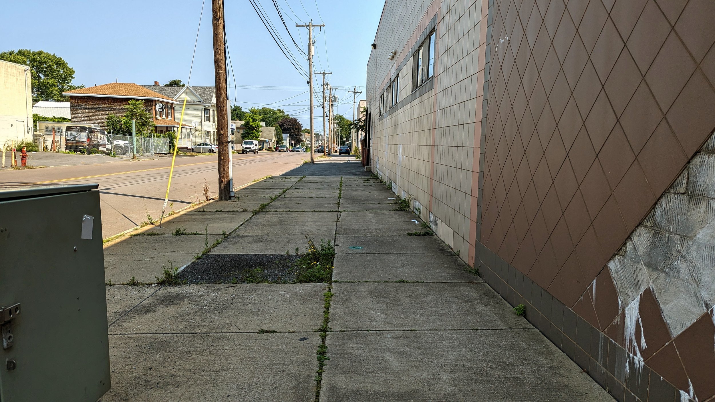
As we approach Wolf St, we re-enter a more historic architectural space, anchored by the Syracuse Antiques Exchange and the former H.A. Moyer carriage factory, which is in the process of being renovated into apartments. Due to the car oriented developments leading up to this intersection, the former warehouses and factories seem to spring out of nowhere. Today, the intersection is filling in, with Cuse Catch occupying a former bank and the gradual redevelopment occurring around it. At the same time, strip clubs and bars also fill the space. But Wolf St has the potential to be a true neighborhood center that other neighborhoods in the City could only dream of, and it is thanks to the historical industrial bones it is built on.
I have written previously about the potential of this area, including promoting the idea of the old industrial buildings being repurposed as a brewery center. Since then, new construction has begun, with several of the older buildings being converted into residential units, including units for individuals with disabilities and a broad range of affordability. Developers aim to fill the ground floor with commercial spaces, which can be an opportunity to not only serve the immediate community but also can become a destination if properly connected well to the nearby Regional Market, NBT Bank Stadium and Destiny USA.
The wide sidewalks lend themselves to pedestrian activity, including sidewalk cafes and outdoor dining, yet some of the remaining industrial uses, namely Roma Tile & Marble, currently use the space to load in and out of their facilities. We should encourage this activity to continue, but it may be worth looking at restricting freight movements to morning hours, freeing up the sidewalks during the busier afternoon and evening hours.
Wolf St (Carbon St to Grant Blvd)
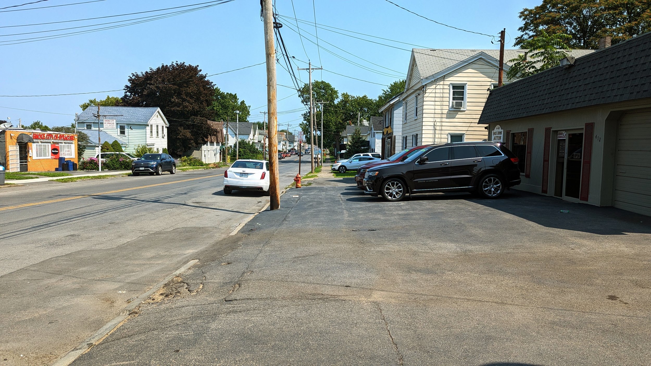
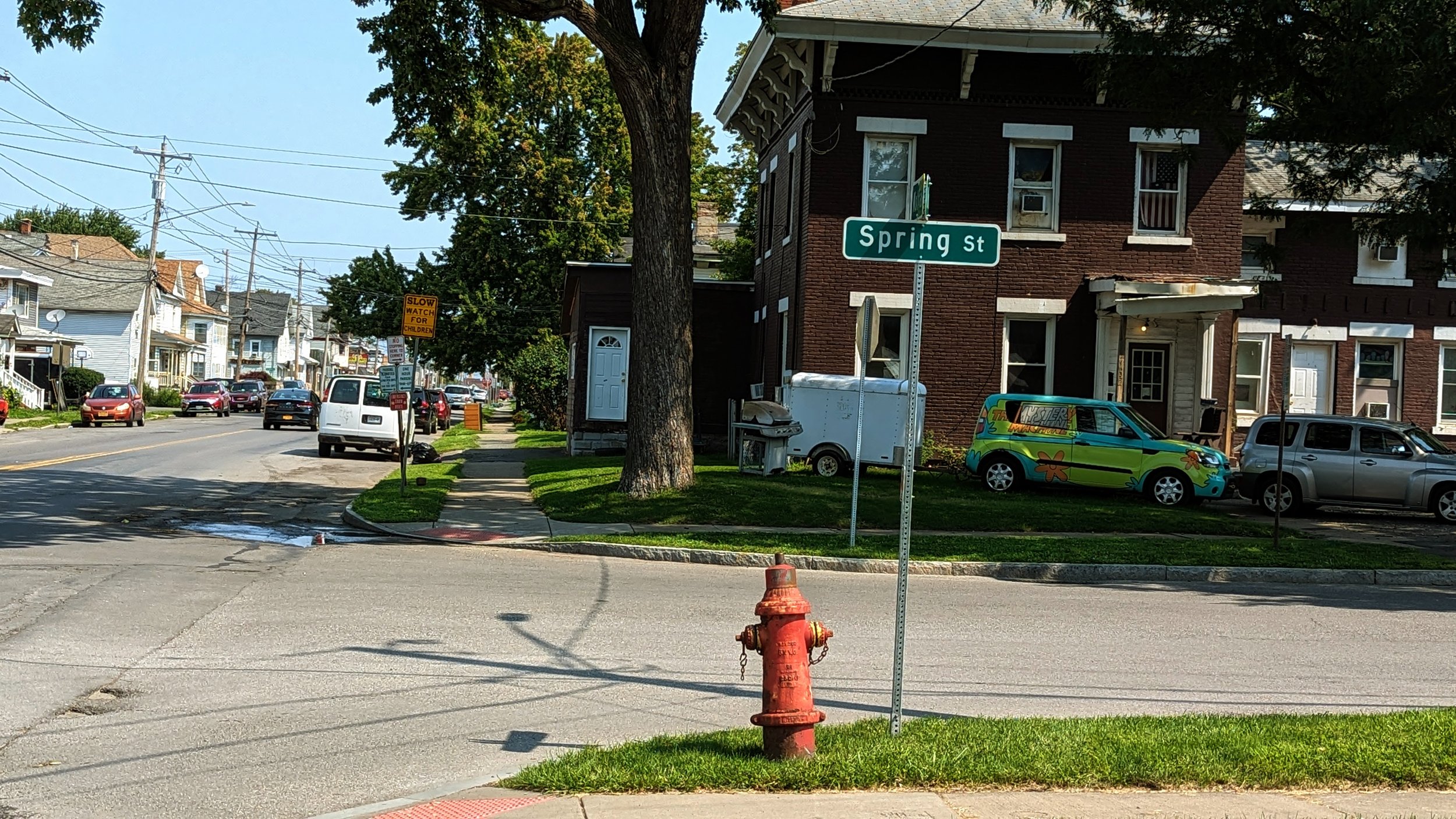
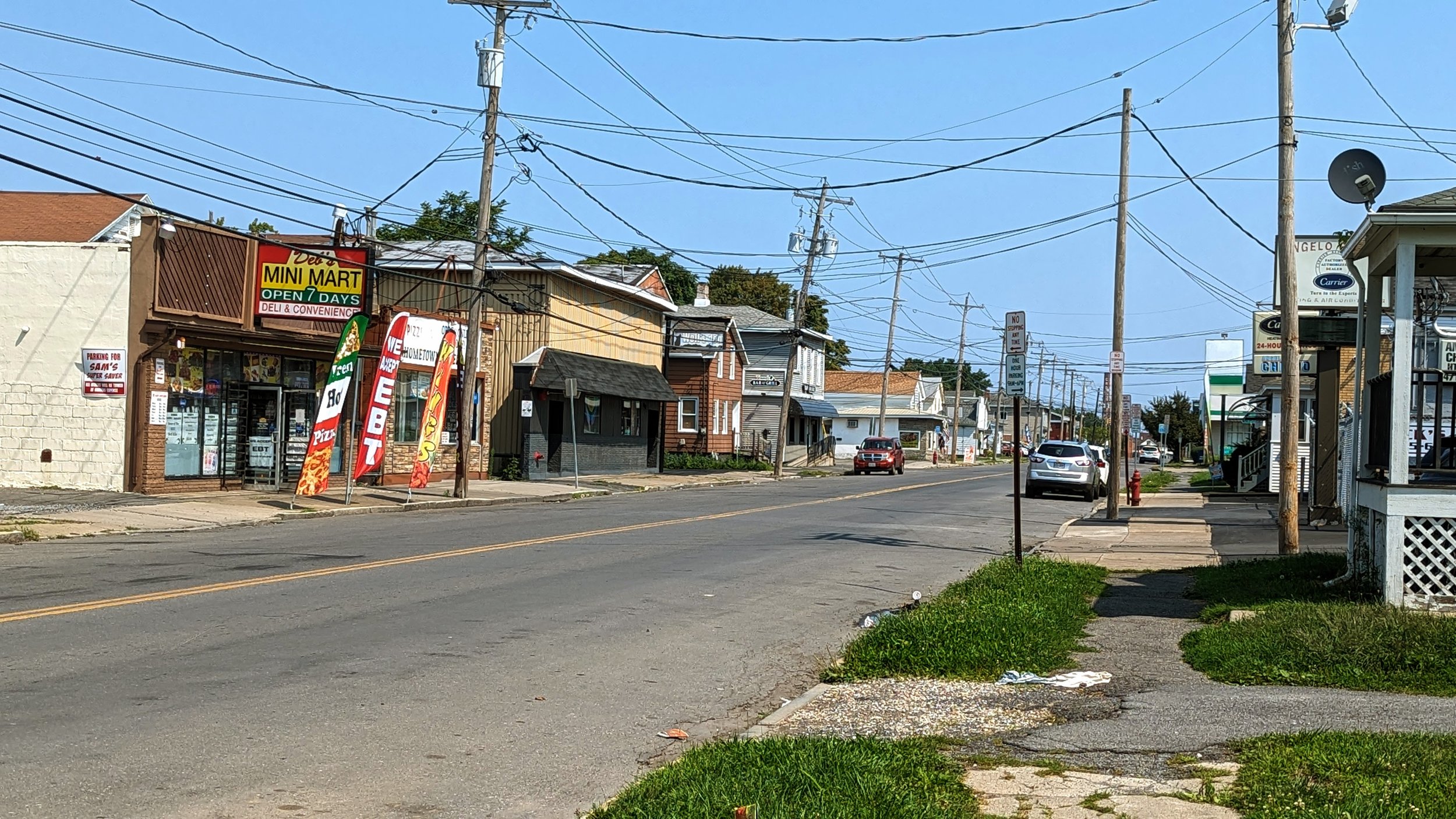
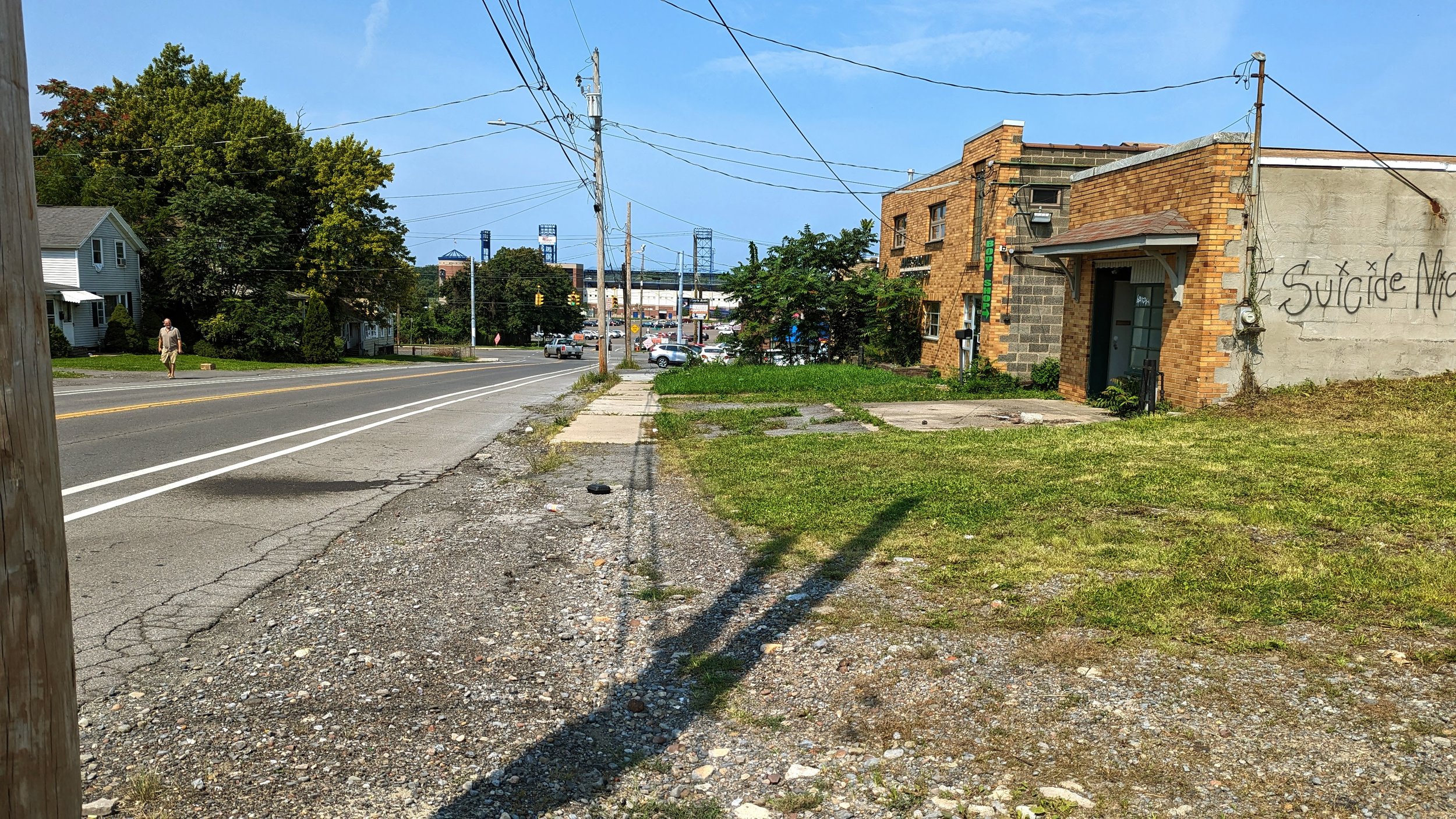
Beyond Carbon St, the sidewalk narrows with dense housing close to the street, setback only a few feet from the sidewalk. Mixed in with the housing is a variety of commercial spaces, primarily convenience stores that use the sidewalk, or really just the space where a sidewalk should go, as pull-in parking. While it is great that these commercial spaces exist, they are often being used in duplicative ways. While the area may not need a full on grocery store with Regional Market only a block away, a plethora of convenience stores make less desirable goods, like alcohol and cigarettes, much easier to access than the healthy food only available two times per week at the market.
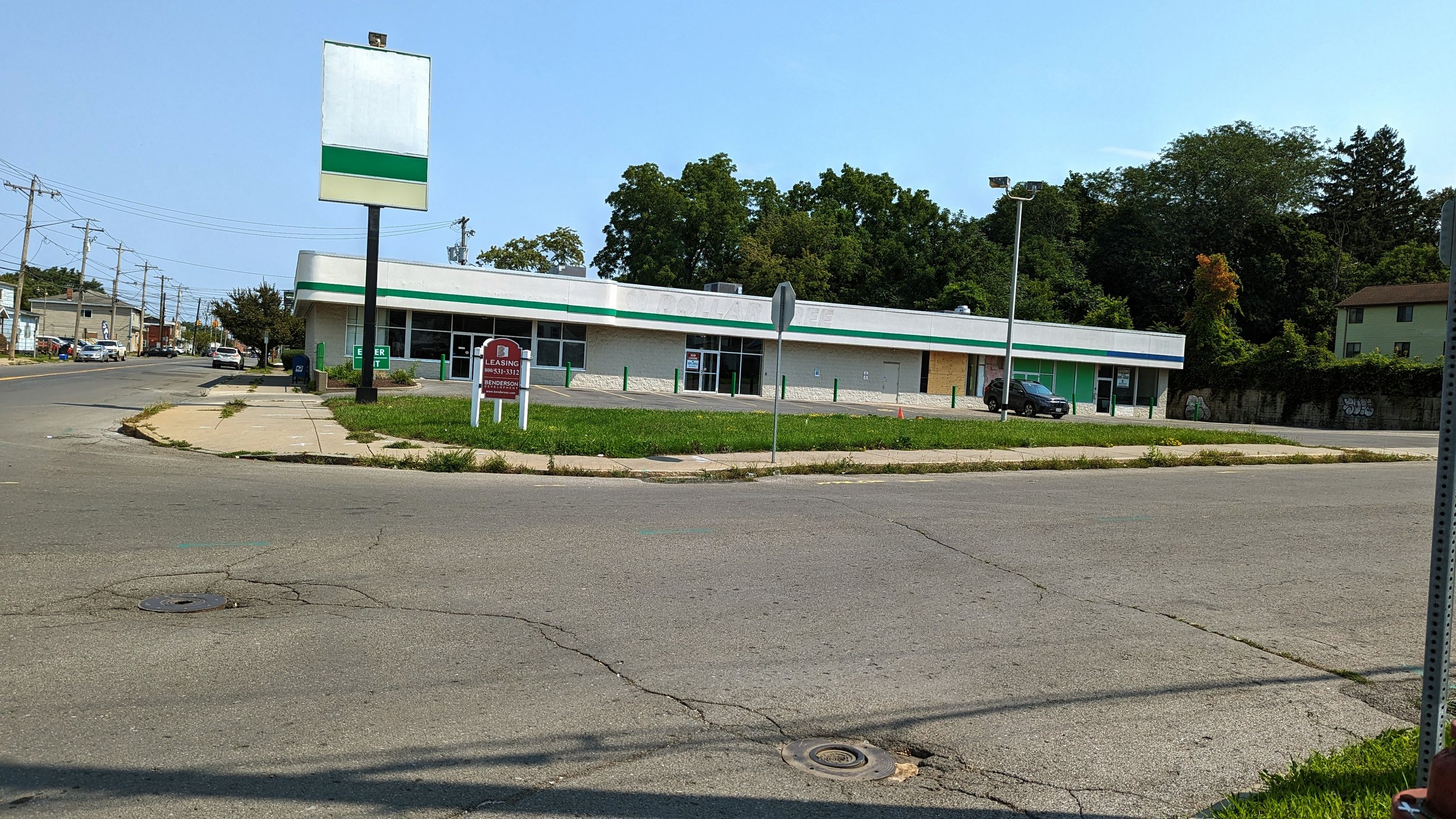
Further down Wolf St, a vacant storefront, previously a Dollar Tree, could be a prime location for a neighborhood grocery. But we should look to do more with this space, and all neighborhood grocery stores. We should look to add housing on top of these facilities, ensuring easy access to fresh food, and promoting the ability to get daily needs without a car. As noted in the SMTC’s RTC / Market Area Mobility Study, over 38 percent of households do not currently have access to a car and we should be focusing our efforts on bringing in development that promotes access to those on foot.
While that study does not focus on Wolf St, many of the same observations hold true. The sidewalks are busy by Syracuse standards, with many others on bikes. This is not a car dependent neighborhood, yet we have not built spaces that are comfortable to walk on. Sidewalks are narrow, street trees are rare, and traffic is primarily passing through instead of heading to the neighborhood.
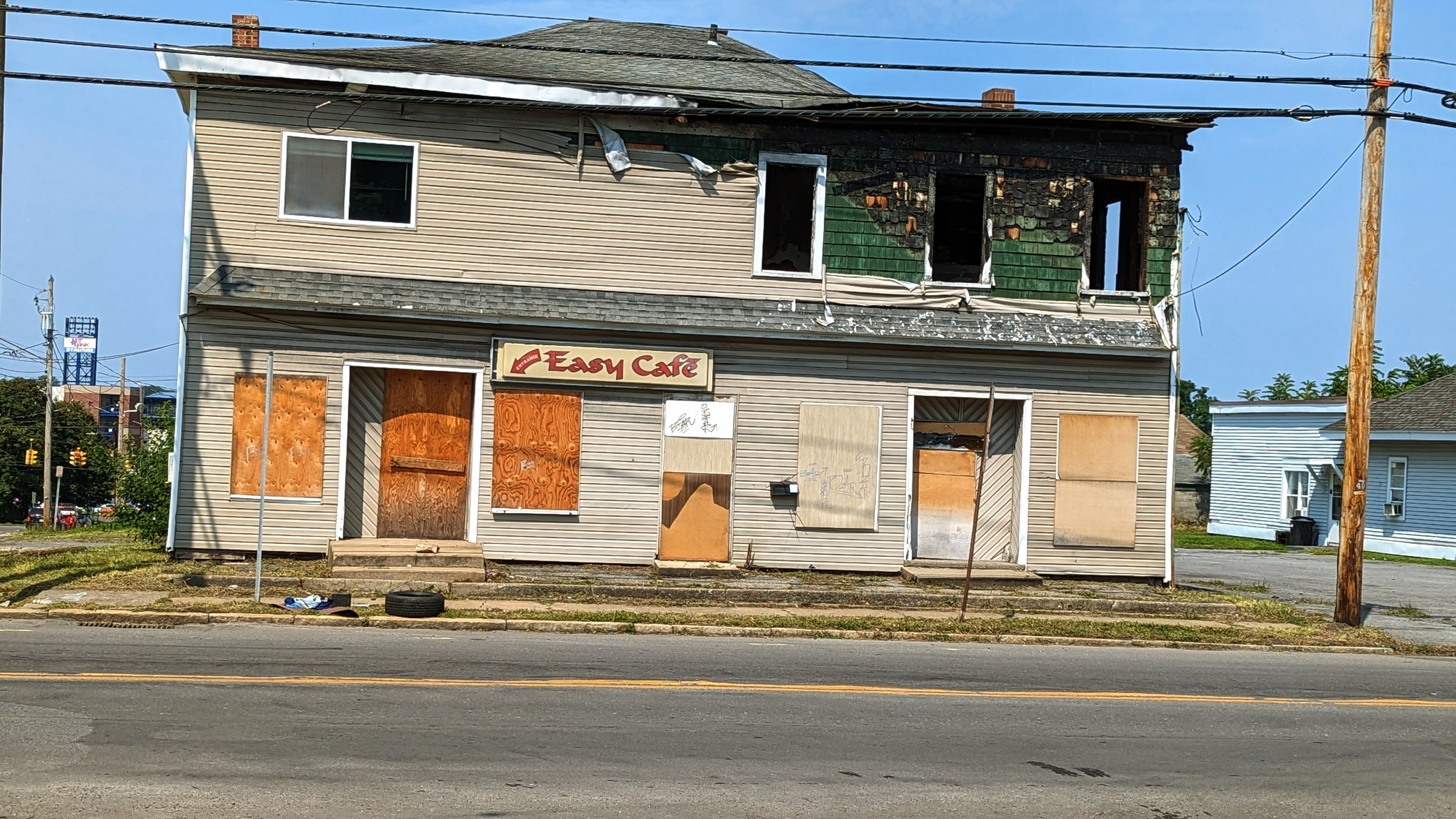
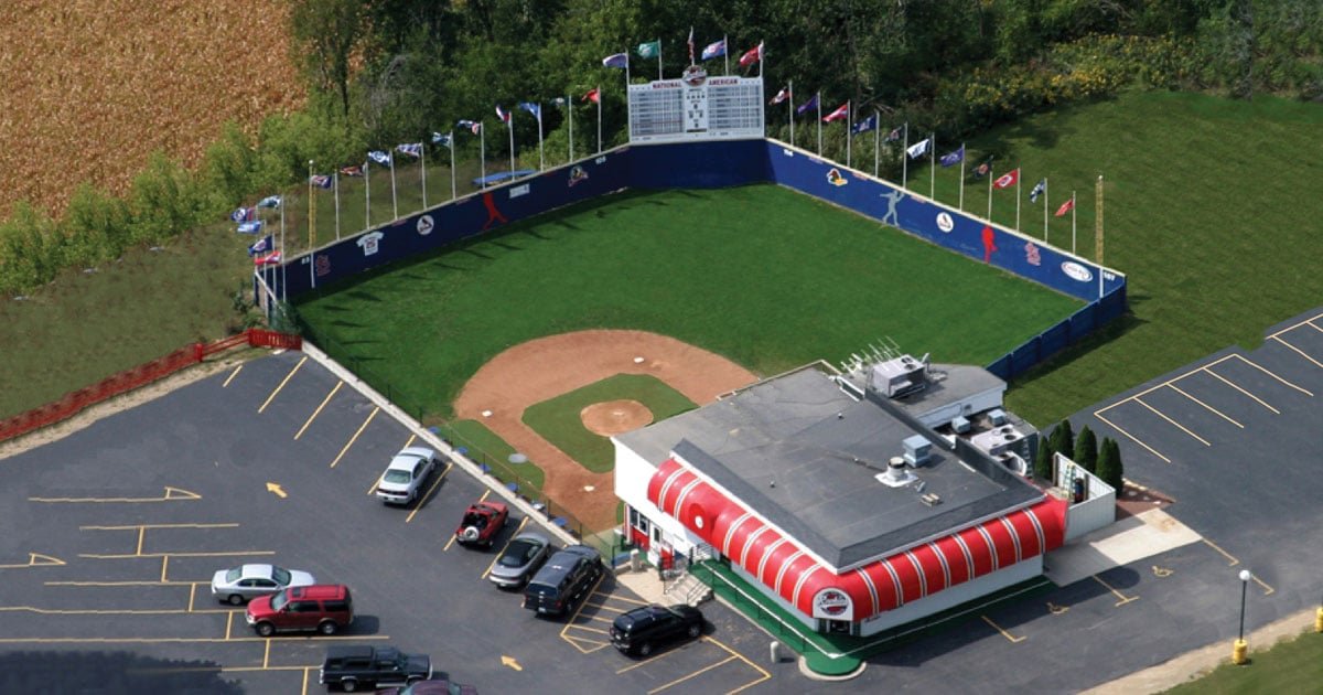
Further north, on the way to the ballpark, sits the former site of the Easy Cafe. Prior to the bar burning down, it was already a missed opportunity. As one of the only bars within easy walking distance of NBT Bank Stadium, it could have been, and should have been, a great place to grab a drink or bite to eat before a game. Instead, it did not open itself up as a welcoming space to many. Part of the reason may be its neighbors. Two small car dealerships and a gas station occupy the other corner locations. Such auto-oriented commercial spaces deaden the space and make it unpleasant to walk as you must navigate between cars parked up to the curb and watch for drivers pulling in and out. Due to these constraints, rebuilding the bar and making it a gameday destination will require an owner to go big. A dream of mine would be to see a wiffle ball bar open up near the ballpark, similar to Rookies in Wisconsin. By making the bar its own destination, it may be able to overcome its difficult neighbors and help bring baseball further into the neighborhood. As I have mentioned many times, baseball is an urban sport, and we should find ways to connect the team into the neighborhood as often as possible.
Into the Ballpark
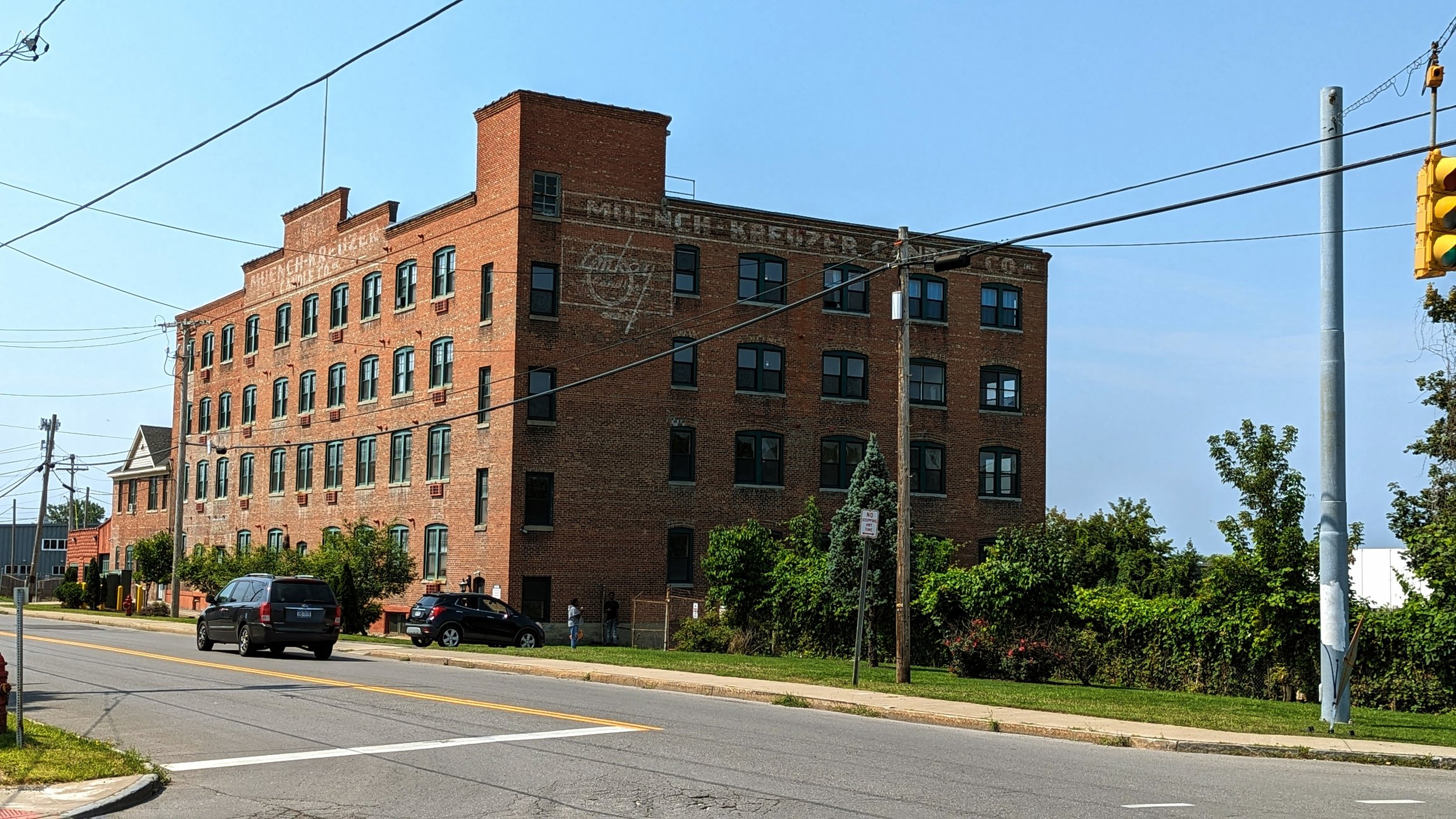
Building these connections must also include Hiawatha Blvd. While for this trip I took the route down Wolf St, most often I find myself walking down Hiawatha on my way to a game. Hiawatha experiences many of the same issues as Wolf St: narrow sidewalks (where they exist), industrial and auto oriented uses that create conflicts, and a lack of tree coverage.
One highlight of Hiawatha Blvd is the Hiawatha Heights Apartments, which converted an old industrial building into apartments within the last decade. The building helps to bring life to a beautiful old building while offering views of the ballpark. It is an example of what should line this entire corridor, and ideally stretch towards the ballpark itself. In 2012, the Hiawatha - Lodi Brownfield Opportunity Area (BOA) Plan identified a need to develop Hiawatha into a mixture of industrial, commercial, and medium to high density residential to create an active neighborhood on a year-round basis. This includes improving pedestrian facilities and crossings, where currently none exist.
And this goes beyond Hiawatha and into the ballpark grounds.
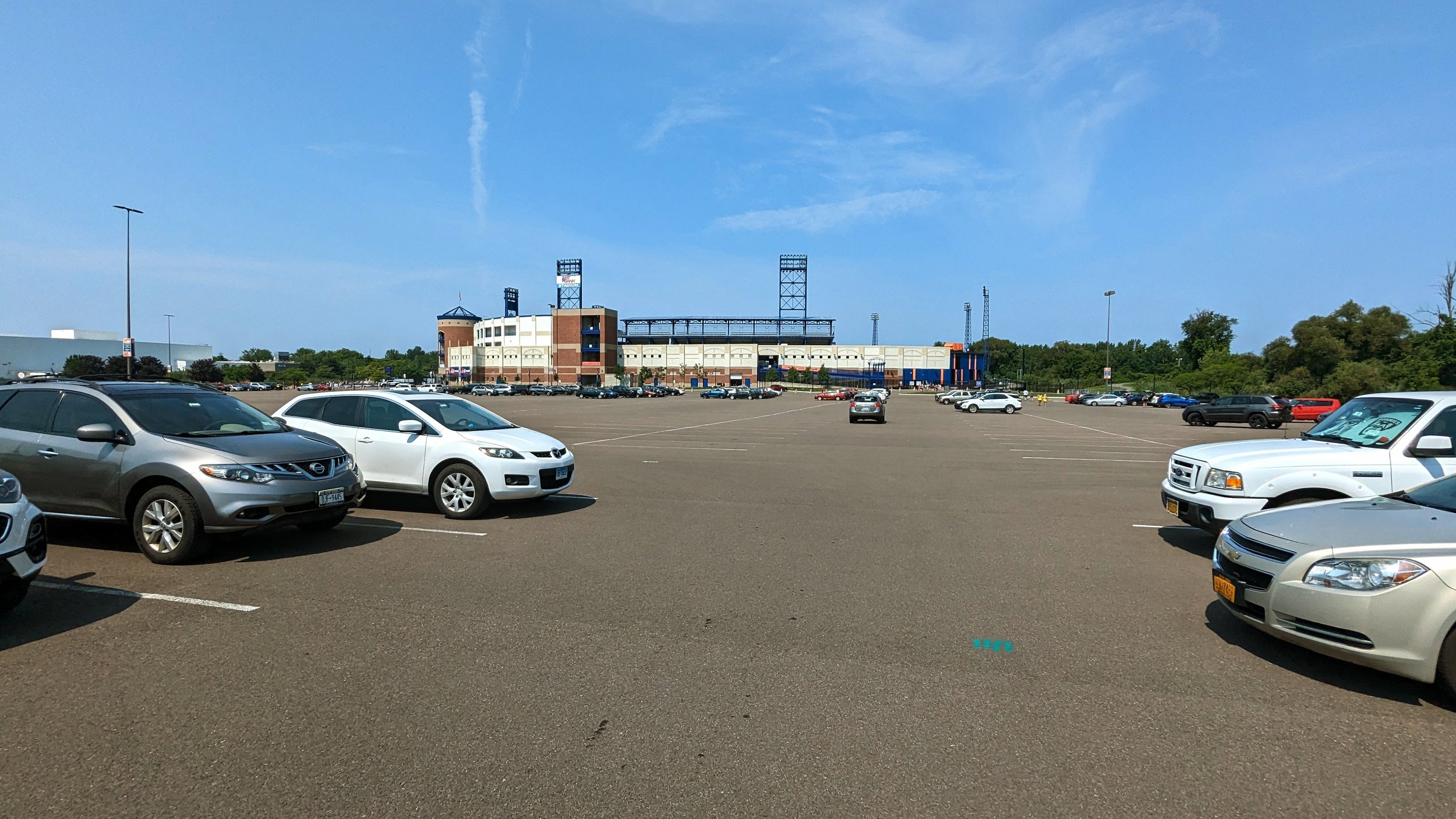
In 2020, Onondaga County renovated NBT Bank Stadium, including paving the large parking lot that separates the ballpark from its nearest neighbors. I have long advocated that the County should open up this land for redevelopment, which is now even less likely after this round of asphalt investment. While I will continue to advocate for these changes, a short-term improvement that can be made is the installation of pedestrian facilities through the parking lot. Currently, only one painted pedestrian path exists off the N 2nd St entrance. Building out a sidewalk network, mimicking city blocks, would be a step in defining future blocks for development while immediately improving walking access to the ballpark.
While this series is focused on walking and improving access for those of us on foot, I do think it is important to call out the sheer lack of bicycle parking facilities. As a County park that is located in an urban neighborhood, there is no excuse for not providing bike corals and other secure bike parking facilities at multiple locations outside the ballpark. The City of Syracuse recently installed buffered bike lanes that lead directly into the ballpark from Grant Blvd, yet cyclists are left to chain their bikes up to lights in the parking lot or to gates surrounding the stadium. To better improve this accessibility, we need to offer people safe places to store their bikes, much as we provide excessive amounts of storage for cars.
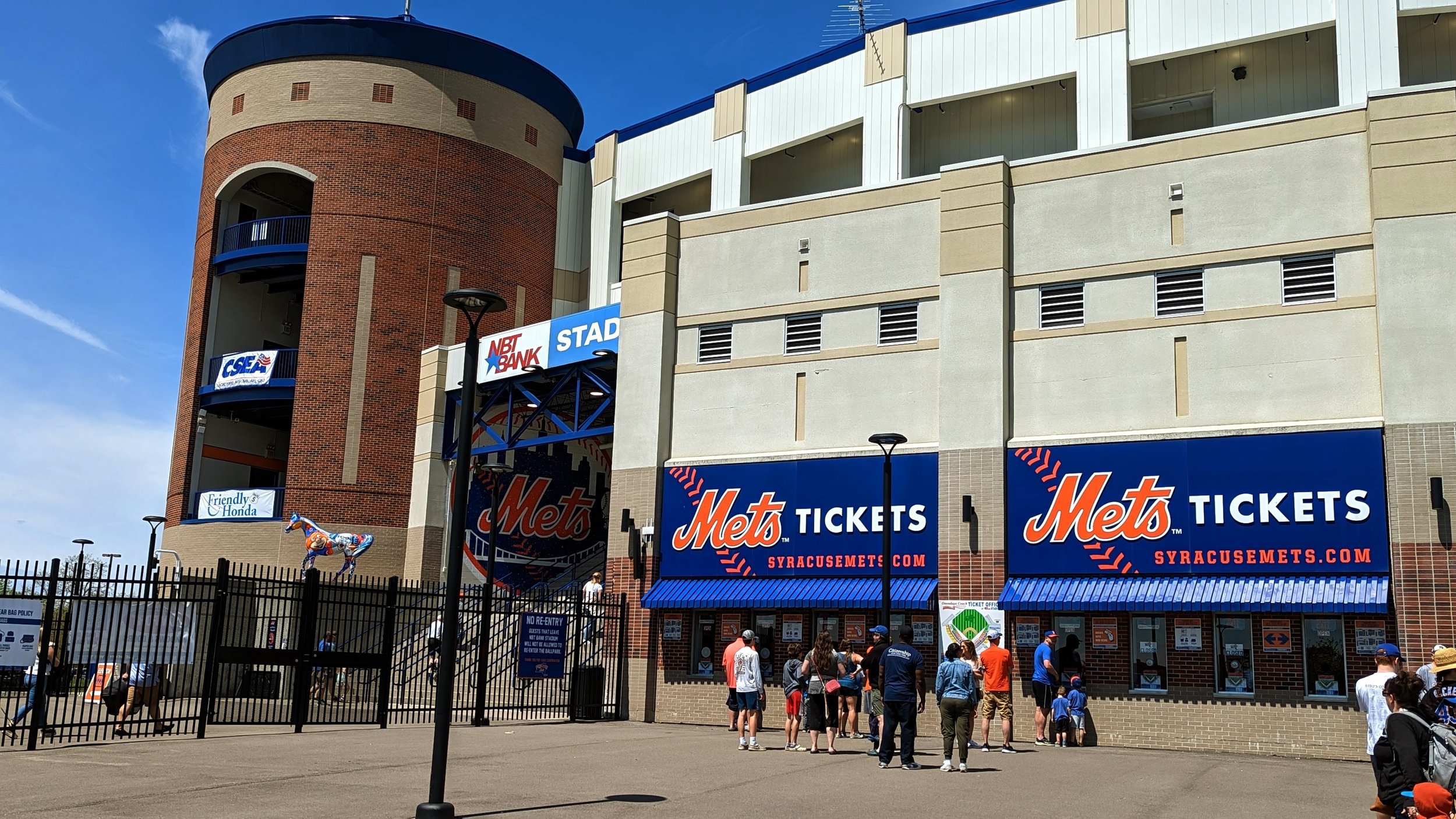
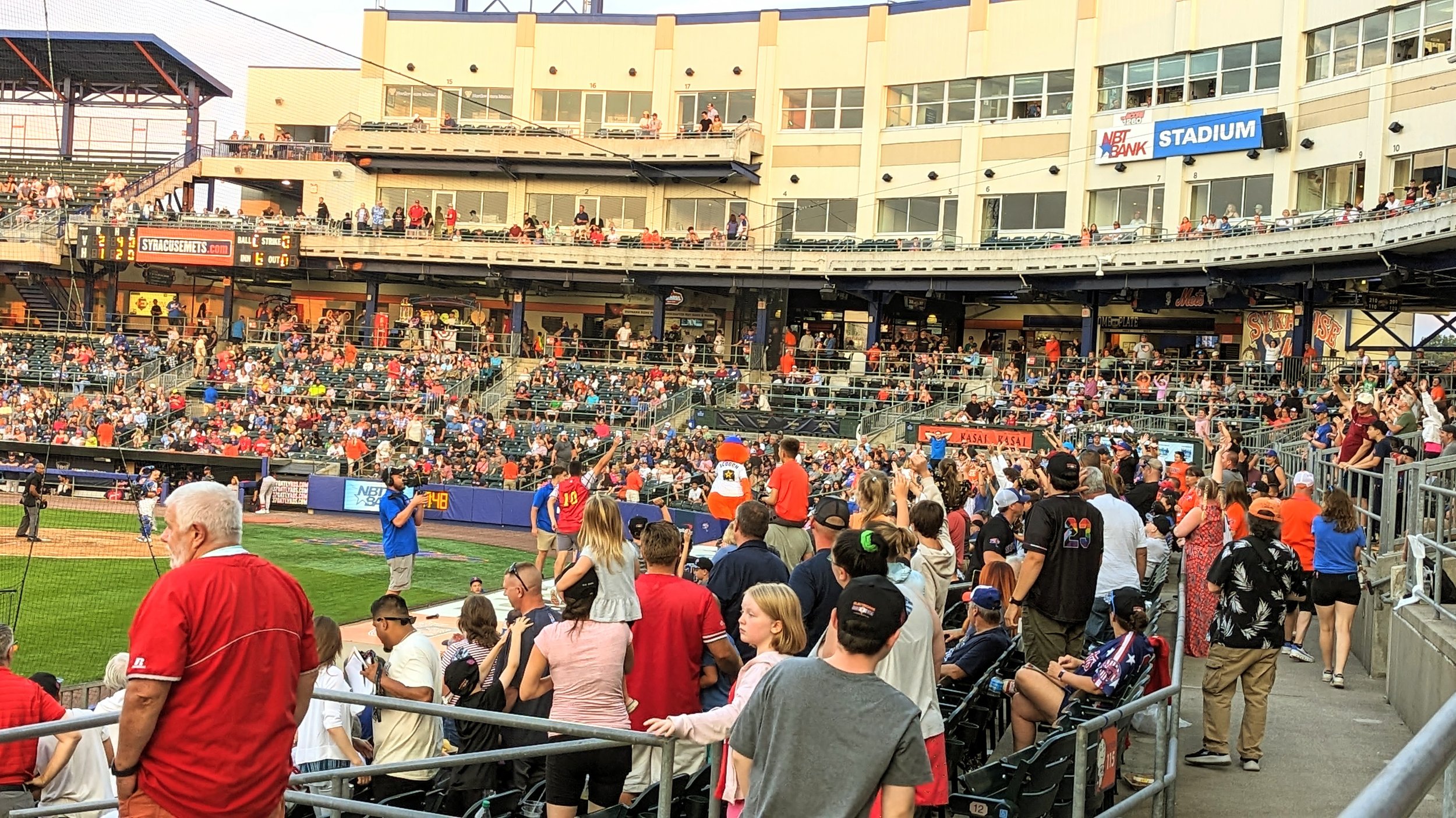
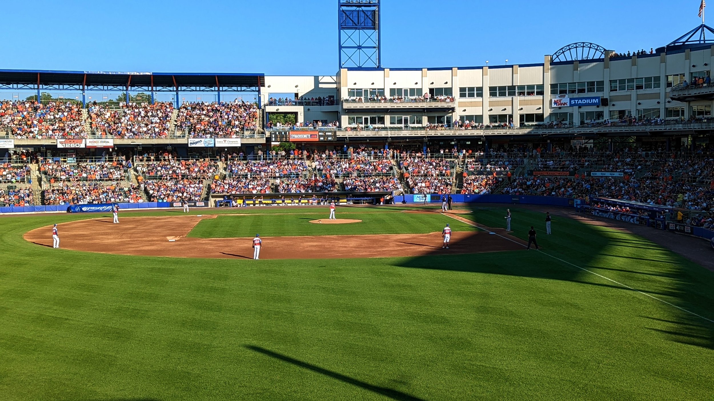
And as you make it across the final asphalt sea, you approach a true beautiful minor league ballpark. For all the faults of the location, and its lack of pedestrian access, the ballpark itself is a true gem for Syracuse. It is time for us to bring the ballpark into the City by bringing the City to it. Encourage fans to walk, bike, or take transit when possible. Give fans places to hang out before and after games that keep them in the neighborhood. And build up the neighborhood around the park and strengthen its connections to the team.


