The Walk is a series of blog posts dedicated to documenting the current experience of walking between Downtown Syracuse and its surrounding neighborhoods. The purpose of these pieces is to highlight the importance of connections between neighborhoods. Small pockets of walkable spaces exist throughout the City, but there are large gaps between each. Building out safe, pleasant, and convenient routes between the City center and nearby neighborhoods is a great place to start.
Every July, St. Patrick’s Church holds its annual Irish Festival. Filled with music, food, and, of course, Irish beer, the festival is a great place to spend a few hours on a warm summer weekend. Who doesn’t love to hang out and have a few drinks with friends? And yet, many of us choose to drive to get there. During its busiest hours, cars line the neighborhood streets for blocks around the church. Should everyone who just spent a few hours drinking really get behind the wheel to head home? Ubers and Lyfts are options. The bus can be too, if you’re there during service hours.
But why not walk?
From Downtown Syracuse, the walk is just under two miles and nearly a straight line down W Fayette St. So, on a sunny Saturday afternoon, we took a walk.
The Downtown Walk
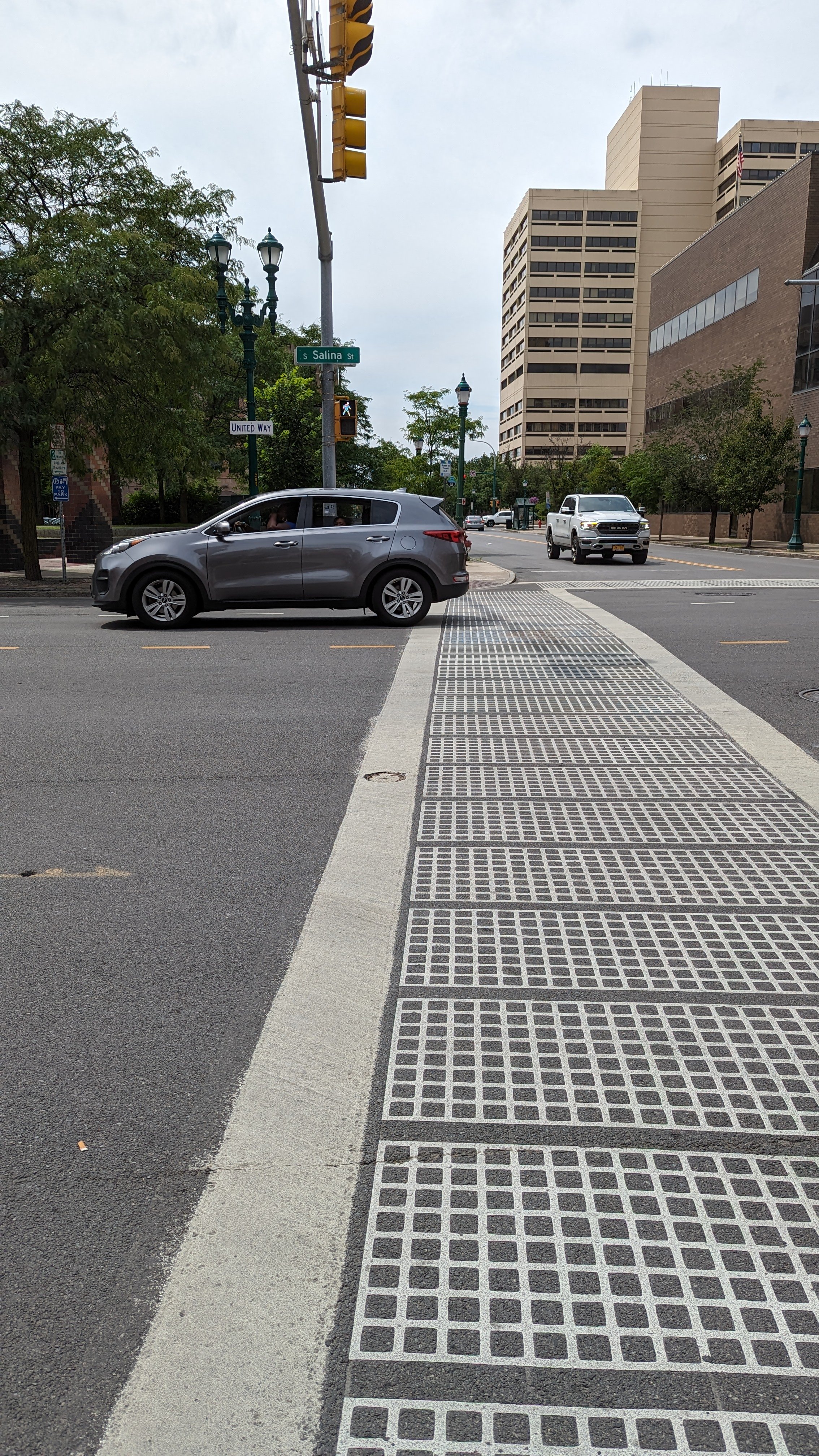
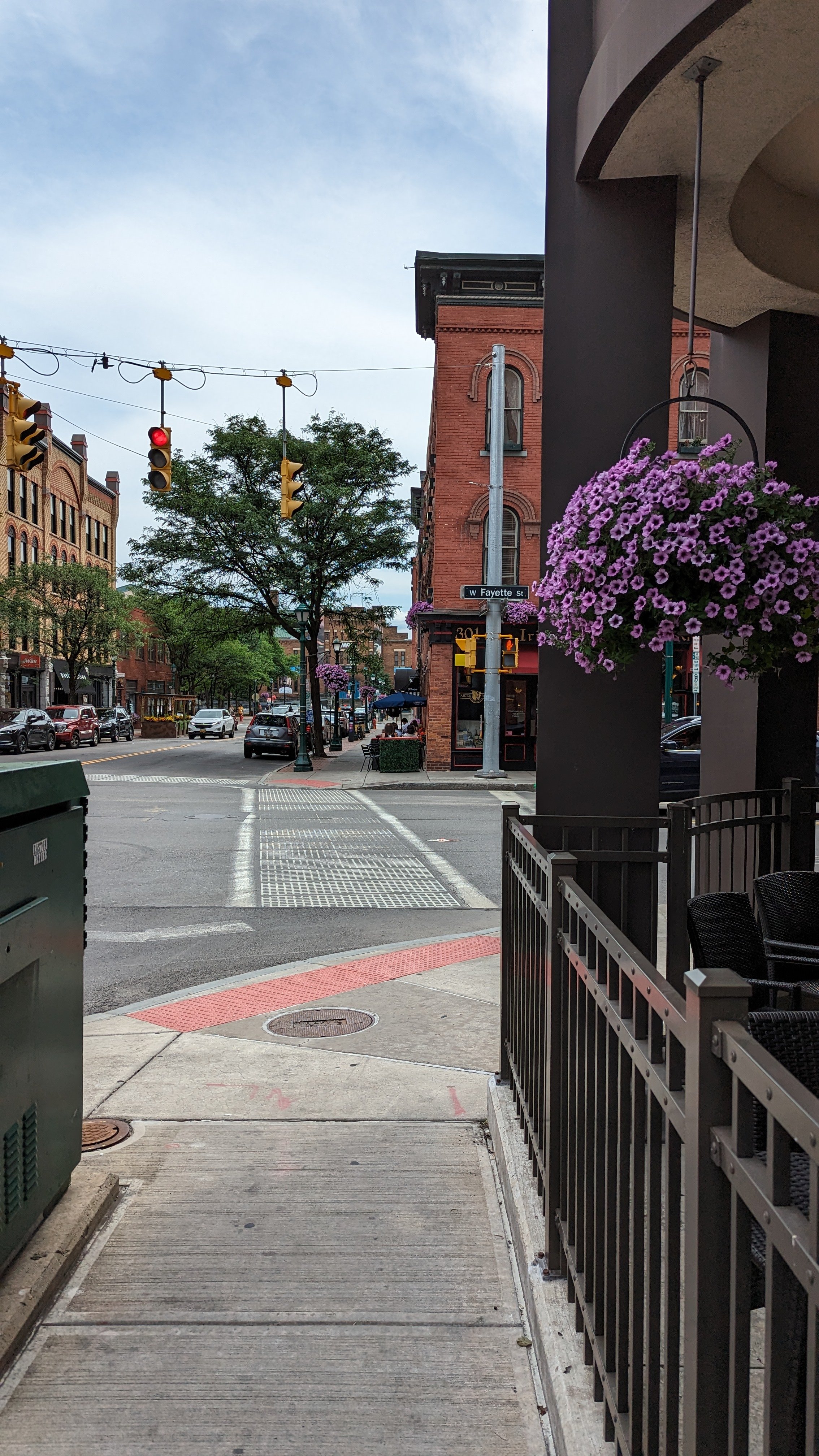
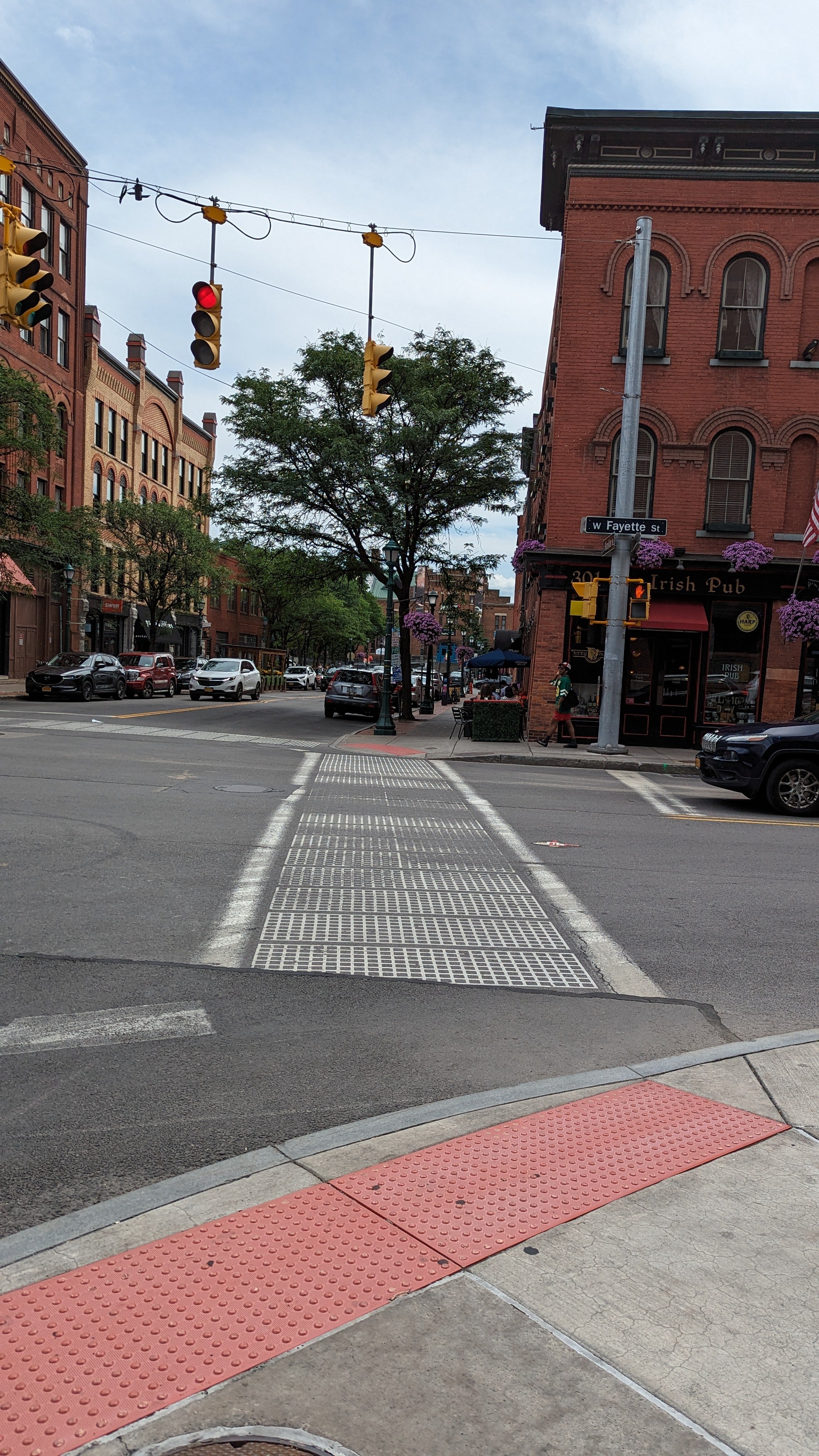
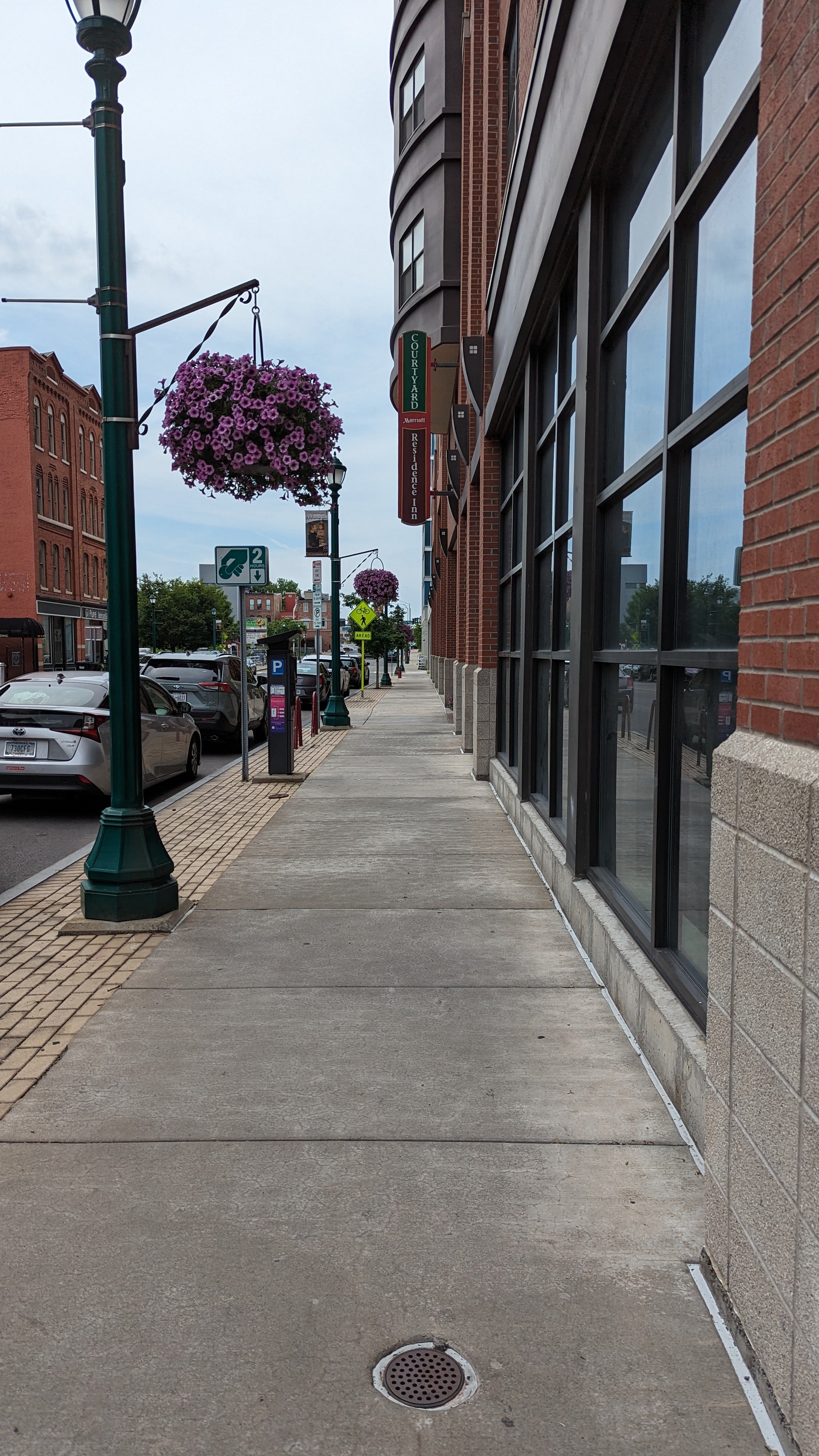
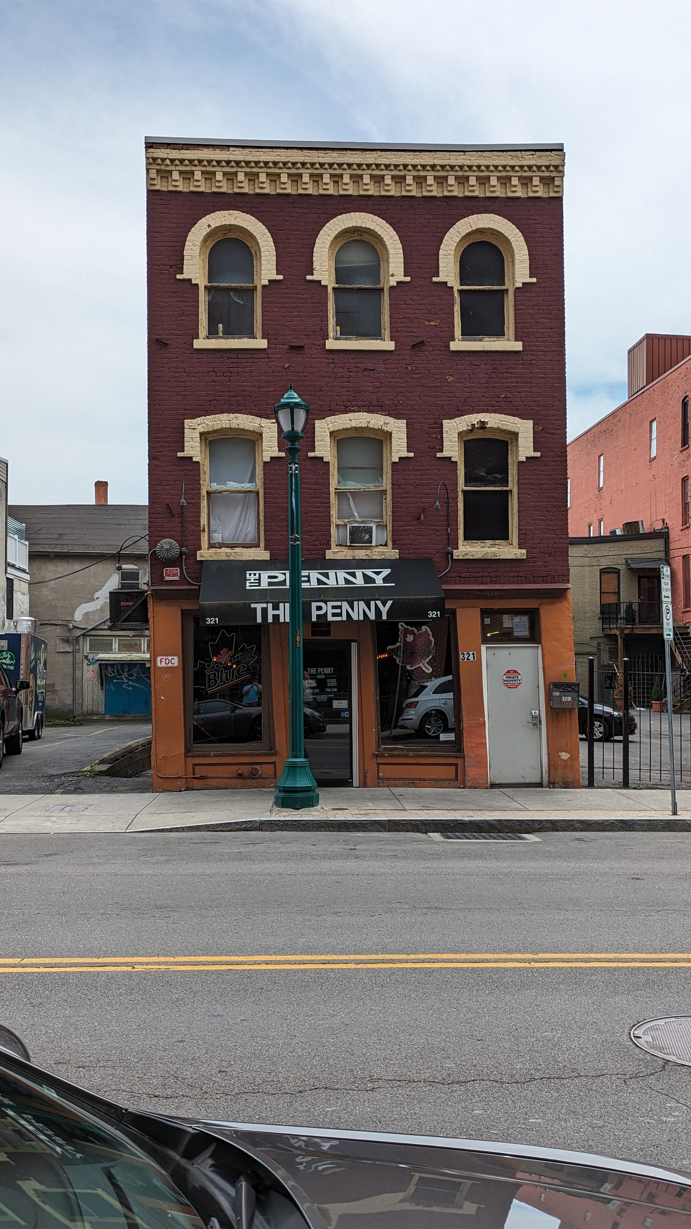
Fayette St through Downtown Syracuse is typically filled with activity. Bars and restaurants line the street from S Salina St west to West St. Wide sidewalks provide ample space to walk alongside outdoor dining setups. The Downtown Committee hangs flower pots from the pedestrian sized street lighting each summer, bringing color and nature to an urbanized space.
When you walk down the street, the architecture that forms the street wall is built with pedestrian movements in mind. Large windows opening to first floor businesses, with three to four floors of residential or office spaces above, provide visual interest as you walk by. Generally speaking, Downtown streets are fairly narrow with pedestrian signals that line up with the traffic signals, ensuring safe crossings in the busiest pedestrian areas. At W Fayette St and Franklin St, people on foot are given a dedicated crossing time, stopping all cars to make crossing easier and safer.
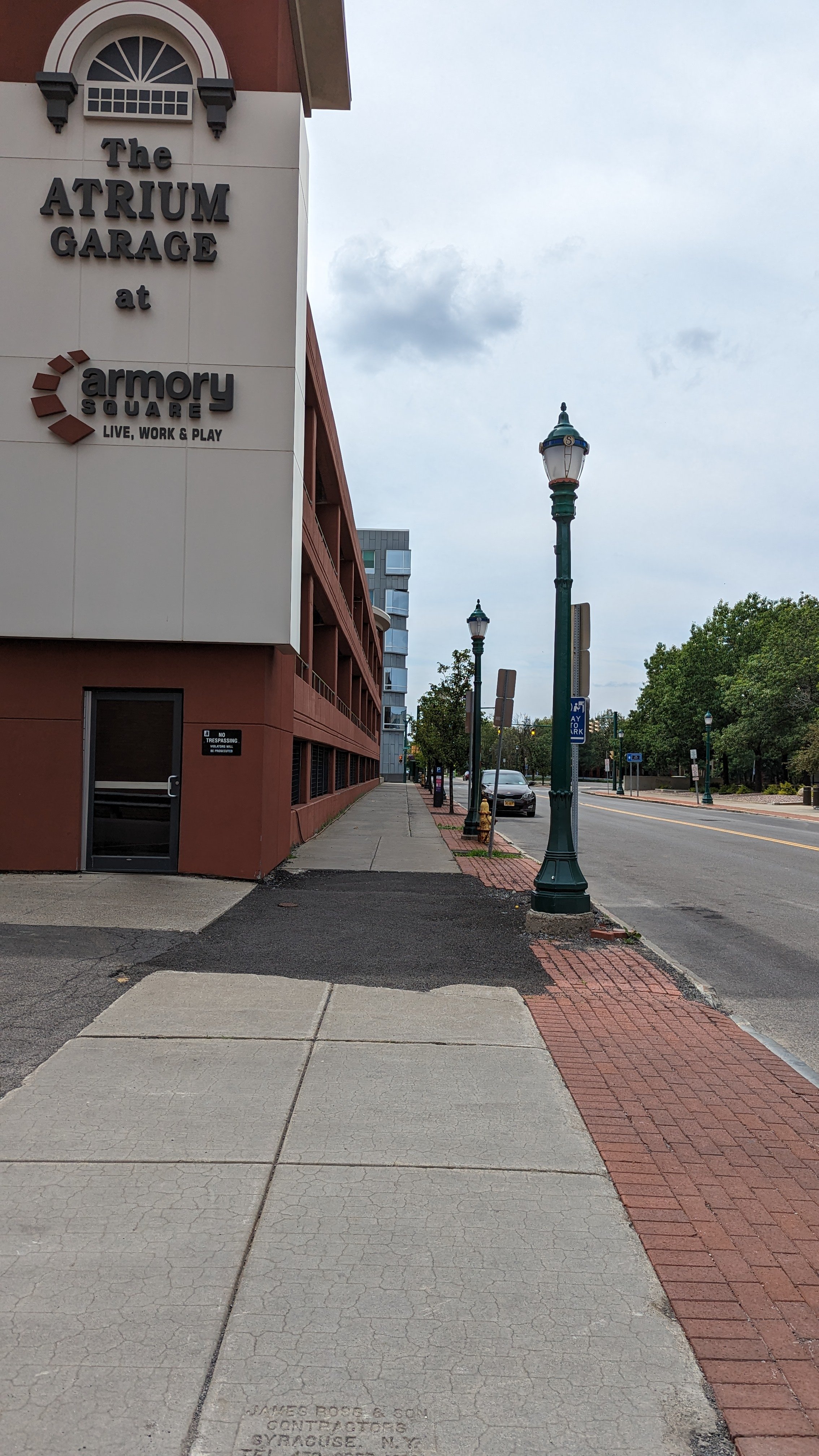
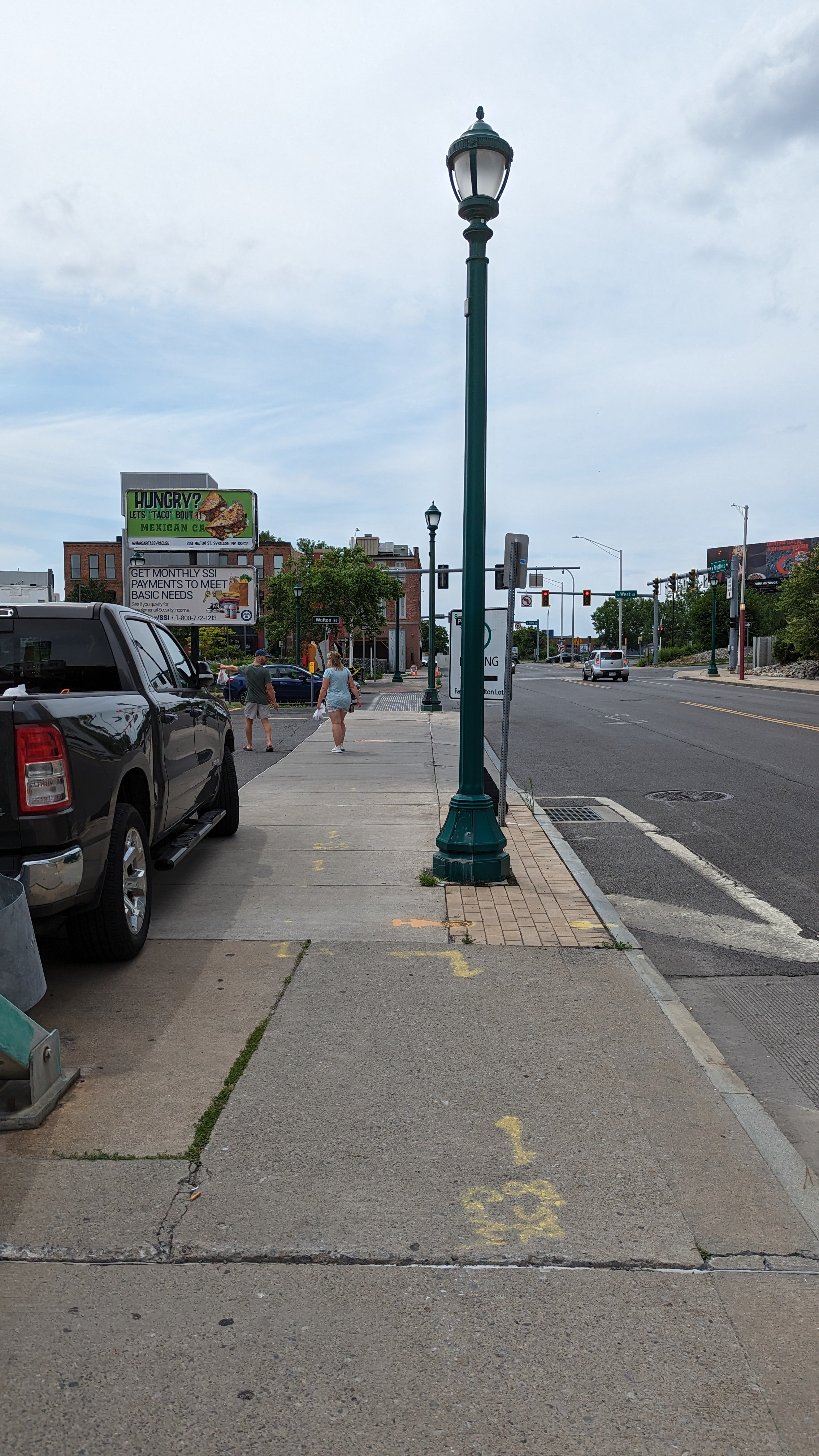
But the Downtown experience is limited. As I have mentioned in previous pieces, Downtown has been retrofitted for cars over the last several decades, with many parking lots surrounding the more walkable center. As you head westward, buildings fade away and car storage reigns supreme, before you encounter a mini highway that cuts straight through the heart of the City.
Crossing West Street
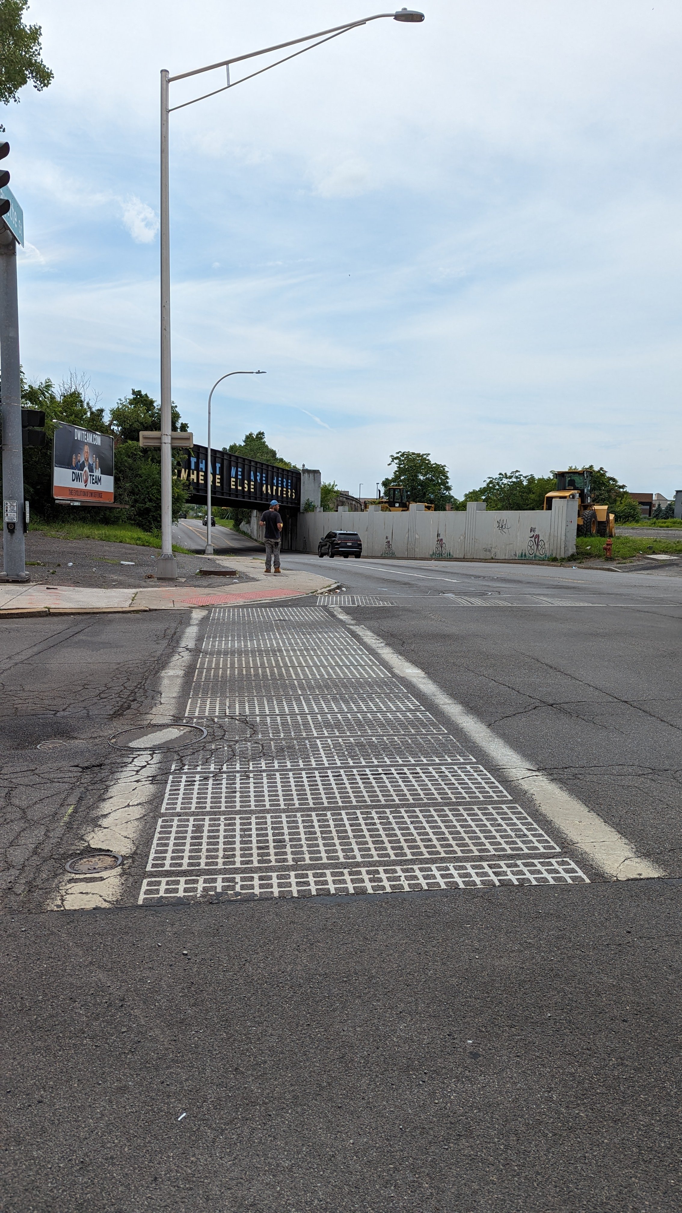
West St, which forms the western border of Downtown Syracuse, is a six lane roadway with on ramps to I-690 on its northern end. While the road is signed for 35 mph traffic, often cars travel upwards of 45 or 50 mph, speeding through at near highway level speeds. According to a 2015 article from the Post Standard, West St was originally built in the 1960s to form an “inner loop” highway, similar to the one recently filled in over in Rochester, NY. Over 100 buildings were demolished to make way for this overly wide roadway that was never ultimately completed as originally envisioned. So today, we are stuck with a high speed stretch of road that is unpleasant for all users.
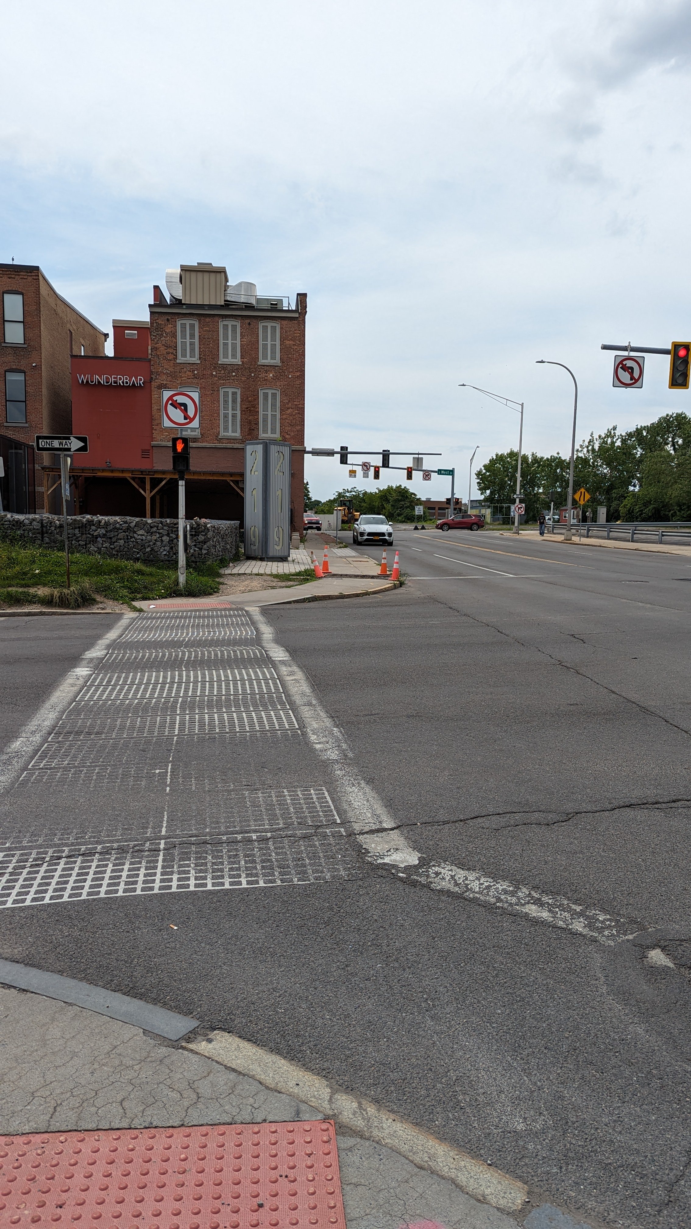
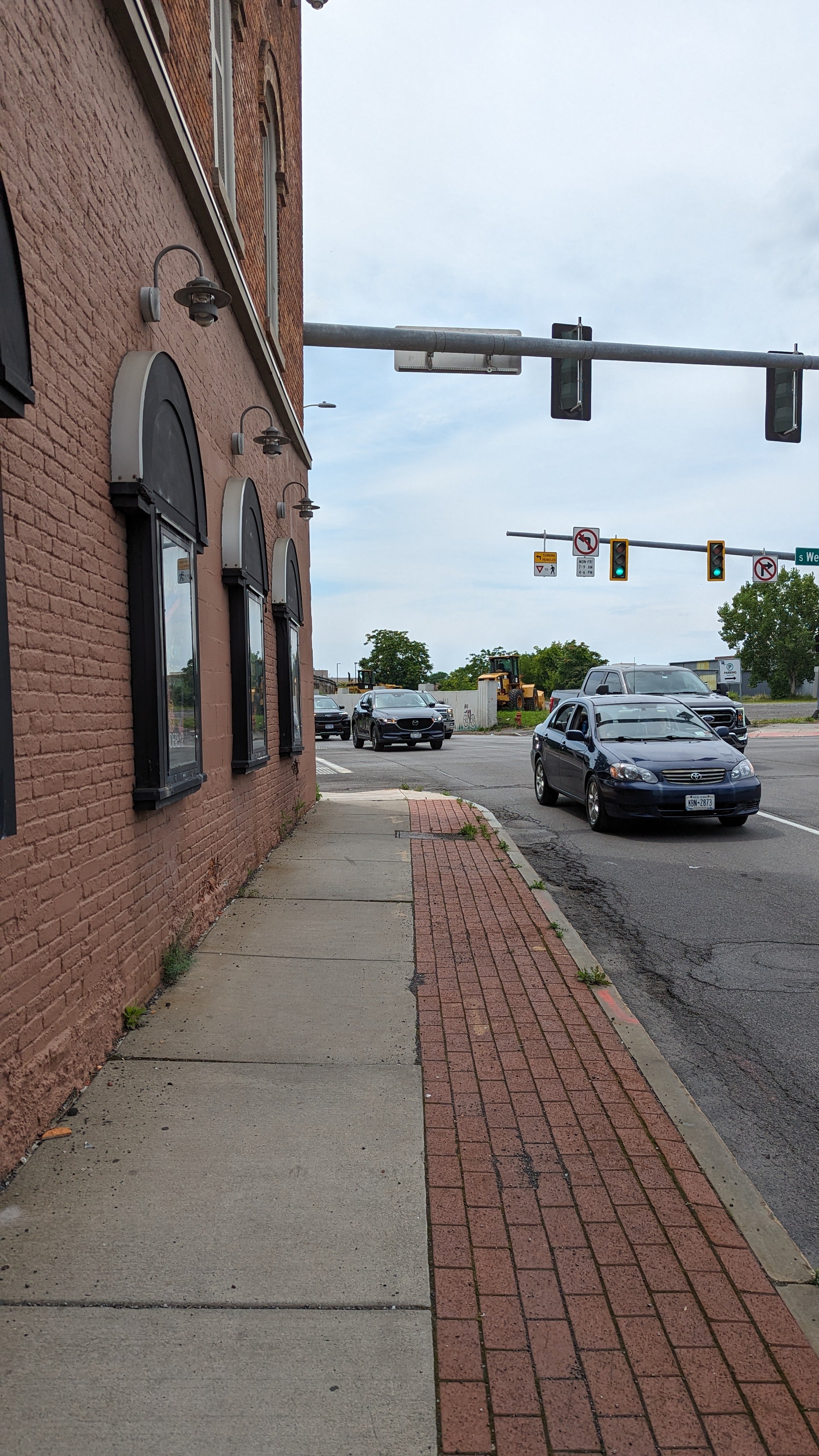
In 2019, Wunderbar, one of the few queer bars in Syracuse, opened up in the former Redhouse Theater space. The bar is sandwiched between the north and southbound lanes of West St, placing it at an uncomfortable crossing point that has certainly prevented some bar hoppers from choosing to include it in their nights out.
So what makes this crossing so uncomfortable?
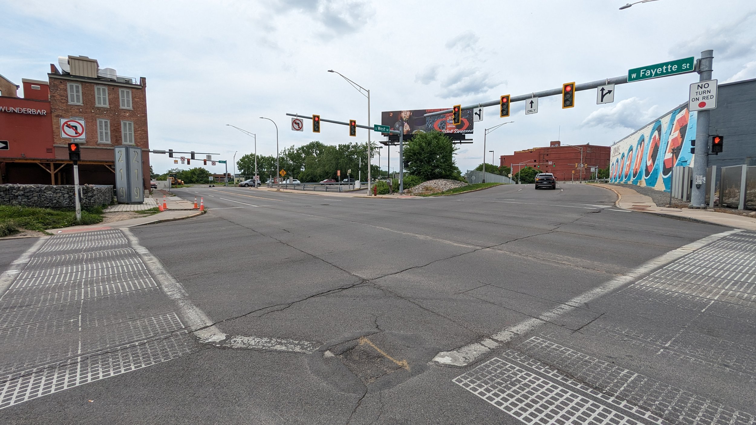
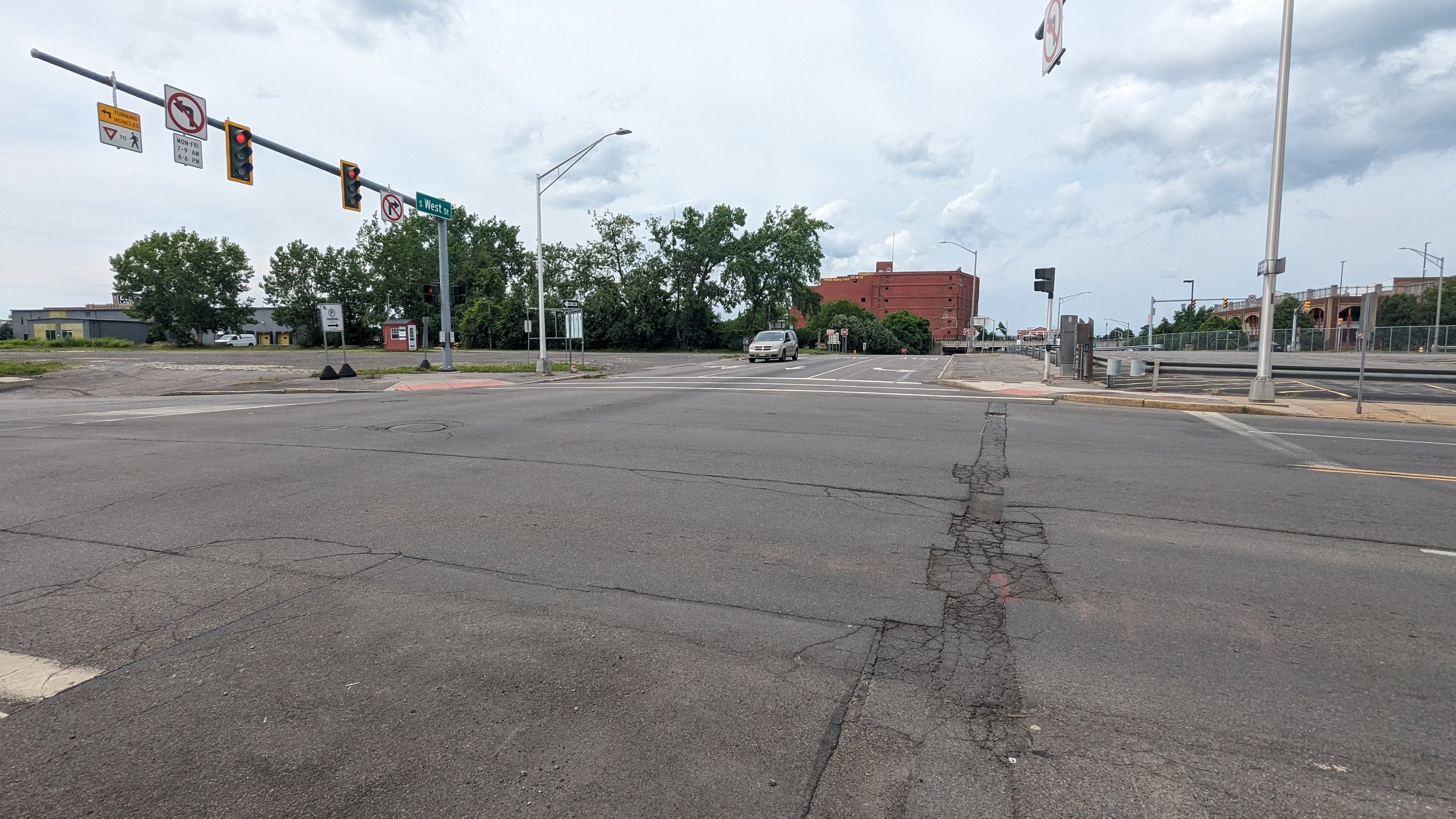
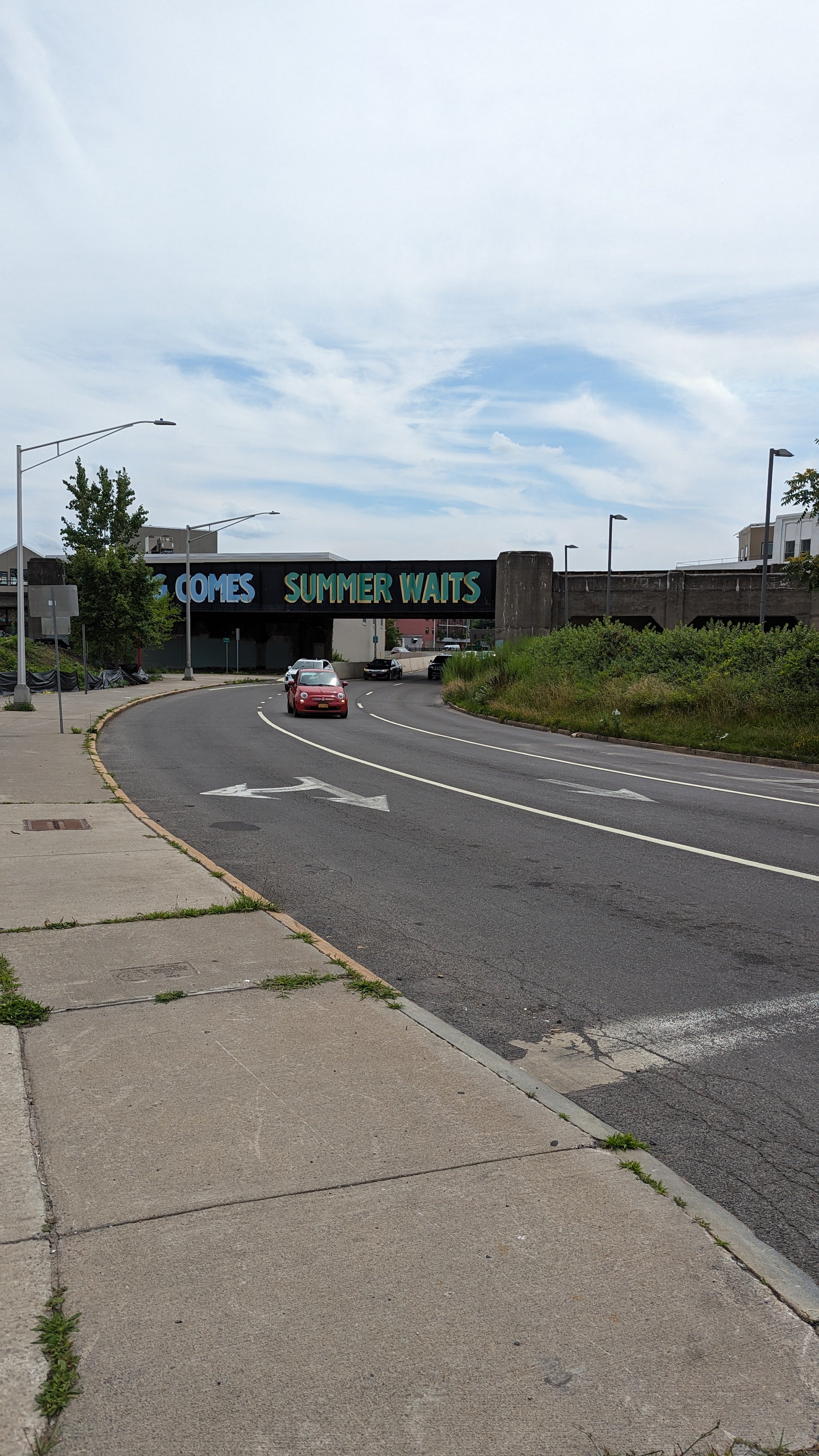
Car speeds are one of the biggest issues. From the south, cars come whipping around a corner under a railroad bridge. From the north, vehicles traveling at even higher speed coming off I-690 come racing up the depressed roadway from under Erie Blvd, trying to make the light, or rushing through shortly after it turns red.
Some of these issues will be addressed in the upcoming I-81 viaduct project. West St will see its connection to I-690 adjusted, bringing cars to a stop at W Genesee St, two blocks north of W Fayette St, helping to slow down vehicles. This adjustment does little to address speedy vehicles from the south. Ultimately, reducing lanes, adding street trees, and narrowing the intersections would help reduce speeds further, but are currently not within the plans.
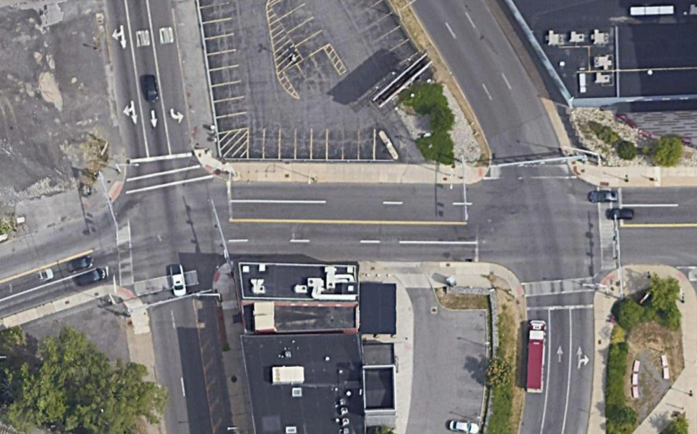
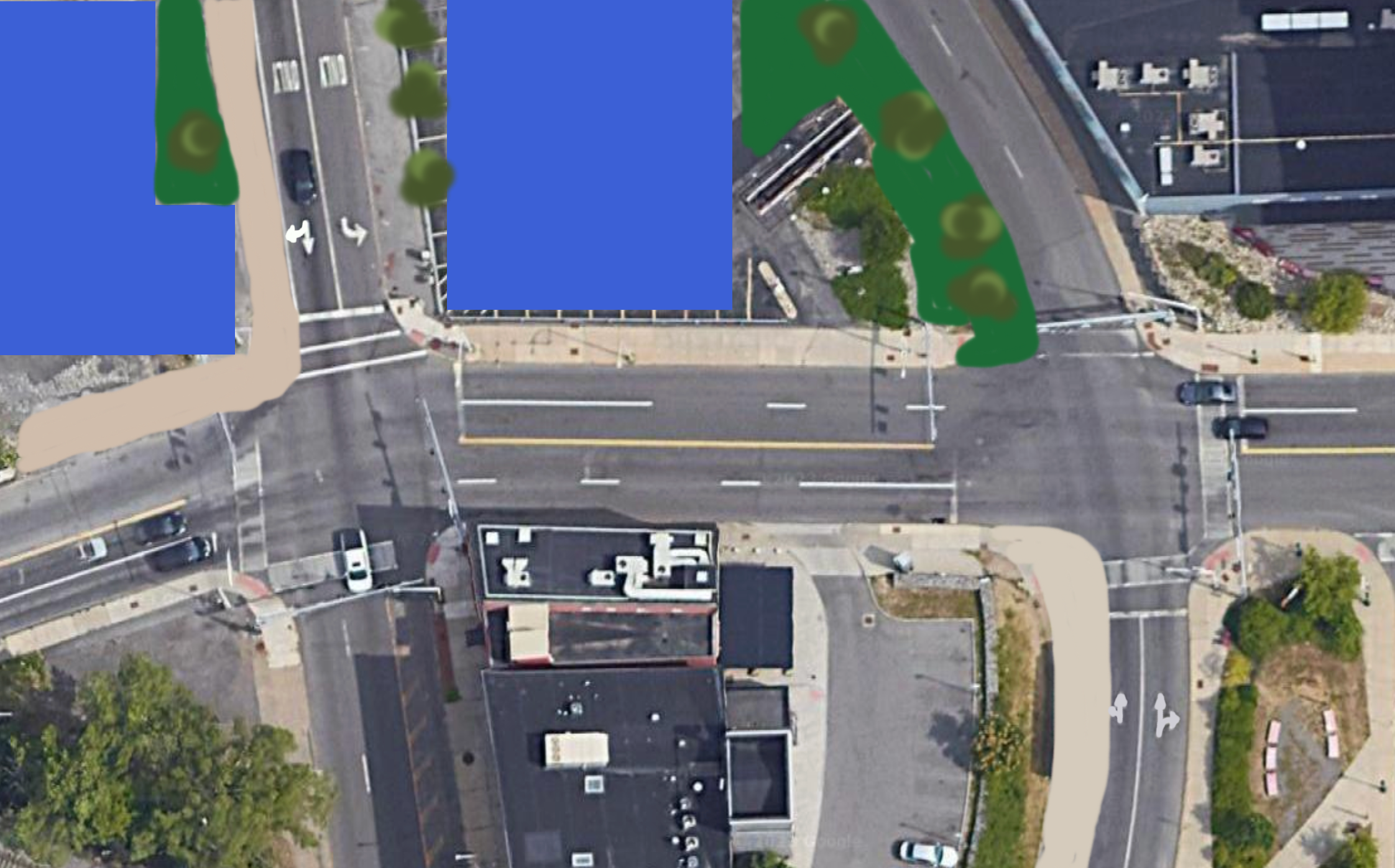
Due to the existing features, and the lack of future improvements, few people choose to cross this intersection. Due to this lack of pedestrian activity, drivers are often not looking for people outside of vehicles, adding to the unsafe feeling for those who do look to cross.
Once you’re across both legs of West St, vacant lots welcome you before you pass under a railroad bridge. Sidewalks are only available on the southern side of the street, but they are at least decently wide. Panhandlers do frequent this corner. There’s a larger conversation that must be had in terms of homelessness, panhandling, and drug use in our community. This piece is not the space to dig in at this time, but it is important to note that these complex issues impact all aspects of public life. As a primer for a broader conversation, I highly recommend a recent episode of the Ezra Klein Show podcast and a piece in the Atlantic by his guest, Jerusalem Demsas. For now, we continue our walk and consider the physical infrastructure we have in place.
W Fayette Street - West to Geddes
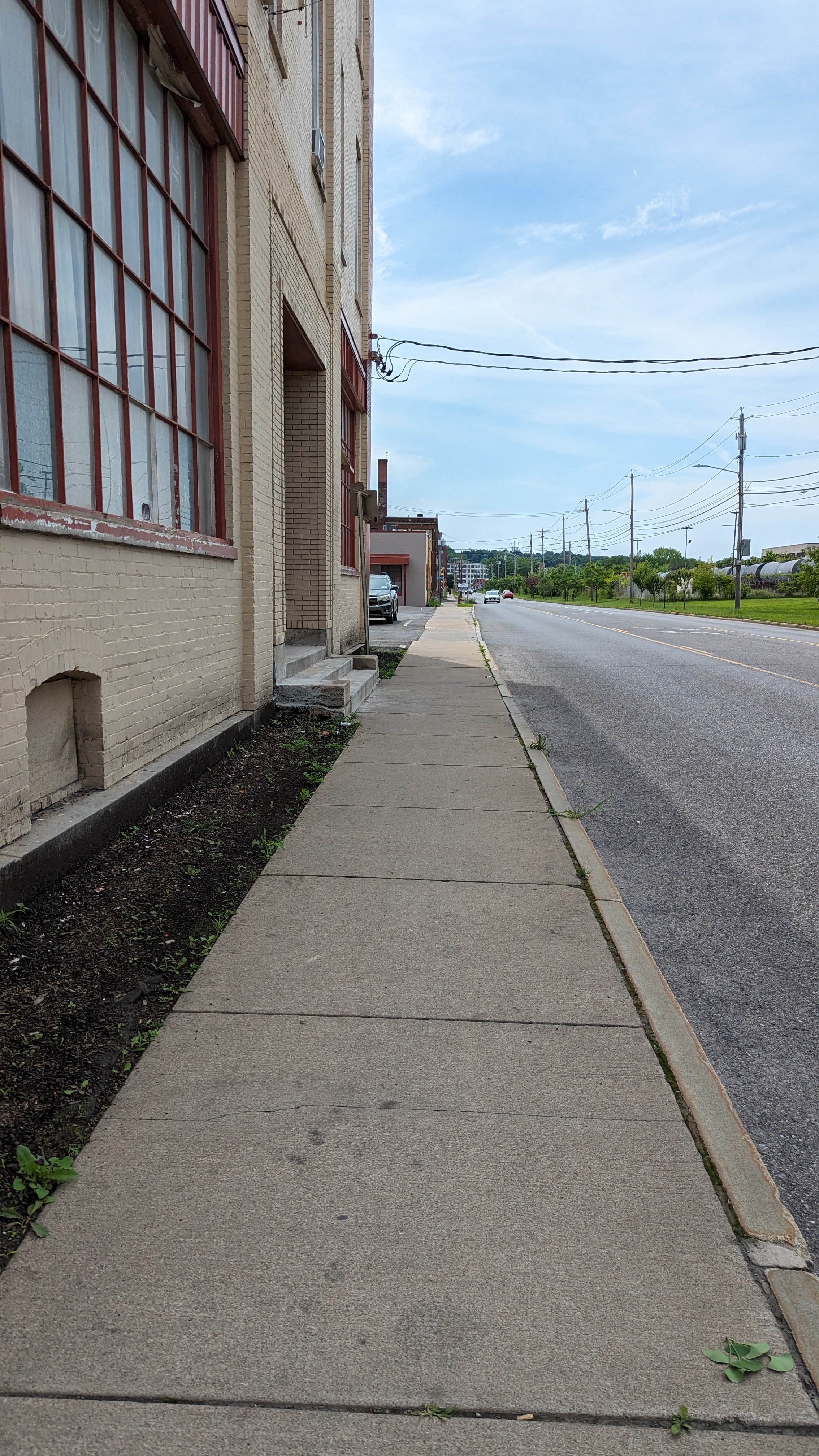
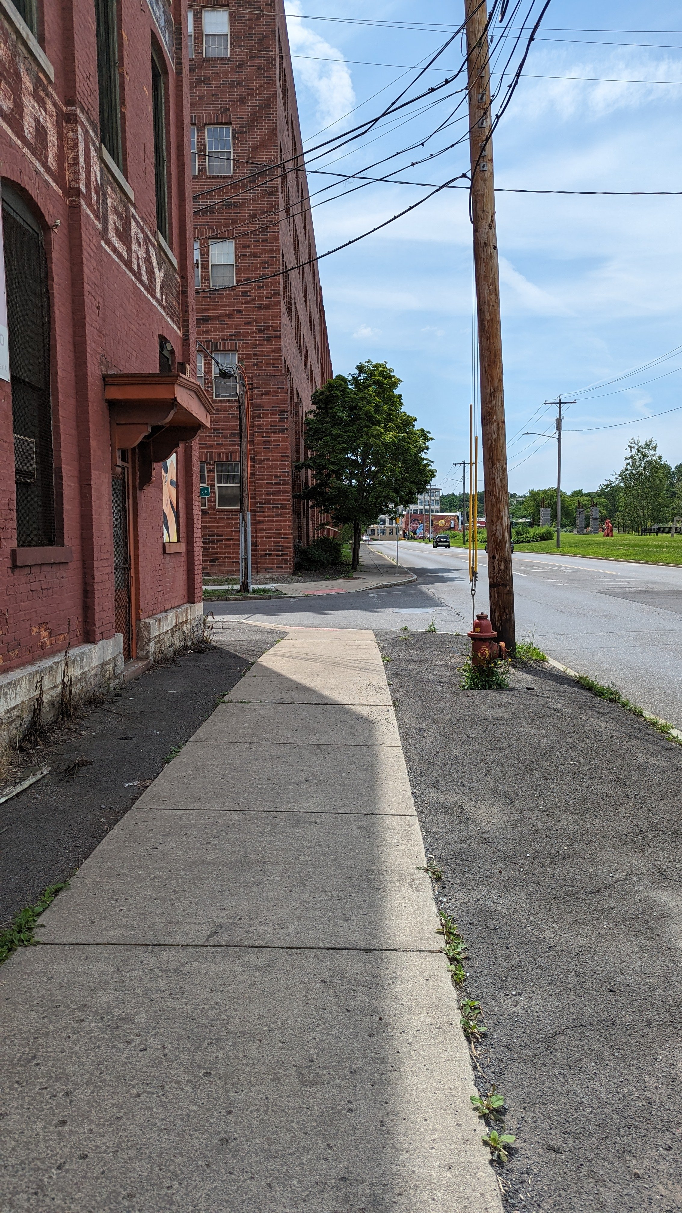
On the other side of the railroad bridge, the experience is a mixed bag. The Near Westside has an industrial legacy and, thanks to the Near Westside Initiative, many of the legacy warehouses and factories have been repurposed for the modern age. WCNY, the local PBS station, moved into the neighborhood over ten years ago. Artisan and light industrial businesses have also moved in. And some housing has been added. This neighborhood continues to experience concentrated poverty, and recently announced housing projects look to improve the quality of housing available, although it does not fully address the need for more mixed-income housing.
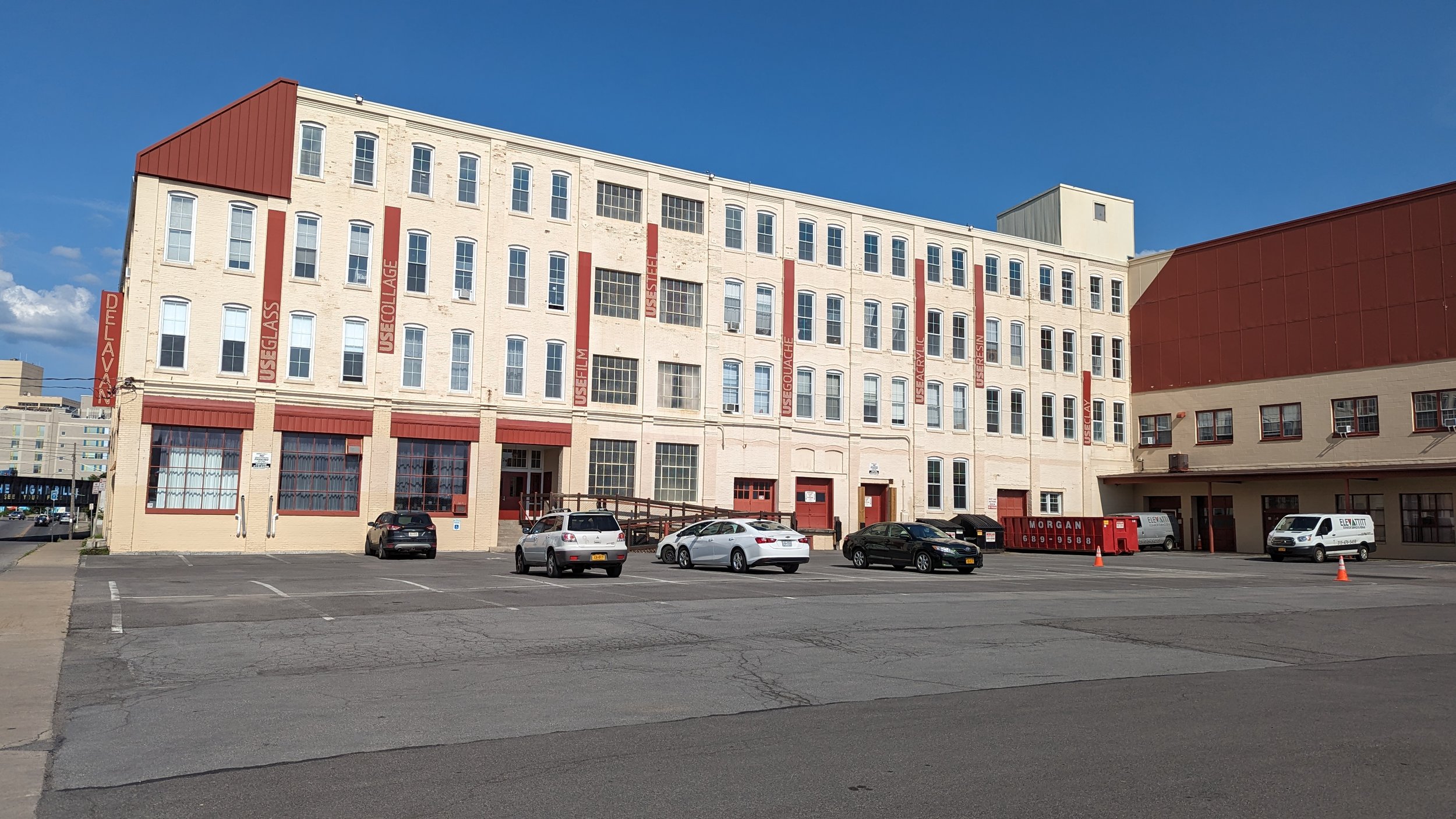
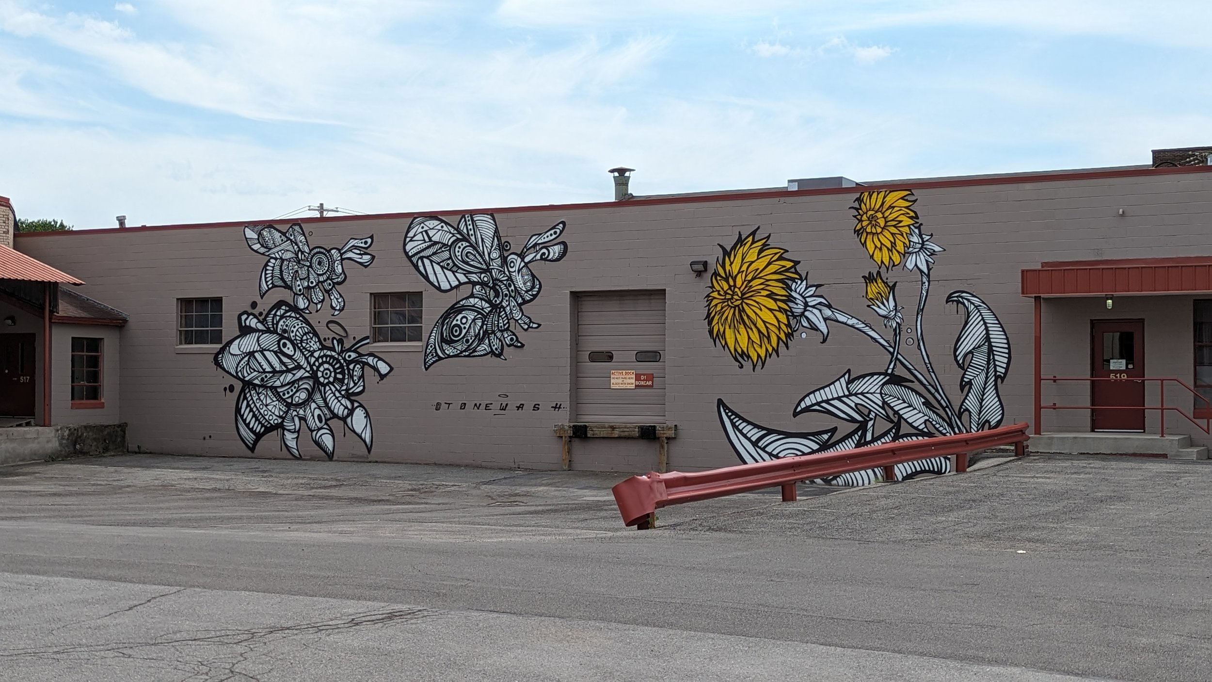
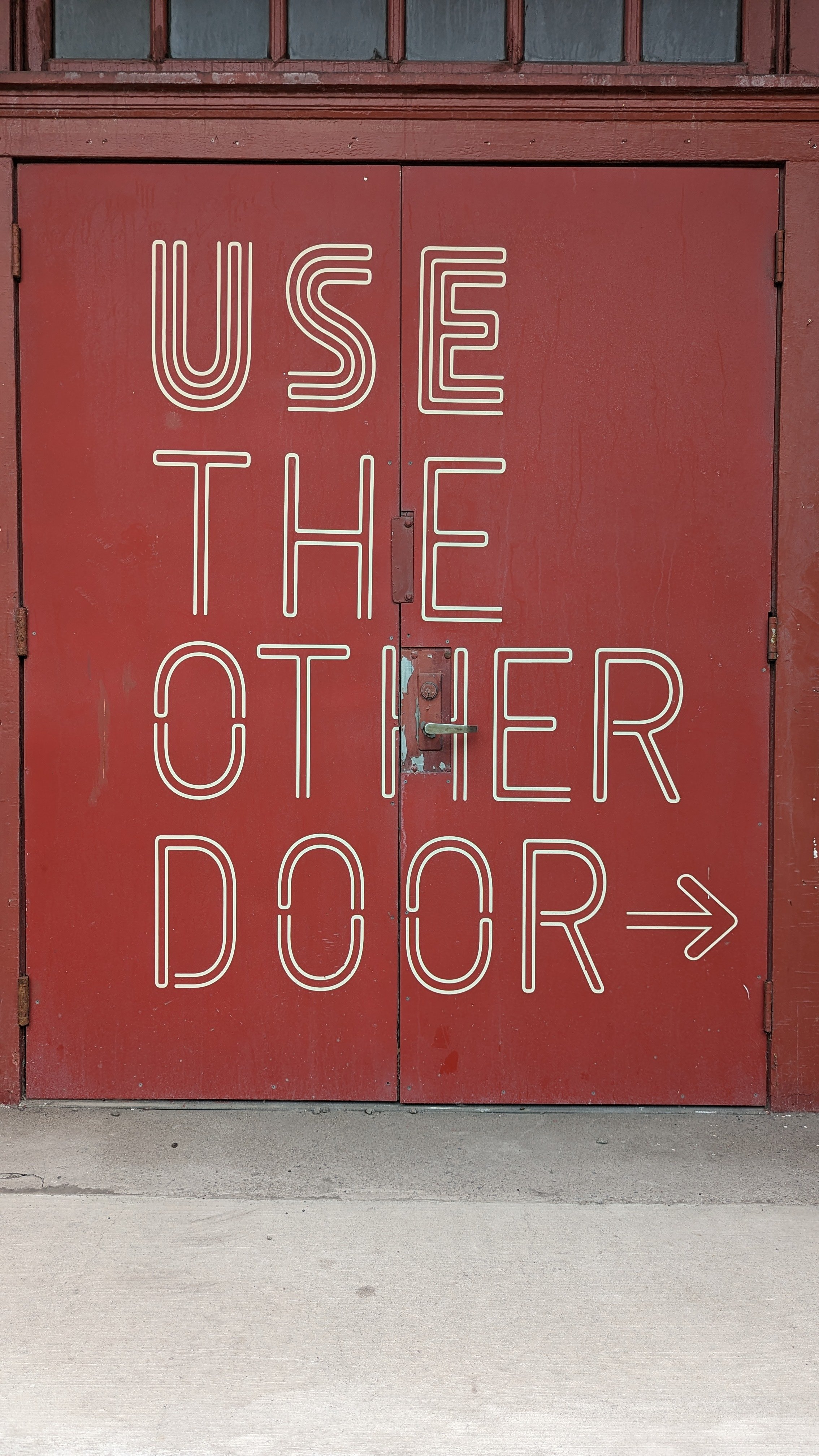
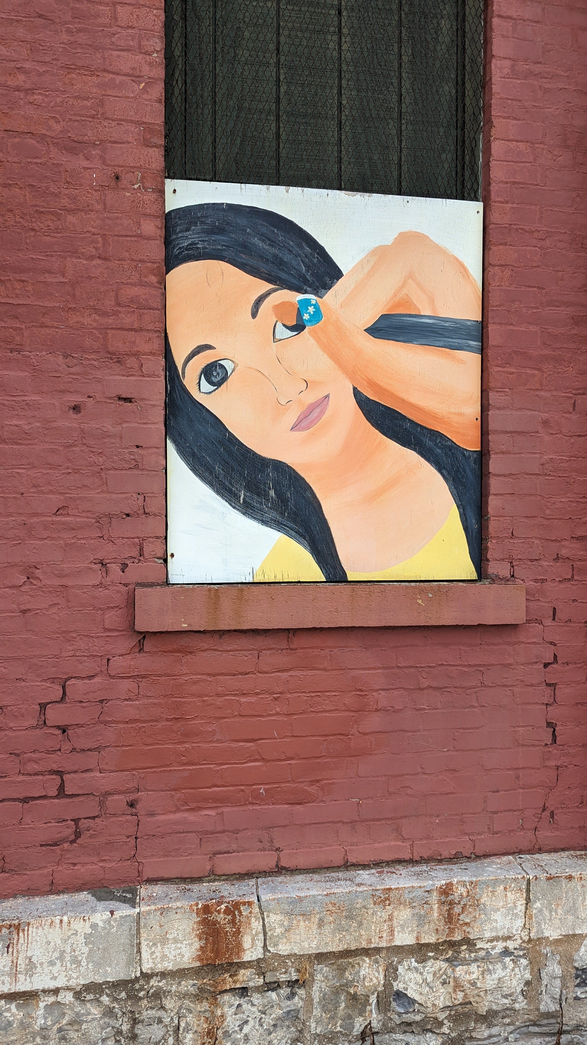
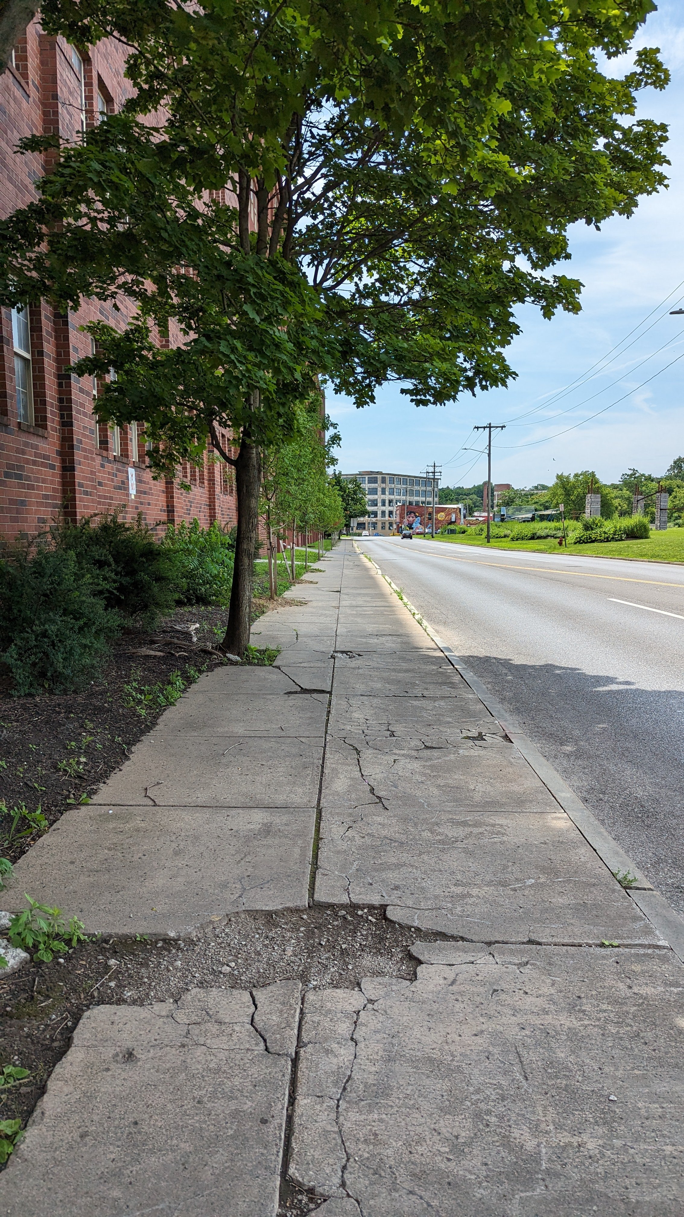
When looking at the walking experience, the legacy architecture does help improve the interest level of the walk. Murals grace the face of several buildings, bringing a pop of color and visual interest as you walk. Even then, many of the buildings are currently underused. Some of this is due to a lack of demand, but that could be shifting as new investments come into the region. These older warehouses can easily become mixed-use centers, providing housing and maker spaces for hundreds of residents. The Gear Factory, further down W Fayette St, is a perfect example of this approach.There are also plenty of surface parking lots that we can redevelop into the mixed-use neighborhood scale buildings this neighborhood needs.
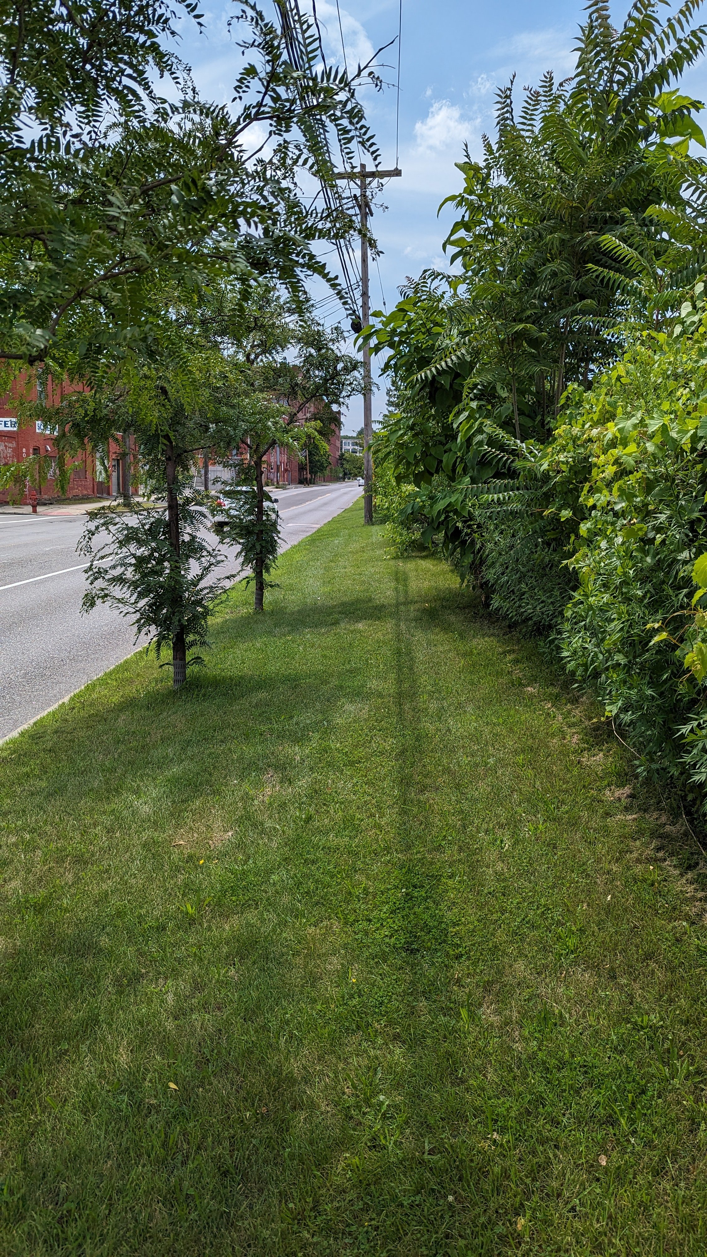
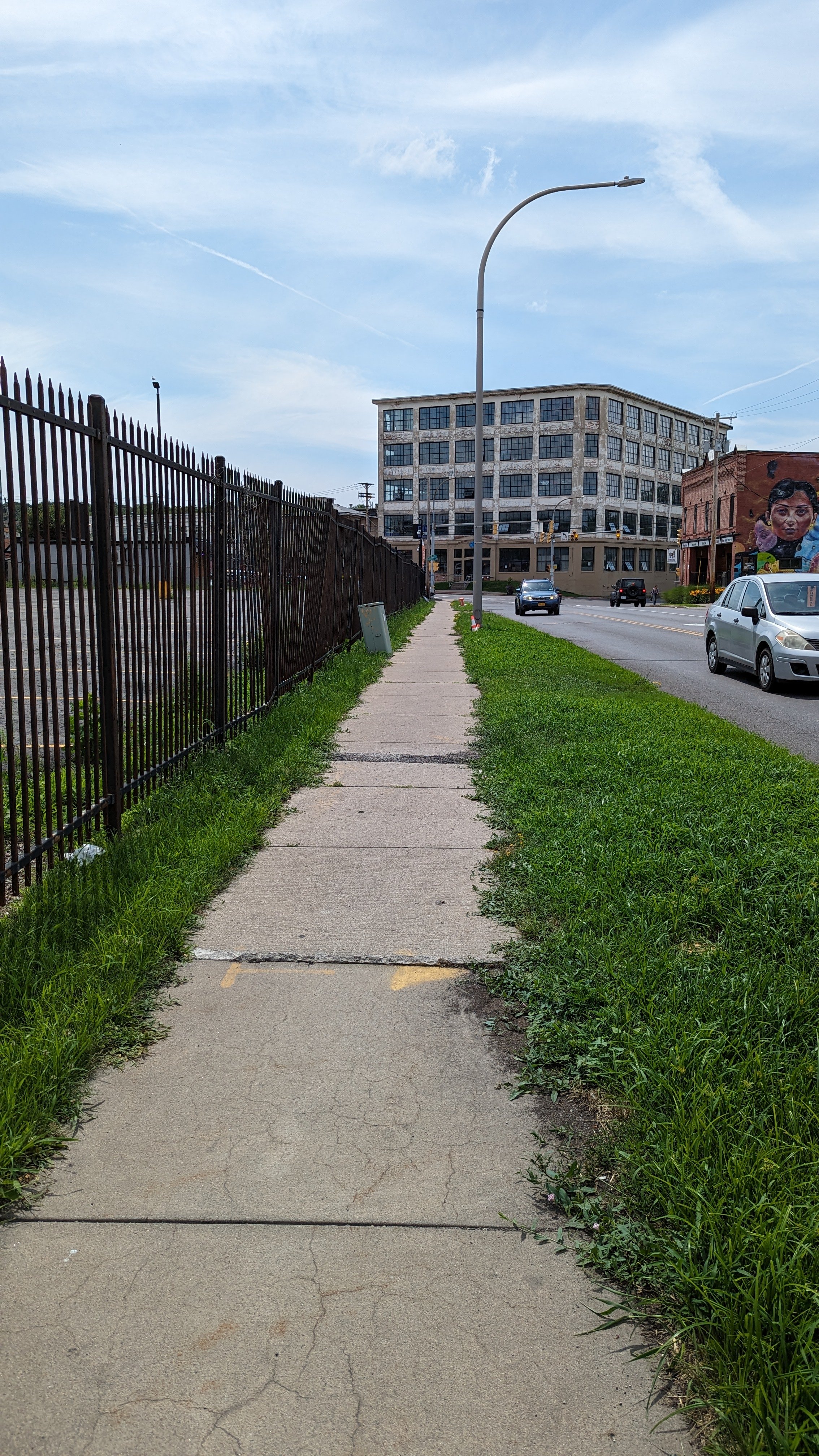
While the buildings that line the southern side of the street do help with visual interest, the railyard and parking lot on the northern side of the street deaden the activity. Further west, the Lipe Art Park is an excellent start to bringing life and color to the space. What holds the art park back is a lack of connection to the neighborhood across the street.
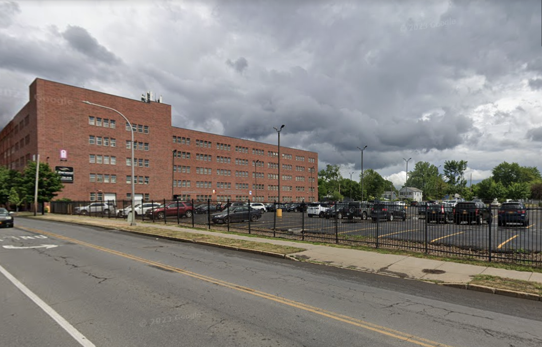
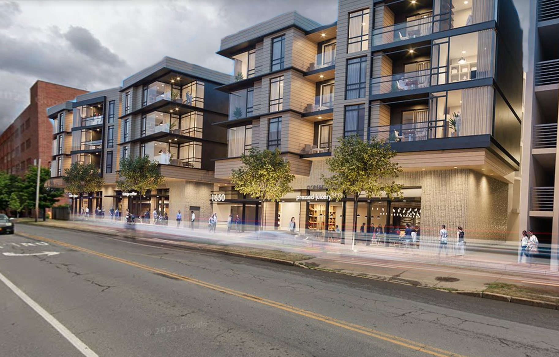
Without any stop signs or traffic signals between West St and Geddes St, over 3,000 ft, cars often speed down the corridor, traveling far above the 30 mph posted speed limit. At the same time, the lack of sidewalks on the northern side signals that people are not welcome to cross, even if an artistic destination is located there. While some may be reluctant to slow vehicles down on a key commuting corridor, it is vital to creating a welcoming space for residents. If we see our legacy buildings as opportunities to provide housing for hundreds or thousands, then providing easy access to green spaces and artistic endeavors must be considered part of that. This may require adding traffic control devices in key locations, removing the center turn lane to reconfigure the space to include a shared use path or other infrastructure within the curb line, and slowing vehicles down to at least the posted speed limit, if not lower.
We should also recognize that Erie Blvd W, which runs parallel to W Fayette St, could and should become more of a commuter corridor as the roadway is already overbuilt and underused. Moving commuting traffic to the north may allow W Fayette St to be humanized.
Crossing Geddes Street
Geddes St is the second concerning intersection along this trip. In 2021, the SMTC identified the intersection and corridor as a hotspot for fatal and serious injury crashes. When you make your way through the intersection, you begin to understand why.
As mentioned before, drivers on W Fayette St are often traveling far above the 30 mph speed limit, aiming to make the light before it turns red. Adding to this issue is the fact that most westbound traffic is turning left to head south down Geddes St. Left turns are the most dangerous movement in a vehicle, with many drivers looking for other cars but not looking for people on foot. Add to this the right turn lane for northbound traffic on Geddes St and the fairly wide crossing (roughly 70 ft), the end result is people on foot being exposed to drivers who are not looking for their presence.
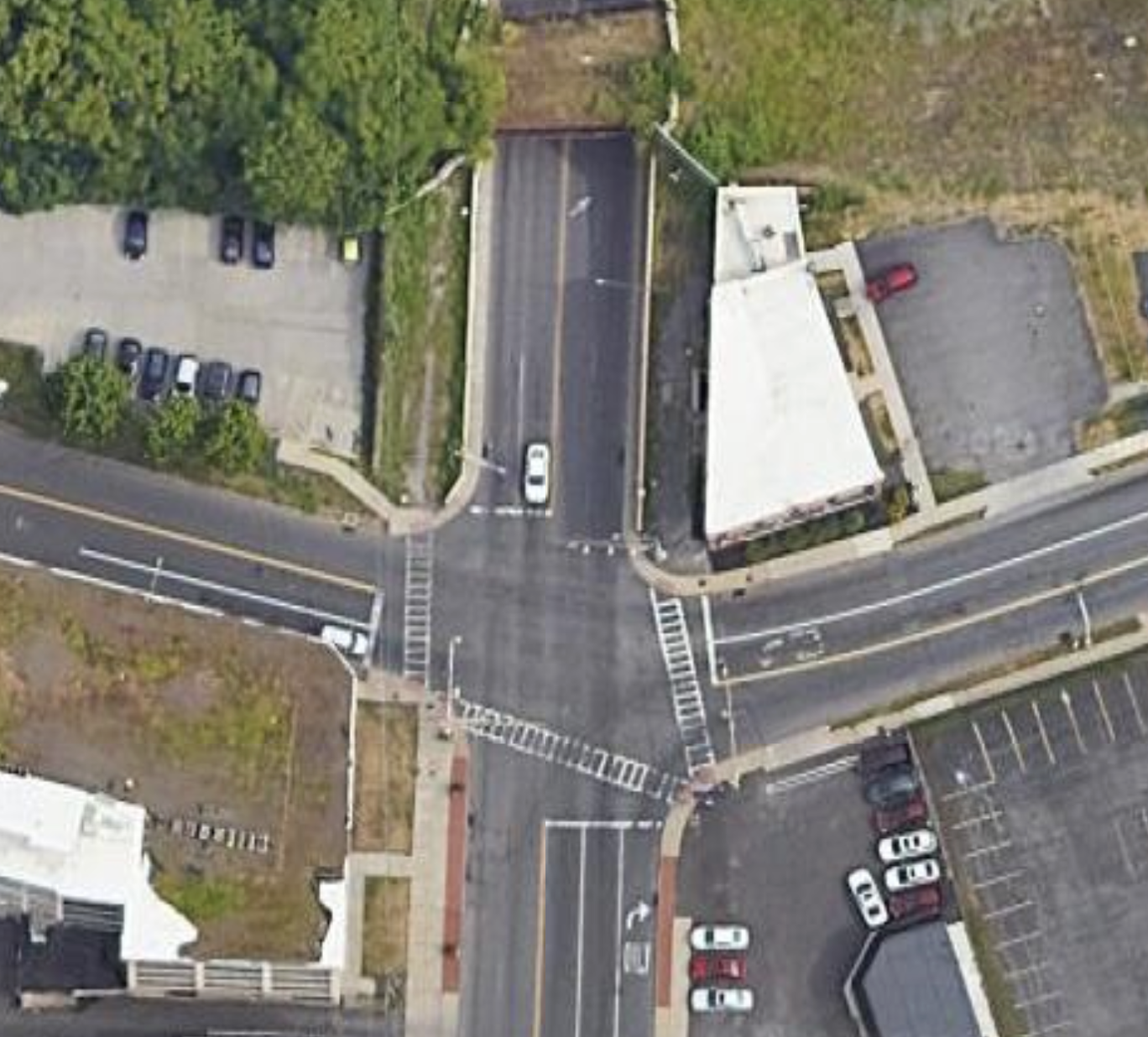
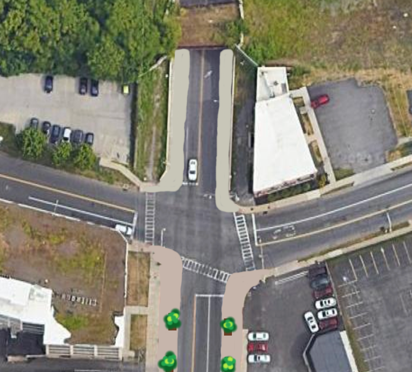
In 2020, the SMTC explored the option of reducing the number of travel lanes on Geddes St and repurposing space for a two-way shared-use path. This would help reduce the crossing distance and exposure to vehicles, while also improving access to cyclists. One thing this analysis does not fully take into account is the fact that drivers will find the path of least resistance or opt for new modes of travel. If you make the turns and connections to W Fayette St less ideal, many drivers will opt for new paths, including continuing northward onto Erie Blvd W. Reducing the amount of turns at this intersection would help people on foot by reducing the amount of conflicts they have with cars.
Luckily for us, walking on a Saturday meant lower than average car volumes and only two or three cars waiting to turn as we crossed.
W Fayette Street - Under the Railroad
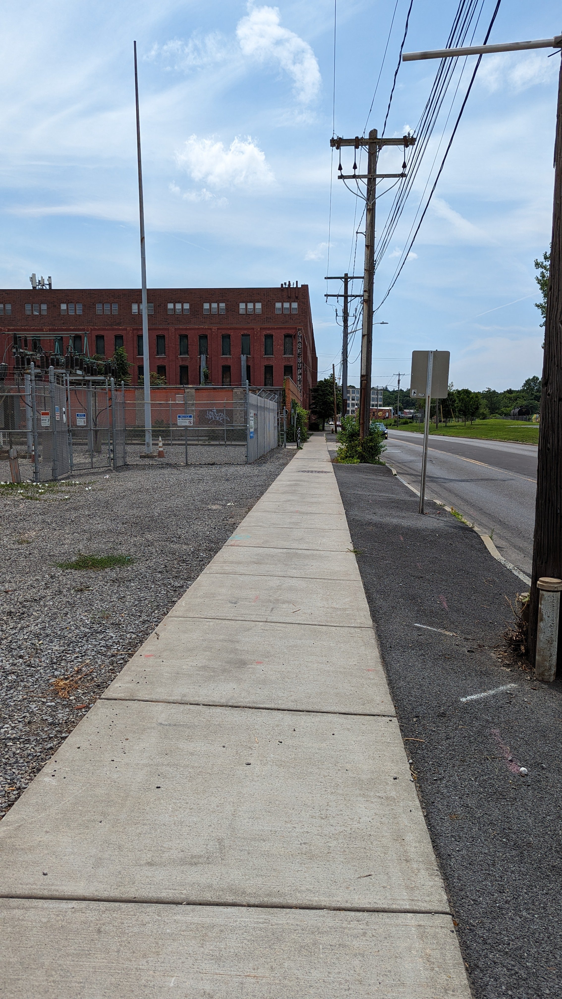
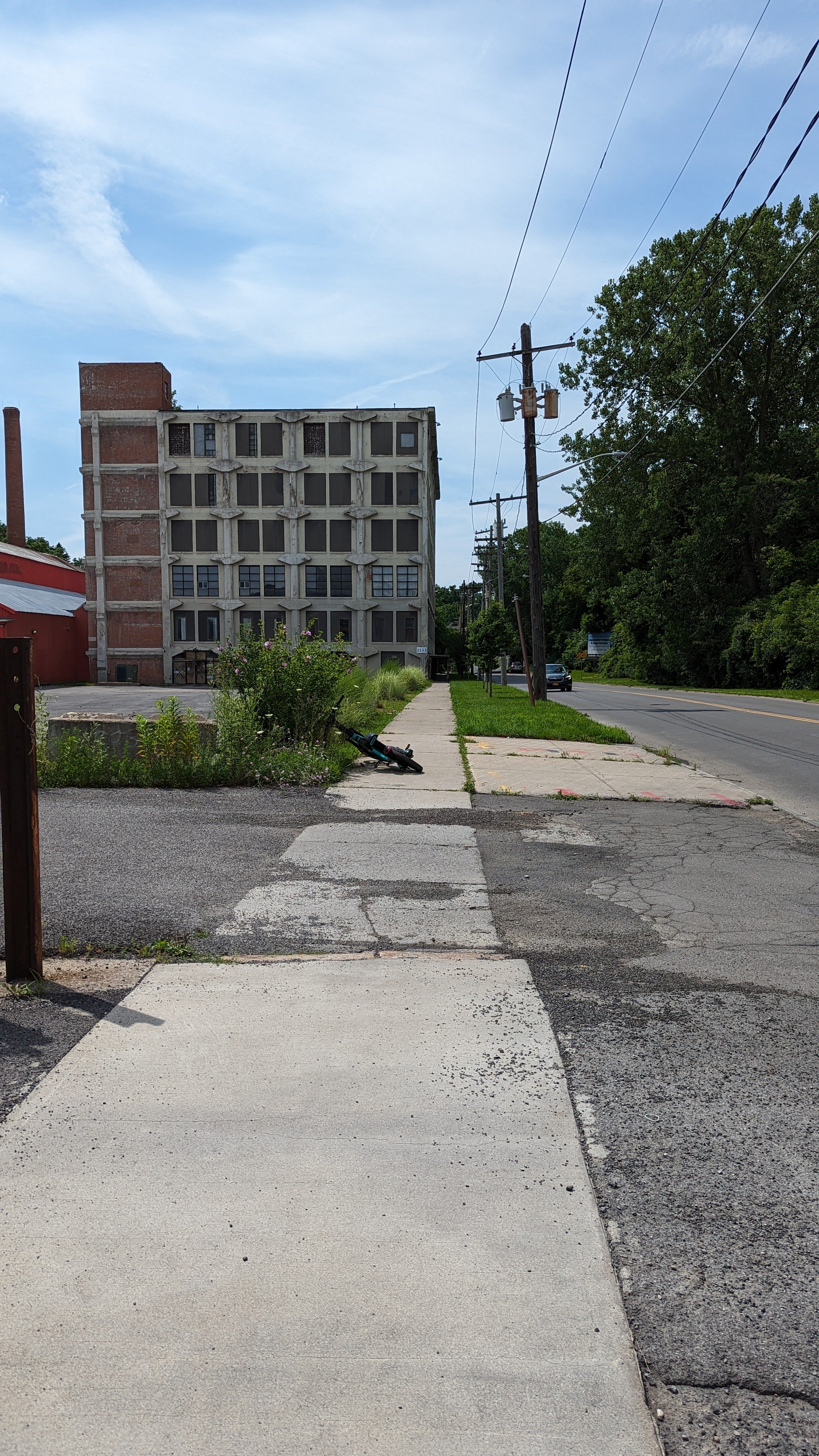
Once you’ve made it to the other side, you’re greeted by the Gear Factory, a true highlight in how to reuse older, legacy industrial buildings. While the building is seeing new life, the public space outside of it is in need of repair. While the City’s sidewalk program will likely improve the sidewalks in the coming years, the street lighting should be reconfigured to emphasize more human scale movements. Currently, the cobra style streetlights are closer to what you see on a highway instead of on a neighborhood commercial strip. Adding accessory lighting fixtures could help address this concern.
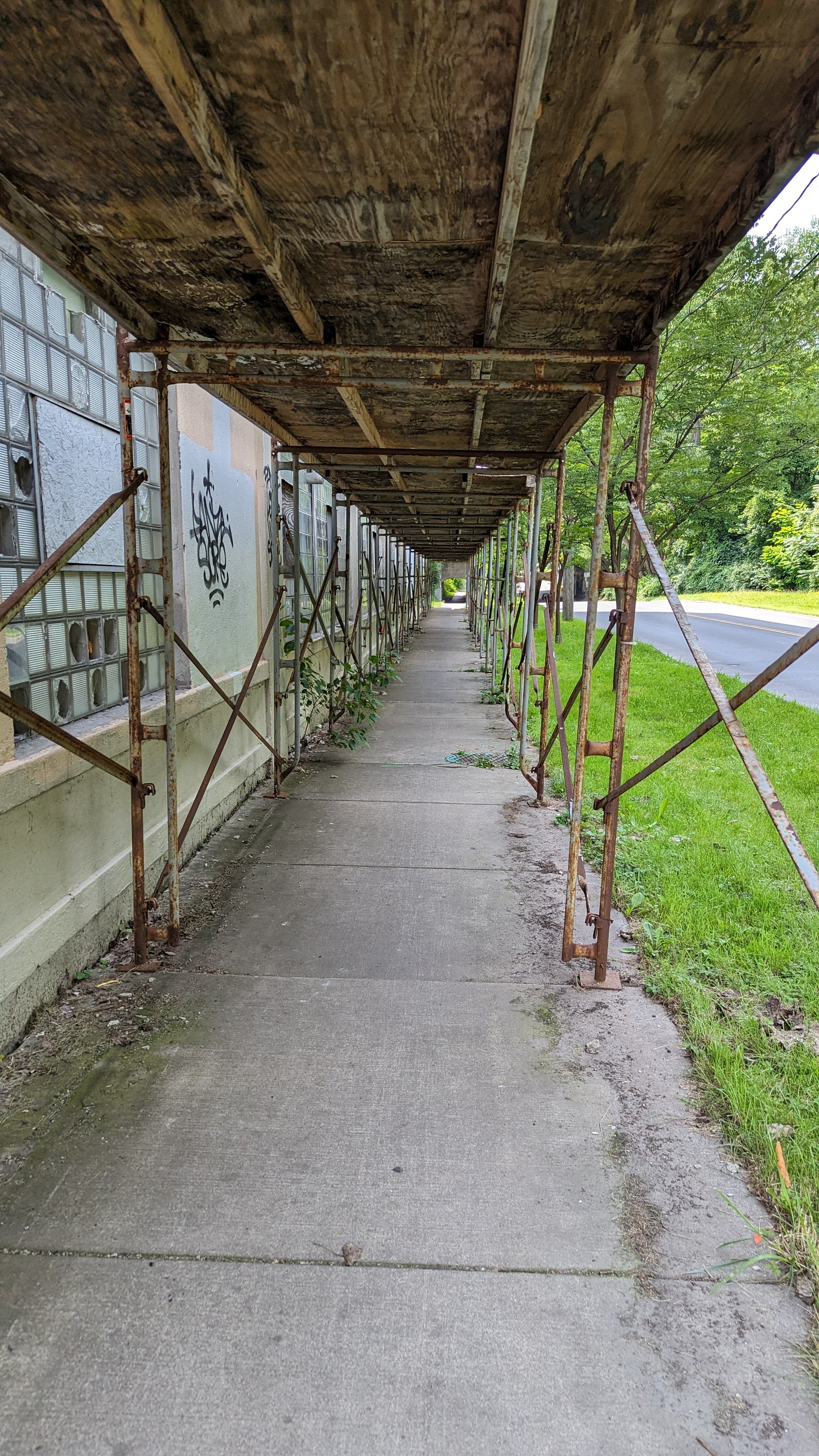
Soon, just to the west of the Gear Factory, the Syracuse Police Department (SPD) is eyeing another underused warehouse for a potential upcoming move. This move would not only help shore up a quickly deteriorating building, but also add activity and people to a block in need of them. Bringing public investment into this neighborhood could be the catalyst for other forms of development. Currently, the building the SPD is considering has a less than trustworthy sidewalk shed protecting people as they walk next to it. Unlike the sidewalk sheds in New York City, the ones used in Syracuse are short, narrow, and dark. They add a feeling of being constrained even while you’re out in public.
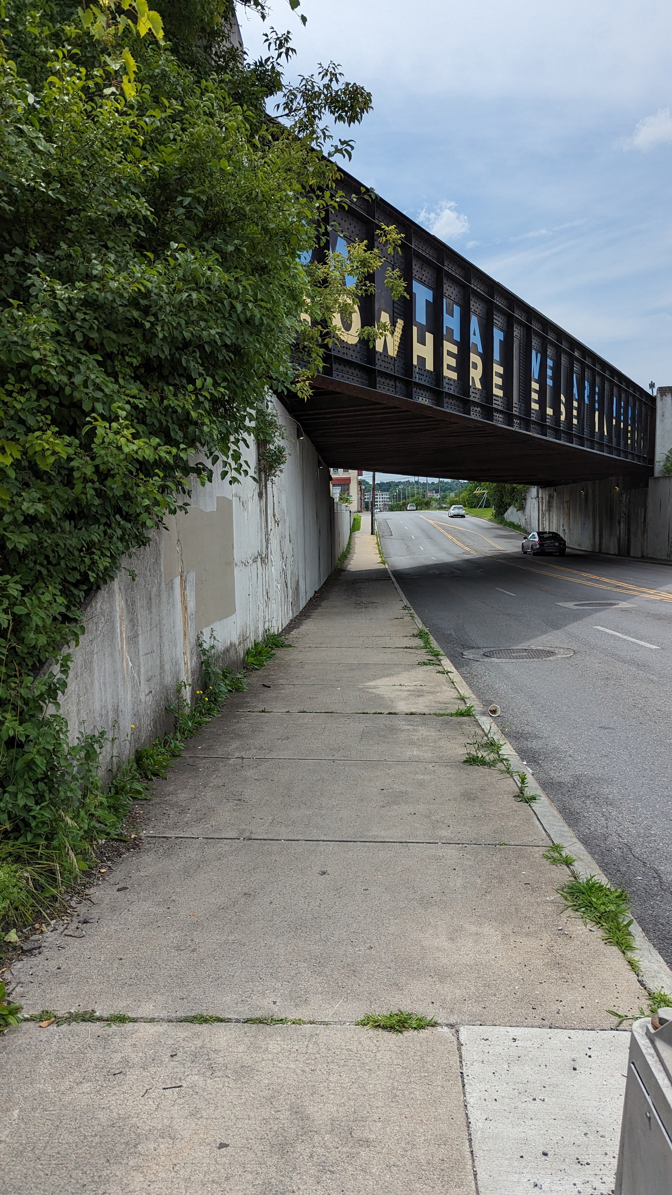
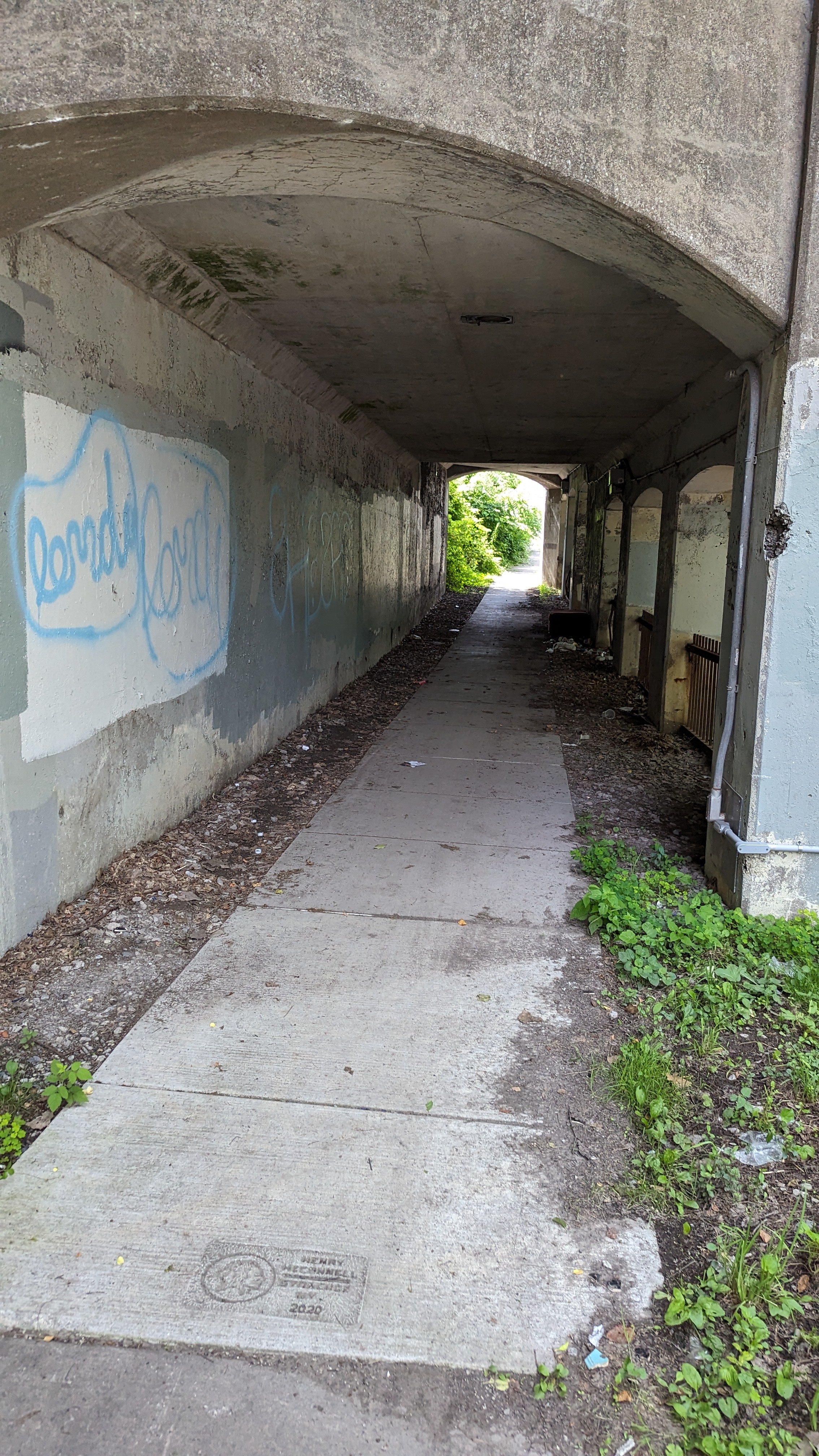
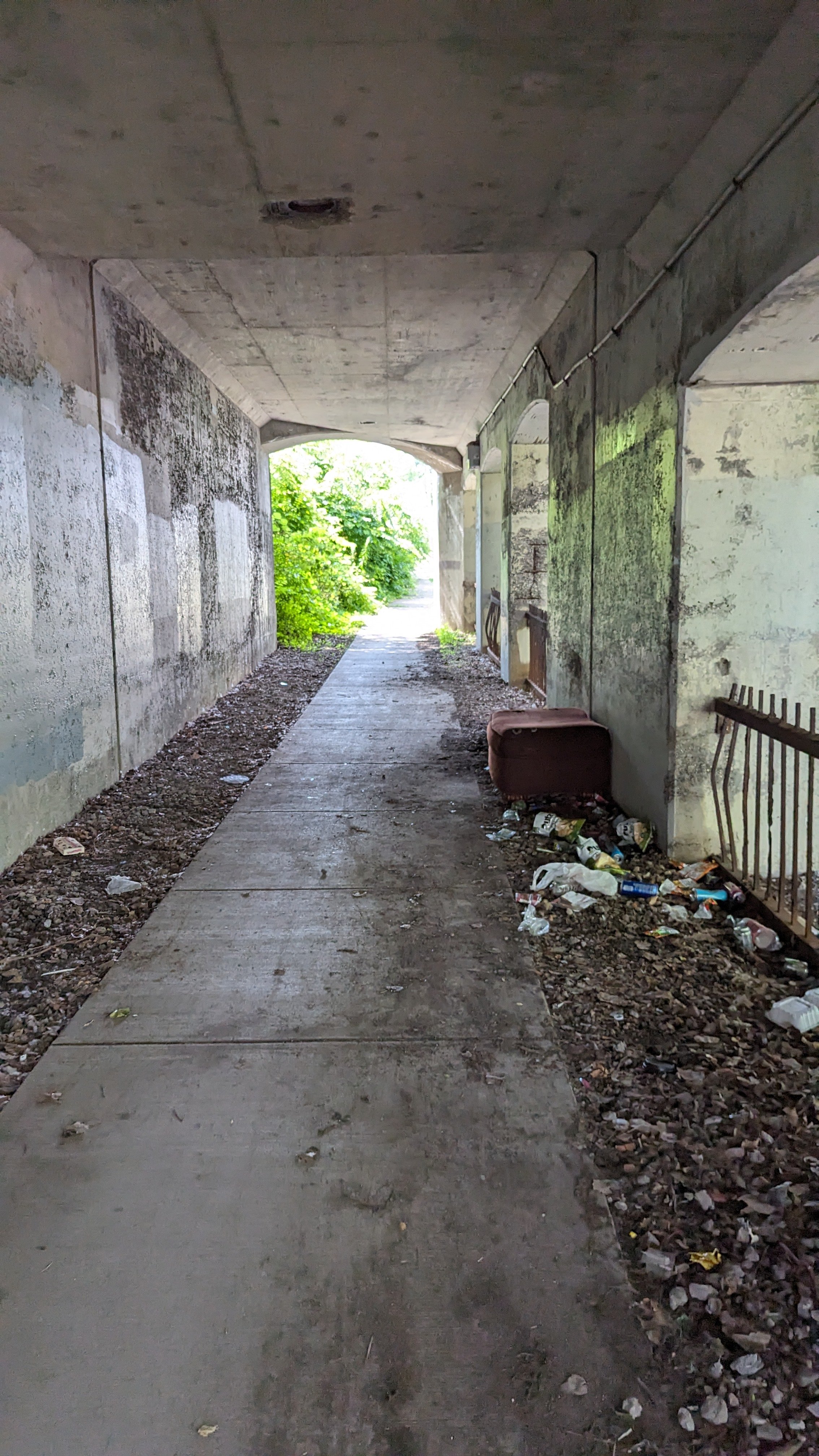
These sidewalk sheds act almost as an extension of the dark, constrained feelings you experience when walking under the unused railroad bridges at their western end. While the previous SMTC study recommended adding lighting and signage beneath the bridge, the path is littered with trash and drug paraphernalia, which is likely to continue until the area is more well trafficked on foot. Another option is to remove the bridge entirely, opening up the space. While I would love to see the bridge repurposed for riding bikes and walking, it might make more financial sense to remove it and improve the street and sidewalks in its place.
This section of W Fayette St should be seen as the entrance to Tipperary Hill and Skunk City. Just a couple blocks away, as massive new development is taking shape. The former Syracuse Developmental Center is being redeveloped into roughly 500 housing units and a light industrial complex. We must be thinking of ways to improve these connections and encourage residents to walk and bike down this corridor. Adding light, widening sidewalks, and bringing public safety investments to the area are all good ways to start.
W Fayette St - Up to Tipp Hill
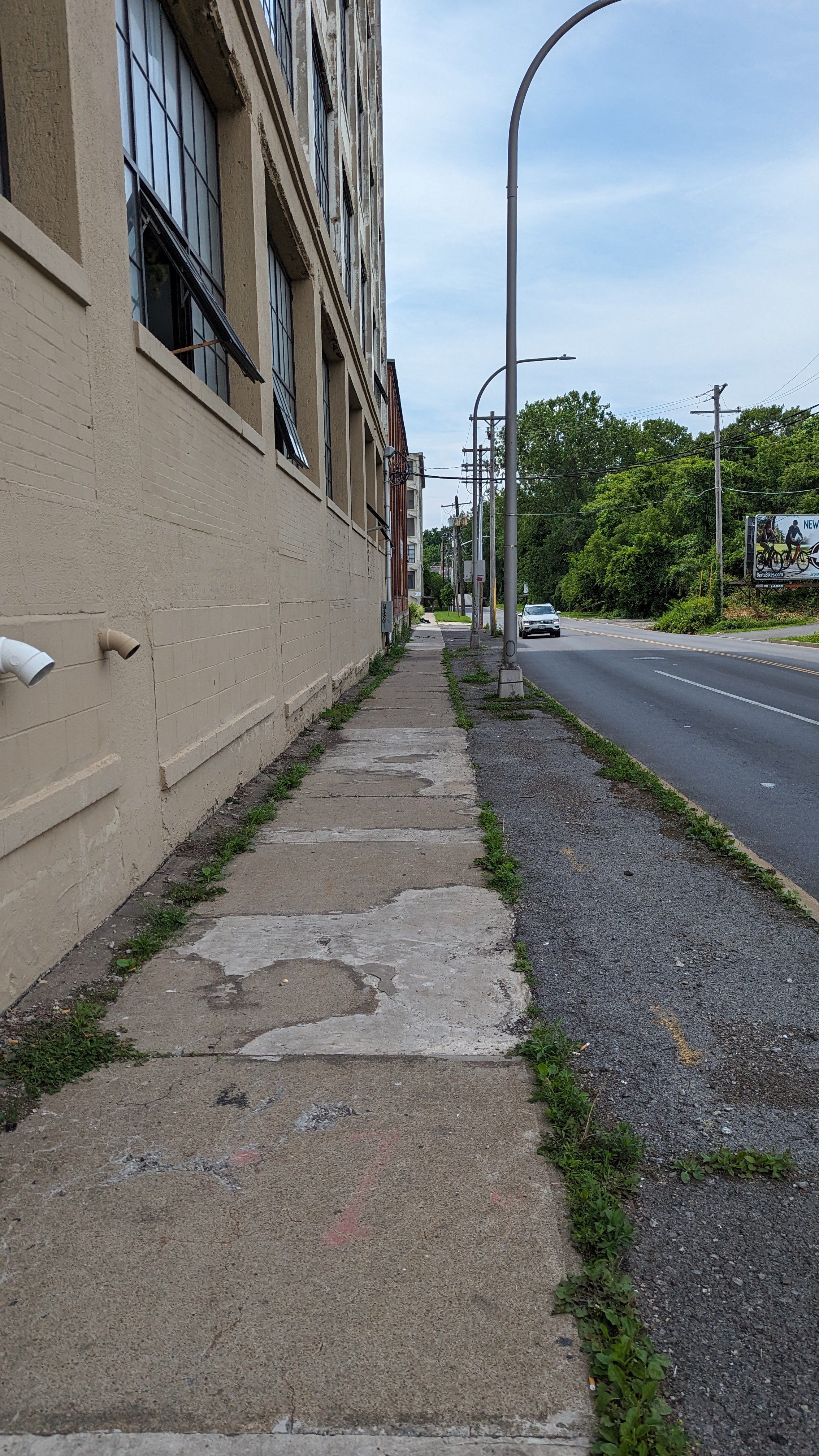
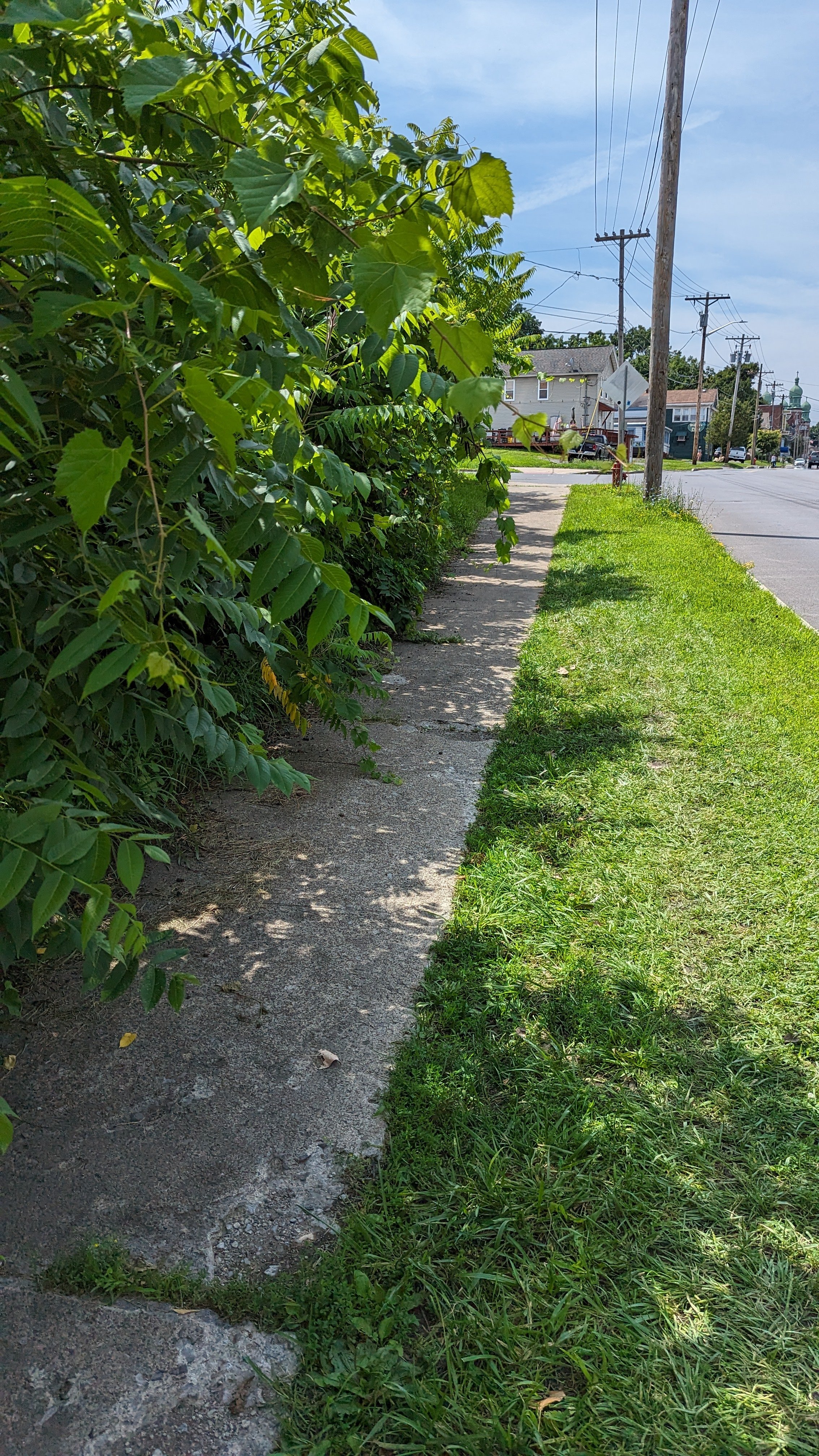
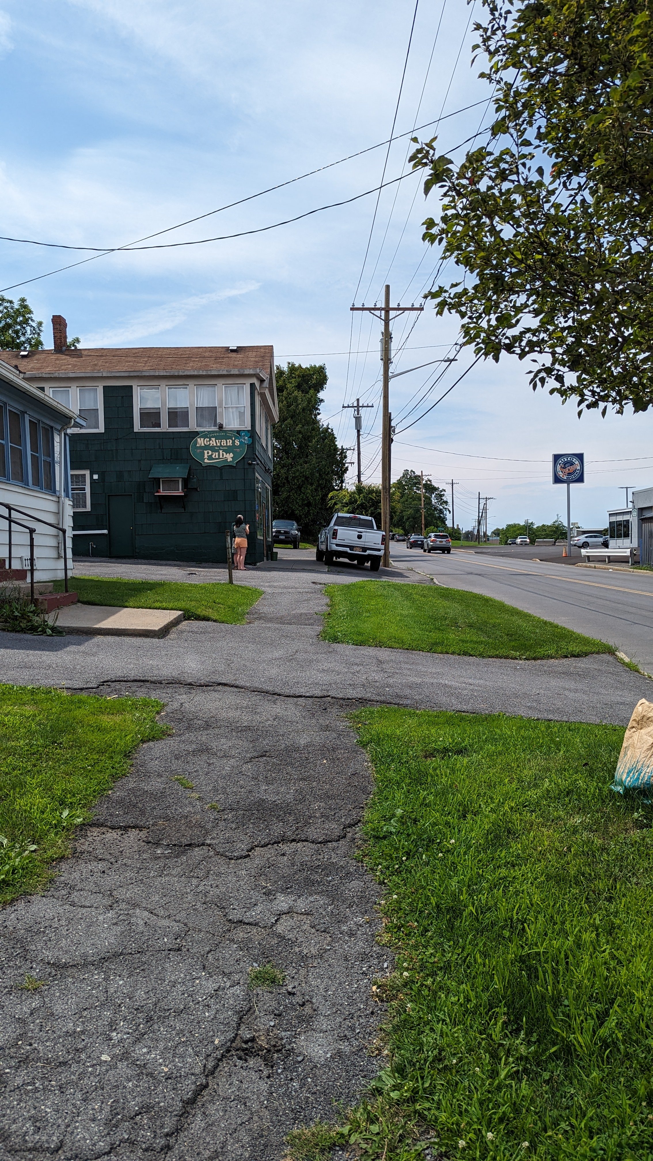
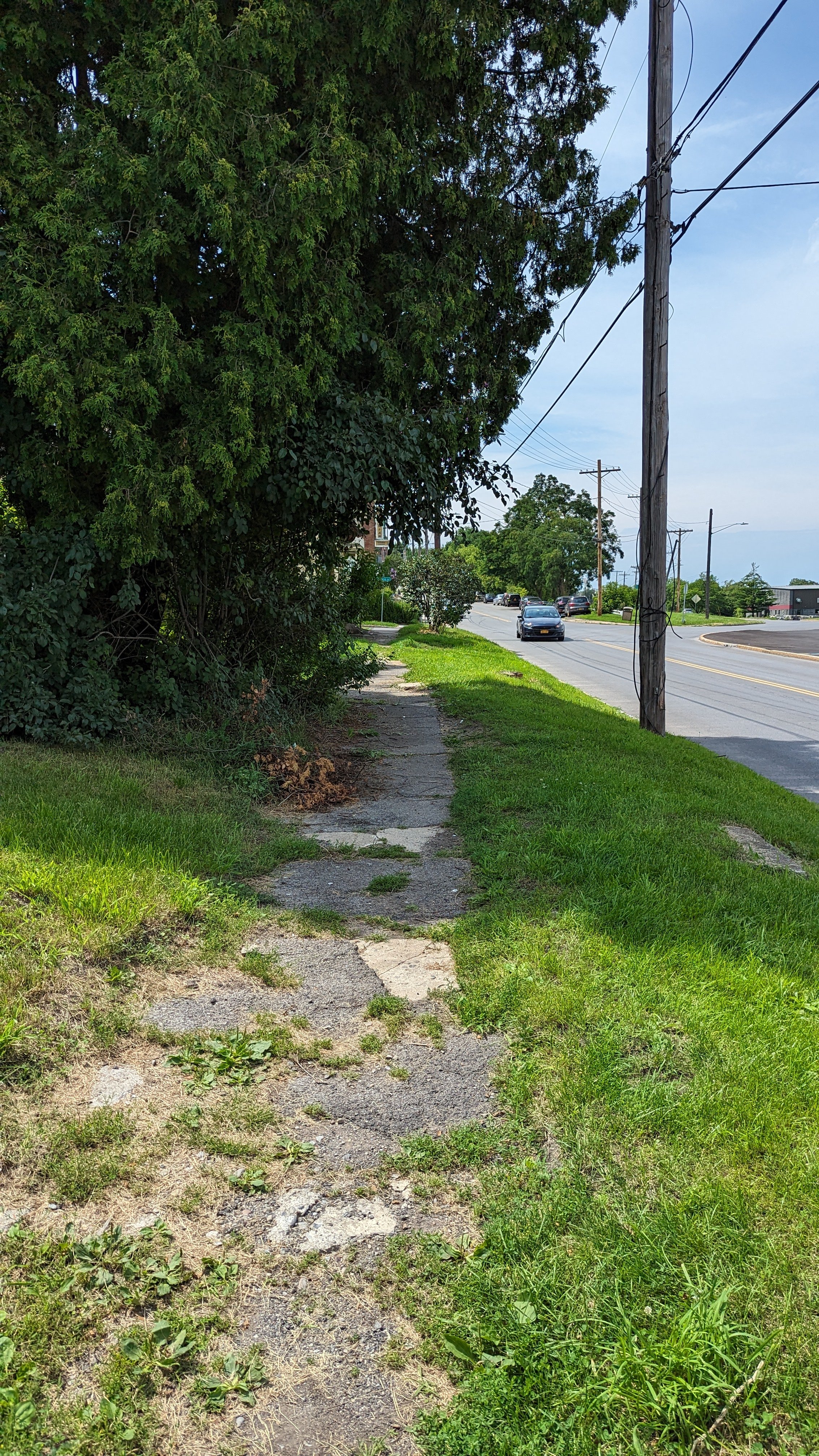
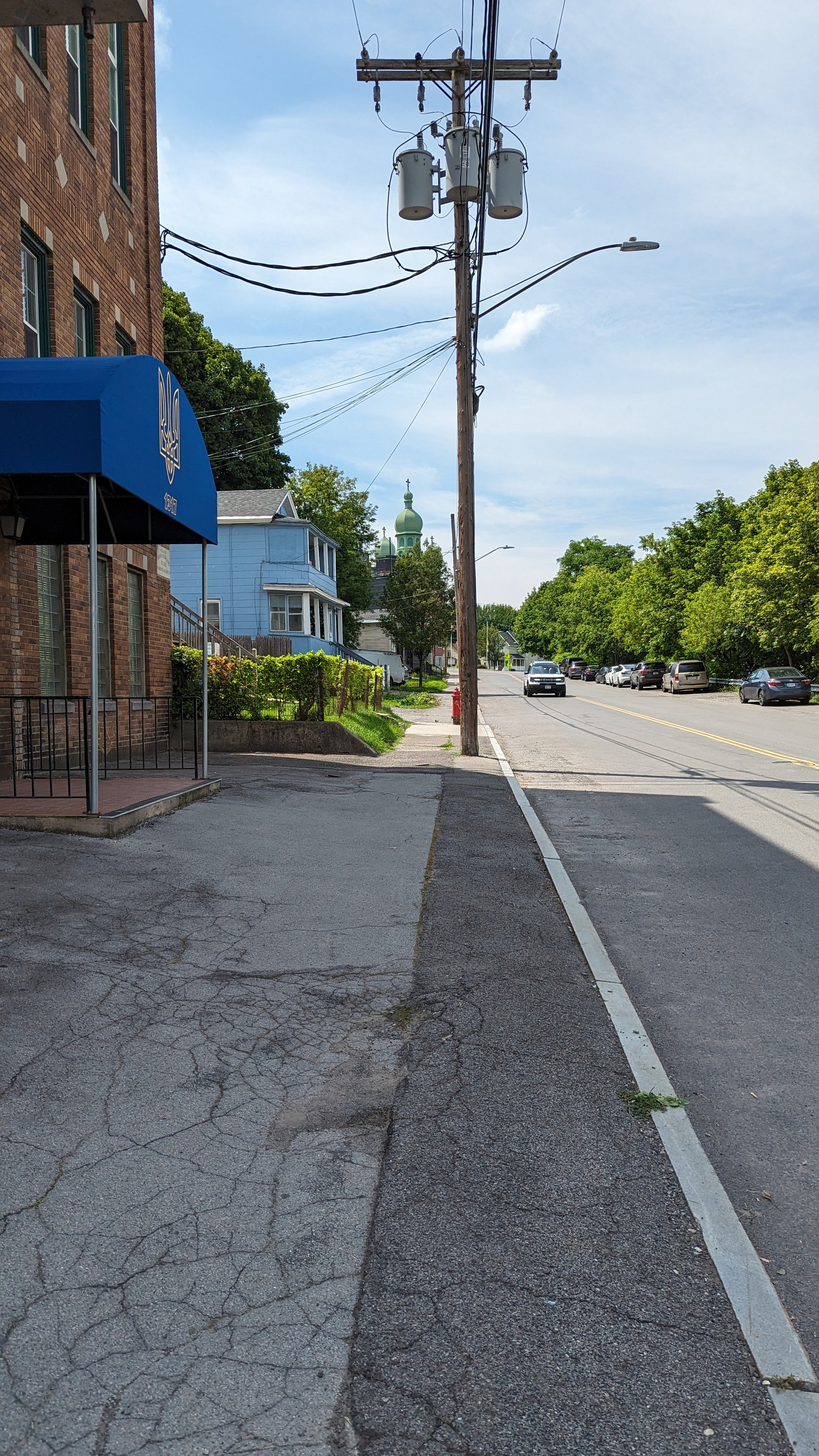
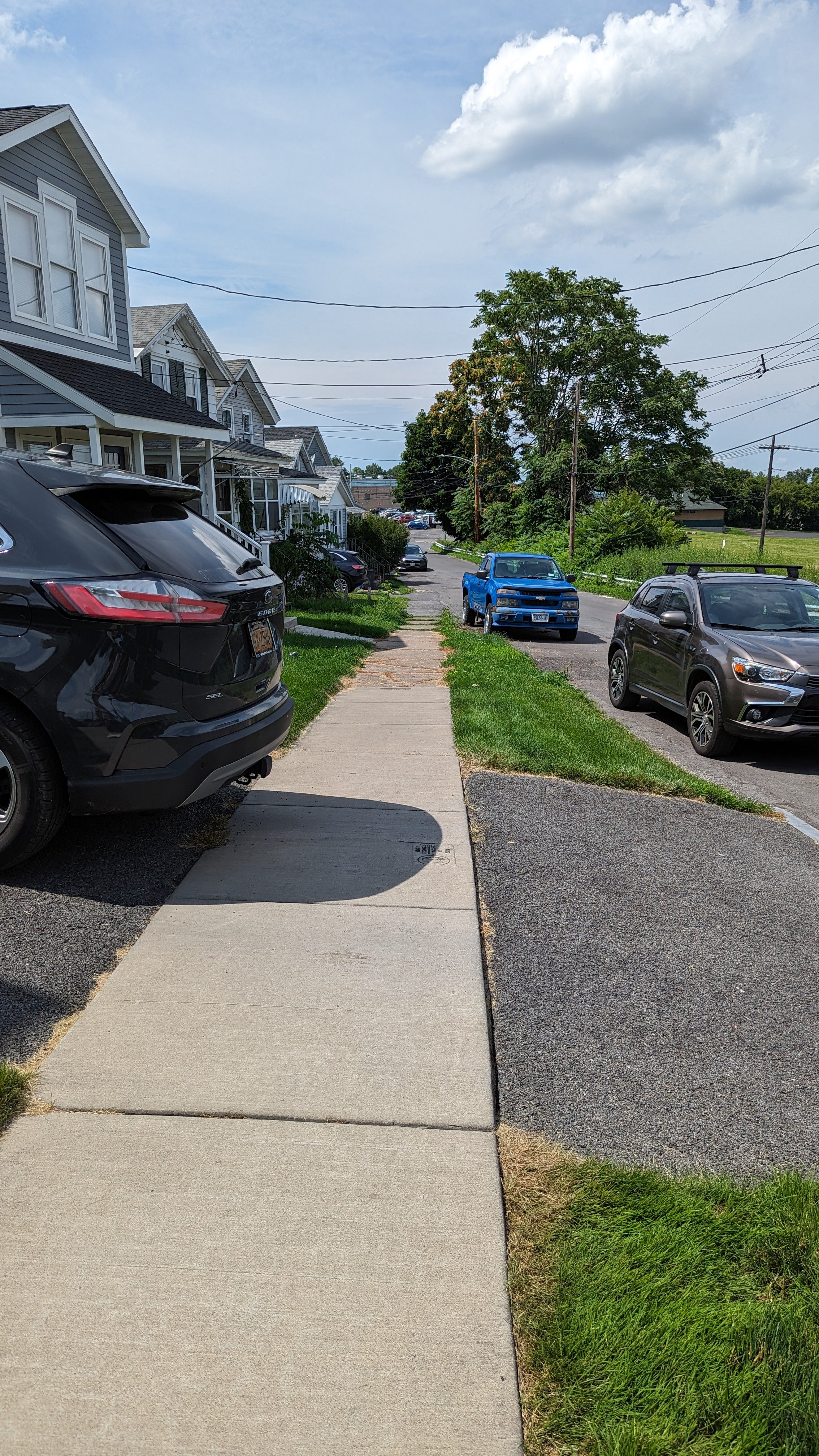
Once you’re under the railroad bridge, you’ve mostly made it to Tipperary Hill, just a few more blocks to get to most of the bars. And those blocks mostly lack quality sidewalks. Where sidewalks do exist, they’re broken up and overgrown. Again, many of these issues will be addressed through the City’s new municipal sidewalk program, but will not be addressed is how we treat these spaces. Often cars block the spaces where people are meant to walk, either in driveways or outside of bars. The presence of a new sidewalk could dissuade some of these drivers from storing their cars here, but that won’t last for long. Part of the issue is that we still promote people driving to bars in the first place, often by providing free car storage.
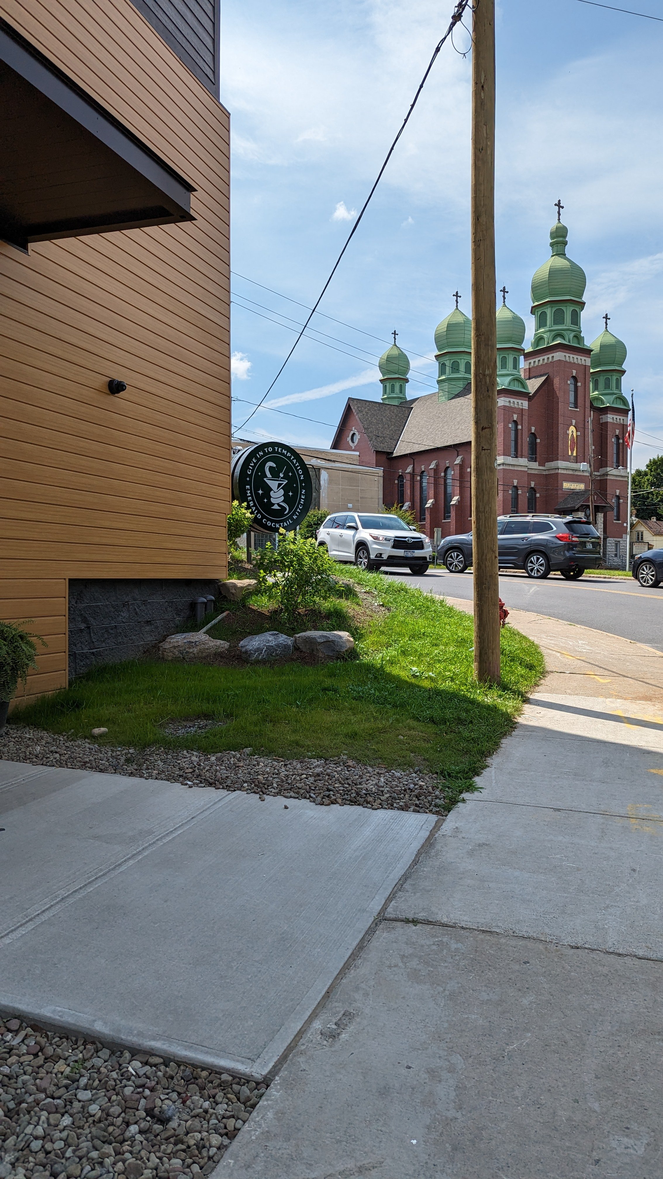
As you make your way up the hill, you arrive at the newest Tip Hill bar, Emerald Cocktail, which is the first rooftop bar in the City. This bar is built in a much more urban style, with no car storage and large windows that open up onto the street. Its a welcome addition to the area and helps fill a gap along the route, providing one more interesting stop to encourage you to walk between.
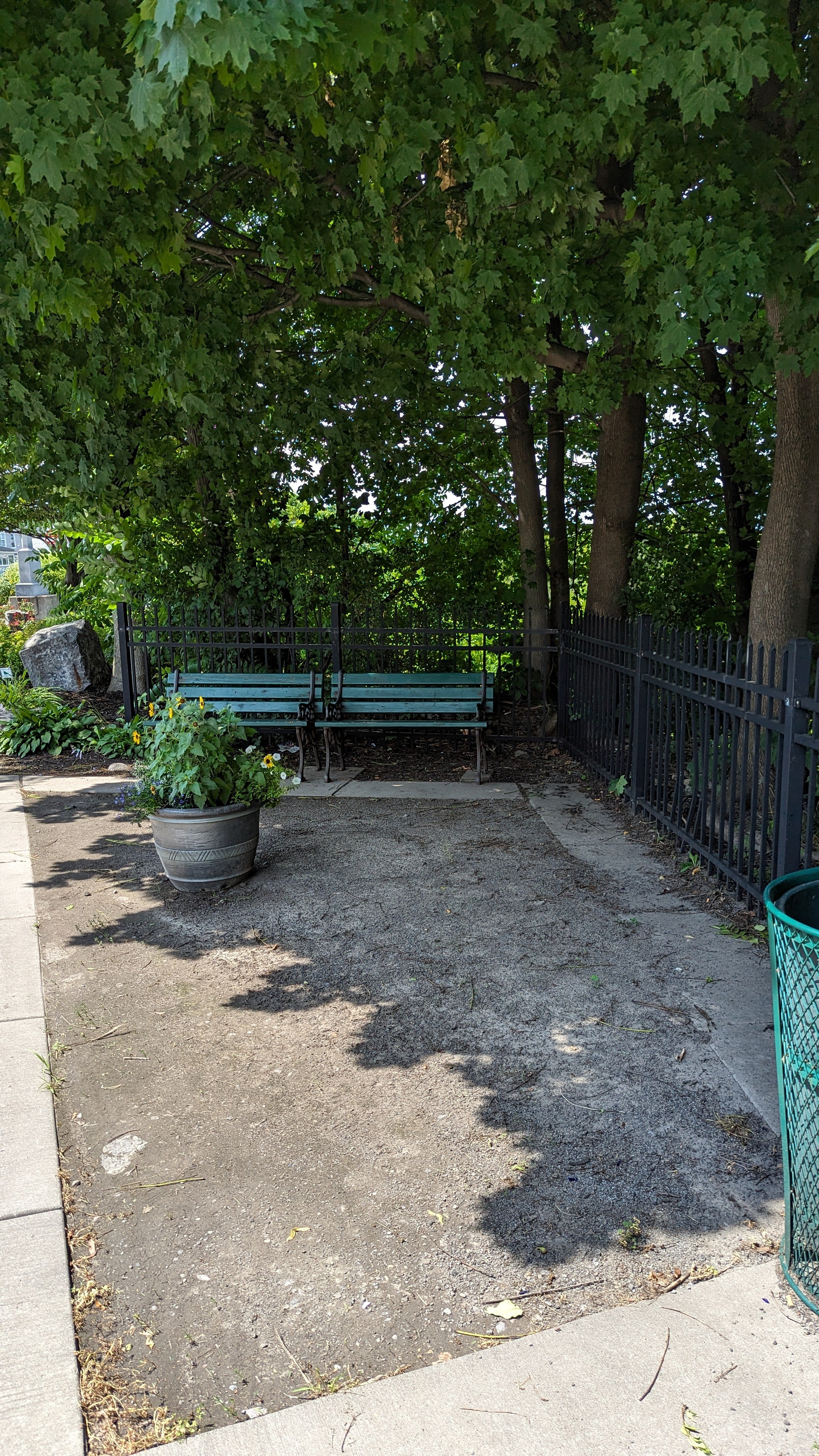
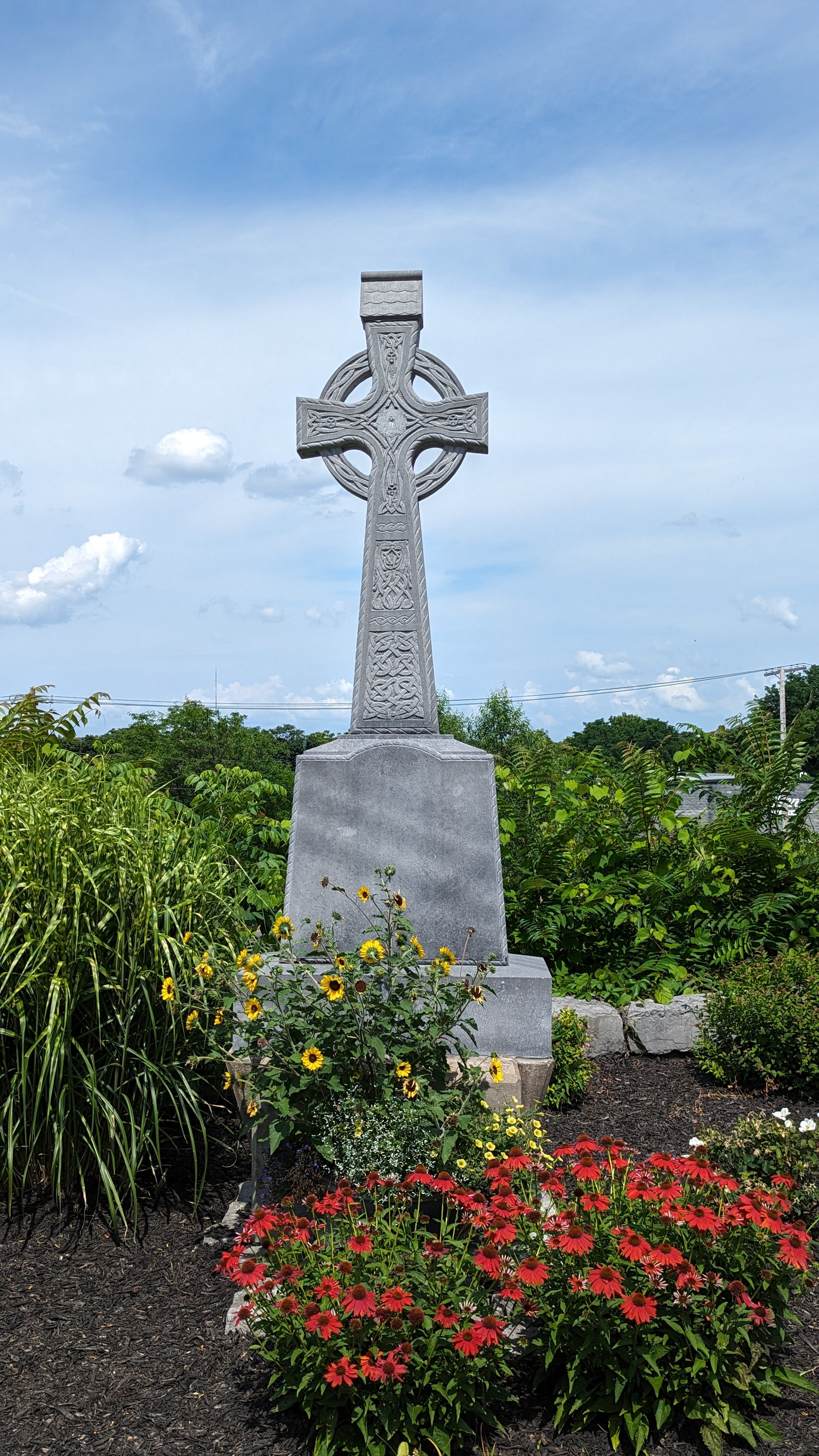
While the building and business are a welcome addition, the intersection it sits at is not ideal. The main issue here is a slip lane for westbound traffic to continue up Tompkins St. What is odd about this slip lane, and the way this intersection is set up, is that a small garden and seating area are positioned on the far side, across from the Ukrainian church, where no sidewalk exists. So we have pedestrian amenities placed where people are not encouraged to go. I would propose some changes to this area to make it more people friendly. The first major change is closing off the slip lane. Make cars slow down and perform a full turn at the light. This helps make their movements more predictable and easier for people to cross. Second, fill in that closed off slip lane by extending the garden. Make this a place people actually want to congregate. Encourage people to cross over to the church’s garden, where the Celtic cross stands. Give people a chance to sit outside in the shade as they walk through their neighborhood.
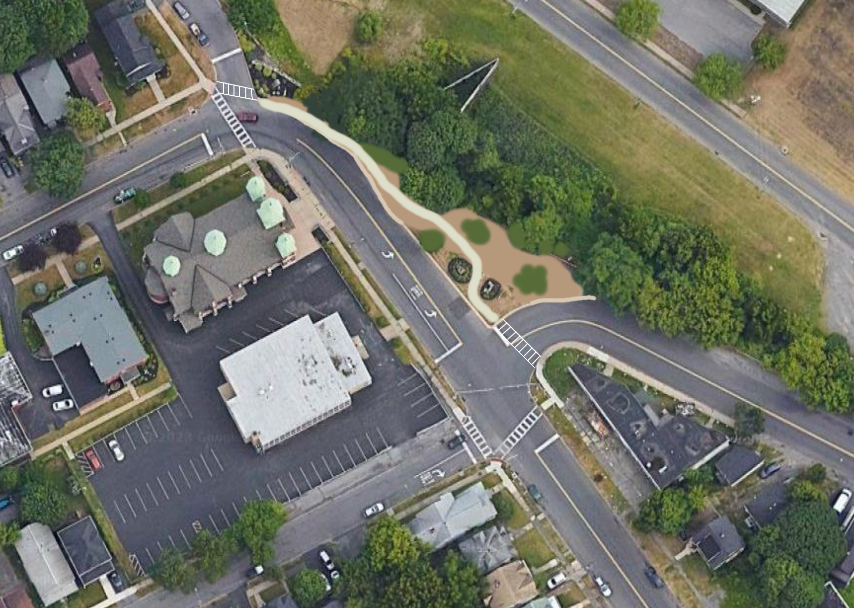
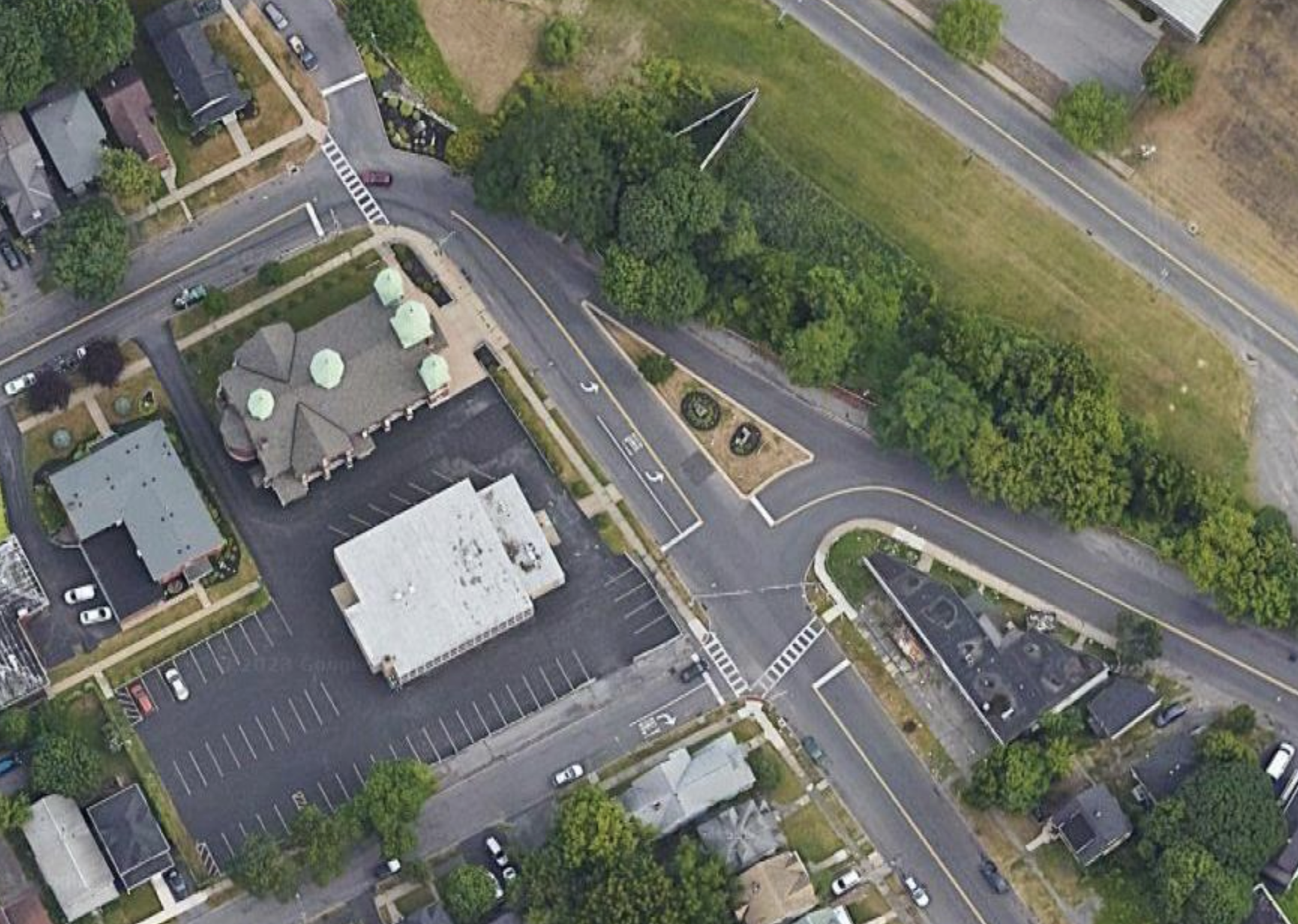
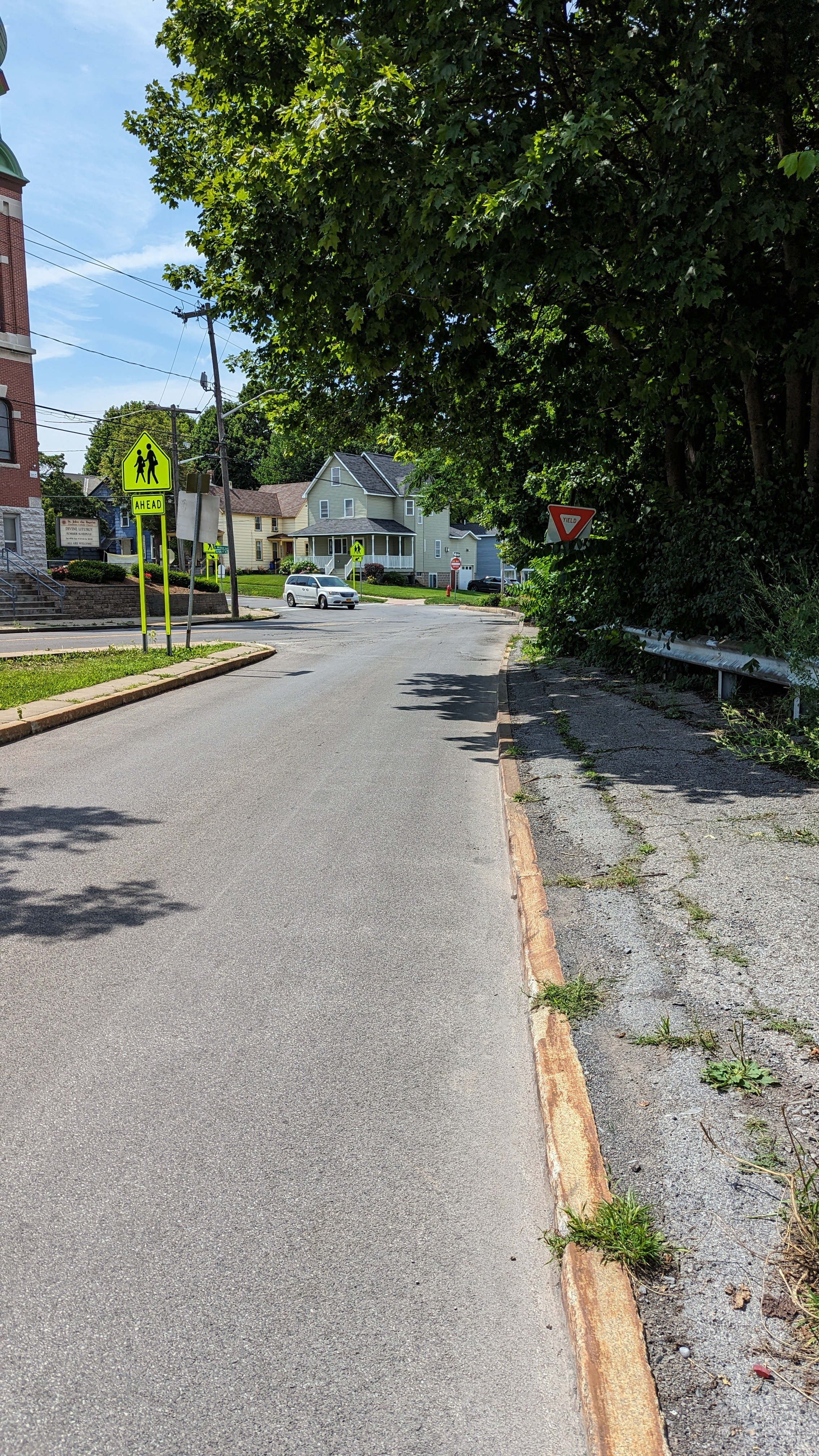
This intersection redesign would also help move people down towards Nibsy’s, but there’s need for improvements on that final block. Currently, N Wilbur Ave, between Tompkins St and Ulster St, is a one-way street heading south. While the street is narrow (around 23 ft), it can be narrowed further. If you remove on-street parking, with most homes having off-street space or the ability to store their car in the open lot down the block, you gain more than enough space to fit a full sidewalk down the block.
Speaking of that open lot, the space needs definition and shade. You would be forgiven if you were unsure where the street begins and the empty lot ends. No sidewalks help distinguish this expanse of asphalt from the street, and no formalized entrance points. While I personally would like to see this space developed into housing, along with the wide open field across W Fayette St, we should first start by defining the space. Add sidewalks and line it with shade trees. Then, in the future as housing demand increases, the space is primed for redevelopment into a higher use. But until that time, providing a shaded path across this open space will help to improve walkability for all.
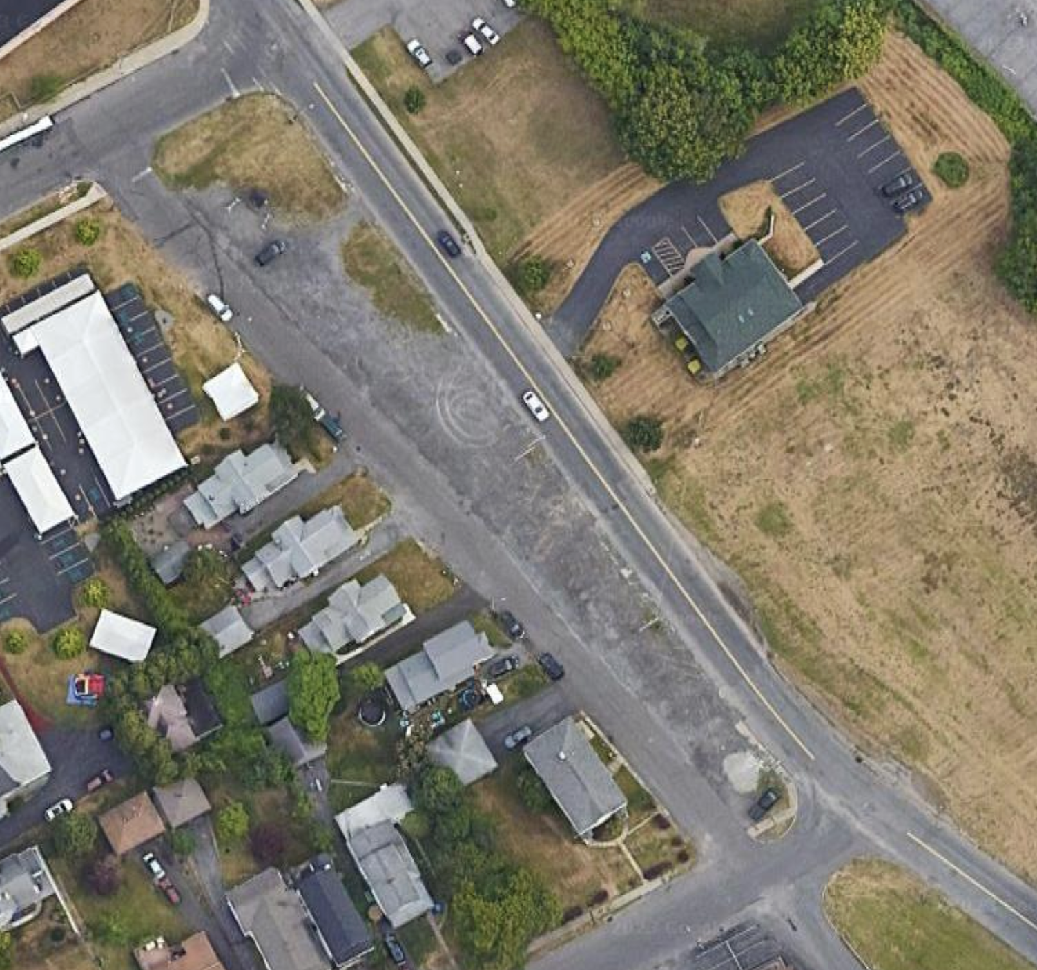
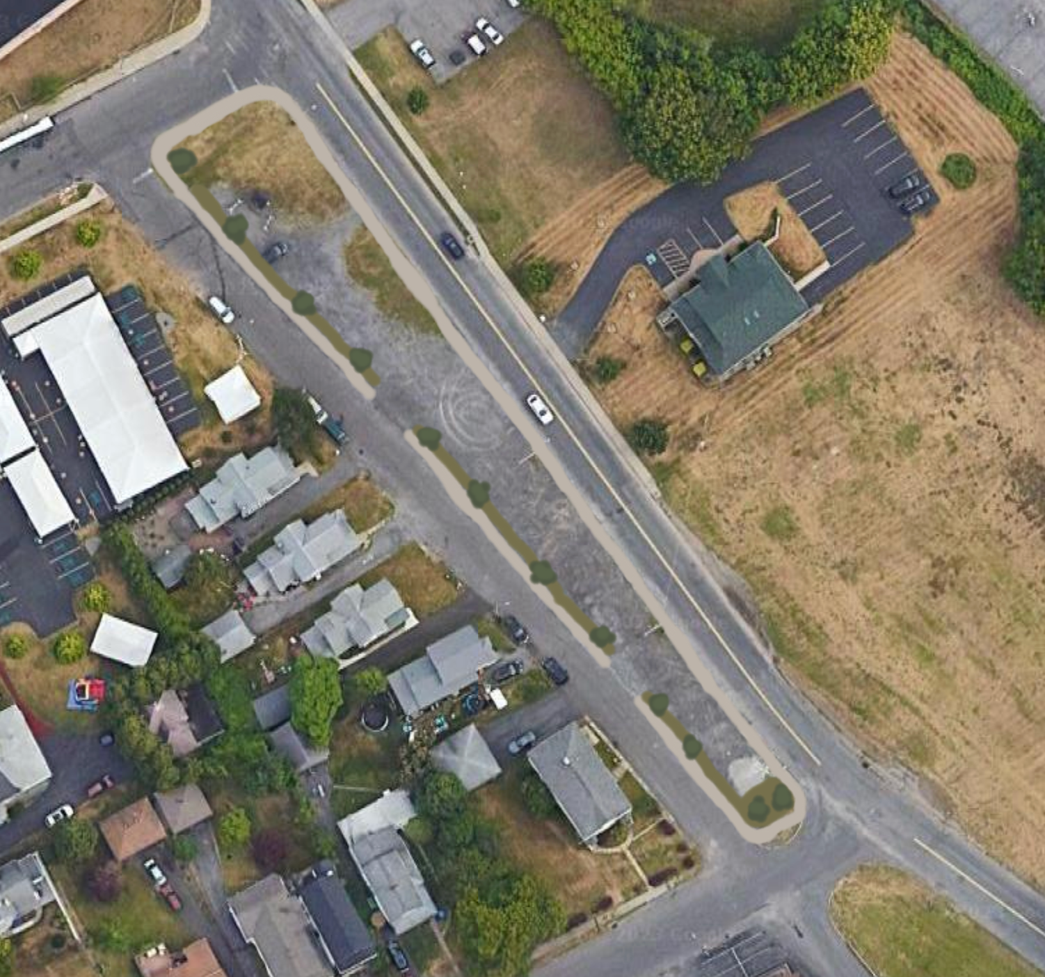
And, at the end of this lot, we finally reach St. Patrick’s Church.
This trip, right around 2 miles in length, and about 40 minutes, takes you through very different built environments with varying levels of success in terms of accessibility on foot. There’s a lot to work with, in terms of repurposing our legacy buildings, slowing traffic, and adding shade, but there are good bones to work from. One of the keys is realizing that we must design spaces for the uses we desire, not for what is there currently. A prime connective corridor like W Fayette St should be oriented towards people on foot, while Erie Blvd W, where the Erie Canal used to run, was never meant for people. Finding ways to shift car trips to that corridor, and reimagining a neighborhood corridor is a good place to start.


